10752 38th St SW Dickinson, ND 58601
Estimated Value: $518,000 - $723,000
2
Beds
3
Baths
2,160
Sq Ft
$293/Sq Ft
Est. Value
About This Home
This home is located at 10752 38th St SW, Dickinson, ND 58601 and is currently estimated at $633,908, approximately $293 per square foot. 10752 38th St SW is a home located in Stark County.
Ownership History
Date
Name
Owned For
Owner Type
Purchase Details
Closed on
Aug 12, 2021
Sold by
Binek Linda M
Bought by
Weinstein Curtis and Weinstein Kristal
Current Estimated Value
Home Financials for this Owner
Home Financials are based on the most recent Mortgage that was taken out on this home.
Original Mortgage
$480,000
Outstanding Balance
$436,469
Interest Rate
2.9%
Mortgage Type
New Conventional
Estimated Equity
$197,439
Create a Home Valuation Report for This Property
The Home Valuation Report is an in-depth analysis detailing your home's value as well as a comparison with similar homes in the area
Home Values in the Area
Average Home Value in this Area
Purchase History
| Date | Buyer | Sale Price | Title Company |
|---|---|---|---|
| Weinstein Curtis | $260,000 | Queen City Abstract T&E Inc | |
| Weinstein Curtis | -- | Queen City Abstract T&E Inc | |
| Weinstein Curtis | $600,000 | Queen City Abstract T&E Inc | |
| Weinstein Curtis | $600,000 | Queen City Abstract T&E Inc |
Source: Public Records
Mortgage History
| Date | Status | Borrower | Loan Amount |
|---|---|---|---|
| Open | Weinstein Curtis | $480,000 |
Source: Public Records
Tax History Compared to Growth
Tax History
| Year | Tax Paid | Tax Assessment Tax Assessment Total Assessment is a certain percentage of the fair market value that is determined by local assessors to be the total taxable value of land and additions on the property. | Land | Improvement |
|---|---|---|---|---|
| 2024 | $2,757 | $300,200 | $18,700 | $281,500 |
| 2023 | $2,708 | $301,600 | $18,700 | $280,500 |
| 2022 | $2,716 | $301,600 | $18,700 | $280,500 |
| 2021 | $2,703 | $334,500 | $21,100 | $313,400 |
| 2020 | $3,076 | $328,300 | $21,100 | $307,200 |
| 2019 | $3,078 | $328,700 | $21,100 | $307,600 |
| 2018 | $3,039 | $331,500 | $21,100 | $310,400 |
| 2017 | $2,425 | $332,100 | $21,100 | $311,000 |
| 2015 | $2,425 | $293,400 | $21,100 | $272,300 |
| 2014 | $2,381 | $278,200 | $21,100 | $257,100 |
| 2013 | -- | $263,700 | $21,100 | $242,600 |
Source: Public Records
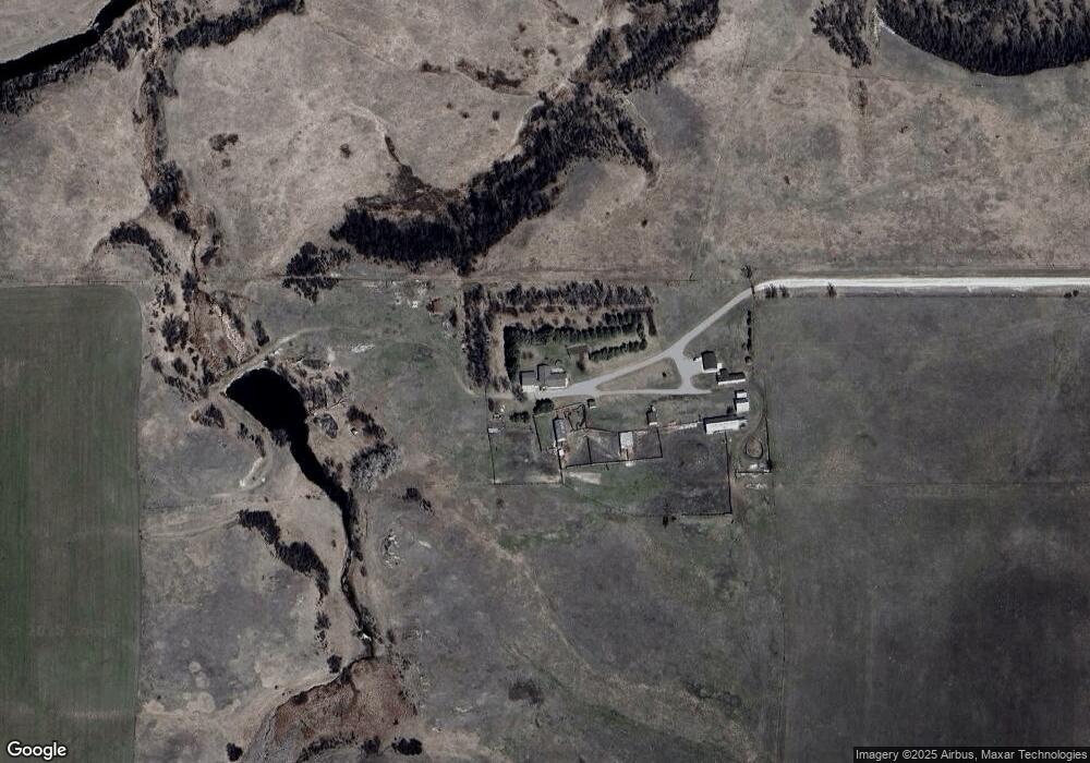
Map
Nearby Homes
- 0 Public Works Blvd
- 10924 38th St SW
- 0 35th Ave E
- 0 Lot 3 Block 2 39th Ave E
- 0 Interstate 94 Business Loop E
- 0 Lot 2 Block 2 39th Ave E
- 0 E Villard St
- 873 25th Ave E
- 914 Pheasant Run Ave
- 929 Pheasant Run Ave
- 861 Mustang Ave
- 985 Pheasant Run Ave
- 245 15th Ave E
- 257 15th Ave E
- 915 Mustang Ave
- 618 16th Ave E
- 691 17th Ave E
- 986 Mustang Ave
- 985 Mustang Ave