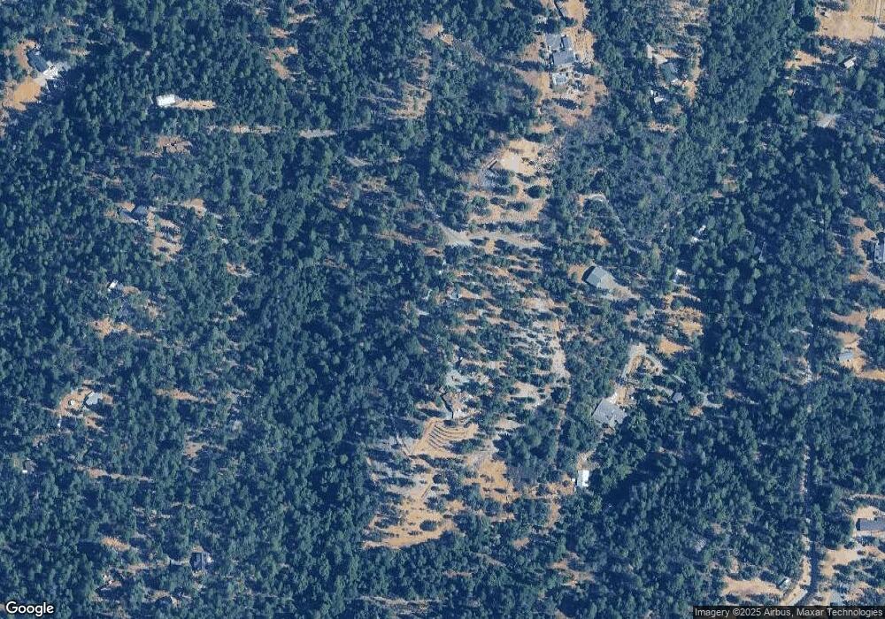
10756 Gunsmoke Rd Grass Valley, CA 95945
Estimated Value: $312,000 - $393,000
2
Beds
1
Bath
960
Sq Ft
$373/Sq Ft
Est. Value
About This Home
This home is located at 10756 Gunsmoke Rd, Grass Valley, CA 95945 and is currently estimated at $358,255, approximately $373 per square foot. 10756 Gunsmoke Rd is a home with nearby schools including Bell Hill Academy, Margaret G. Scotten Elementary School, and Lyman Gilmore Middle School.
Ownership History
Date
Name
Owned For
Owner Type
Purchase Details
Closed on
Jul 14, 1999
Sold by
Weaver Michael P and Weaver Janet M
Bought by
Weaver Michael P and Weaver Janet M
Current Estimated Value
Home Financials for this Owner
Home Financials are based on the most recent Mortgage that was taken out on this home.
Original Mortgage
$60,000
Interest Rate
7.51%
Mortgage Type
Purchase Money Mortgage
Create a Home Valuation Report for This Property
The Home Valuation Report is an in-depth analysis detailing your home's value as well as a comparison with similar homes in the area
Home Values in the Area
Average Home Value in this Area
Purchase History
| Date | Buyer | Sale Price | Title Company |
|---|---|---|---|
| Weaver Michael P | -- | Financial Title Company | |
| Weaver Michael P | -- | First American Title |
Source: Public Records
Mortgage History
| Date | Status | Borrower | Loan Amount |
|---|---|---|---|
| Closed | Weaver Michael P | $60,000 |
Source: Public Records
Tax History Compared to Growth
Tax History
| Year | Tax Paid | Tax Assessment Tax Assessment Total Assessment is a certain percentage of the fair market value that is determined by local assessors to be the total taxable value of land and additions on the property. | Land | Improvement |
|---|---|---|---|---|
| 2025 | $1,941 | $160,729 | $53,868 | $106,861 |
| 2024 | $1,890 | $157,578 | $52,812 | $104,766 |
| 2023 | $1,890 | $154,489 | $51,777 | $102,712 |
| 2022 | $1,870 | $151,461 | $50,762 | $100,699 |
| 2021 | $1,813 | $148,492 | $49,767 | $98,725 |
| 2020 | $1,807 | $146,970 | $49,257 | $97,713 |
| 2019 | $1,736 | $144,090 | $48,292 | $95,798 |
| 2018 | $1,725 | $141,266 | $47,346 | $93,920 |
| 2017 | $1,659 | $138,498 | $46,418 | $92,080 |
| 2016 | $1,601 | $135,783 | $45,508 | $90,275 |
| 2015 | $1,577 | $133,745 | $44,825 | $88,920 |
| 2014 | $1,577 | $131,126 | $43,947 | $87,179 |
Source: Public Records
Map
Nearby Homes
- 12673 Hoppy Hollow Rd
- 12765 Rodriguez Ct
- 12914 Lost Lake Rd
- 12595 Blackberry Trail
- 0 Belle Star Rd
- 14210 Murphy Place
- 12380 Gold Starr Ln
- 13036 Capitol Dr
- 15397 Flying Cloud Dr
- 17215 Sweetwater Trail
- 13928 Manion Canyon Rd
- 13966 Mill Creek Ln
- 13162 Manion Canyon Rd
- 12444 Manion Canyon Rd
- 13709 Capitol Dr
- 11668 Blackberry Place
- 13625 Pegasus Place
- 12900 Madrone Forest Dr
- 14652 Carman Ct
- 17721 Knoll Top Dr
- 10818 Gunsmoke Rd
- 14210 Raccoon Mountain Rd
- 12544 Hoppy Hollow Rd
- 13793 Raccoon Mountain Rd
- 12430 Hoppy Hollow Rd
- 15895 Greenhorn Rd
- 15895 Greenhorn Rd
- 13968 Raccoon Mountain Rd
- 13916 Raccoon Mountain Rd
- 13794 Raccoon Mountain Rd
- 13870 Raccoon Mountain Rd
- 15519 Greenhorn Rd
- 13717 Raccoon Mountain Rd
- 12770 Hoppy Hollow Rd
- 12354 Hoppy Hollow Rd
- 13718 Raccoon Mountain Rd
- 12323 Hoppy Hollow Rd
- 13945 Family Cir
- 14885 Christmas Tree Ln
- 15435 Greenhorn Rd
