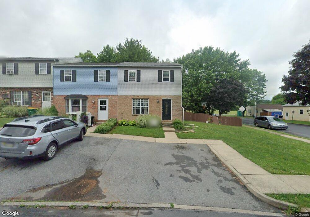
1076 Driver Place Allentown, PA 18106
Lower Macungie Township East NeighborhoodEstimated Value: $229,000 - $300,000
3
Beds
3
Baths
1,320
Sq Ft
$207/Sq Ft
Est. Value
About This Home
This home is located at 1076 Driver Place, Allentown, PA 18106 and is currently estimated at $272,844, approximately $206 per square foot. 1076 Driver Place is a home located in Lehigh County with nearby schools including Willow Lane Elementary School, Lower Macungie Middle School, and Emmaus High School.
Ownership History
Date
Name
Owned For
Owner Type
Purchase Details
Closed on
May 11, 2022
Sold by
Malacin Cindy M
Bought by
Pierre-Philippe Jerry and Pierre-Philippe Randi
Current Estimated Value
Home Financials for this Owner
Home Financials are based on the most recent Mortgage that was taken out on this home.
Original Mortgage
$206,196
Outstanding Balance
$195,917
Interest Rate
5.27%
Mortgage Type
FHA
Estimated Equity
$76,927
Purchase Details
Closed on
Aug 25, 1989
Sold by
Ruffino Salvatore
Bought by
Arner Cindy M
Purchase Details
Closed on
Jun 27, 1989
Sold by
Ruffino Salvatore and Ruffino Joseph
Bought by
Ruffino Salvatore
Purchase Details
Closed on
Aug 3, 1987
Bought by
Ruffino Salvatore and Ruffino Joseph
Create a Home Valuation Report for This Property
The Home Valuation Report is an in-depth analysis detailing your home's value as well as a comparison with similar homes in the area
Home Values in the Area
Average Home Value in this Area
Purchase History
| Date | Buyer | Sale Price | Title Company |
|---|---|---|---|
| Pierre-Philippe Jerry | $210,000 | Gross Mcginley Llp | |
| Arner Cindy M | $96,500 | -- | |
| Ruffino Salvatore | -- | -- | |
| Ruffino Salvatore | $72,500 | -- |
Source: Public Records
Mortgage History
| Date | Status | Borrower | Loan Amount |
|---|---|---|---|
| Open | Pierre-Philippe Jerry | $206,196 |
Source: Public Records
Tax History Compared to Growth
Tax History
| Year | Tax Paid | Tax Assessment Tax Assessment Total Assessment is a certain percentage of the fair market value that is determined by local assessors to be the total taxable value of land and additions on the property. | Land | Improvement |
|---|---|---|---|---|
| 2025 | $3,679 | $144,100 | $18,600 | $125,500 |
| 2024 | $3,559 | $144,100 | $18,600 | $125,500 |
| 2023 | $3,488 | $144,100 | $18,600 | $125,500 |
| 2022 | $3,406 | $144,100 | $125,500 | $18,600 |
| 2021 | $3,333 | $144,100 | $18,600 | $125,500 |
| 2020 | $3,301 | $144,100 | $18,600 | $125,500 |
| 2019 | $2,120 | $144,100 | $18,600 | $125,500 |
| 2018 | $3,203 | $144,100 | $18,600 | $125,500 |
| 2017 | $3,147 | $144,100 | $18,600 | $125,500 |
| 2016 | -- | $144,100 | $18,600 | $125,500 |
| 2015 | -- | $144,100 | $18,600 | $125,500 |
| 2014 | -- | $144,100 | $18,600 | $125,500 |
Source: Public Records
Map
Nearby Homes
- 5673 Wedge Ln
- 5736 Greens Dr
- 5619 Stonecroft Ln
- 5524 Stonecroft Ln
- 5475 Hamilton Blvd Unit 7
- 1037 Village Round Unit L
- 997 Village Round Unit K
- 997K Village Round Unit 104K
- 5300 Hanover Dr
- 6179 Fairway Ln
- 1385 Brookside Rd
- 6007 Timberknoll Dr
- 5280 Townsquare Dr
- 6126 Palomino Dr
- 1675 Hamlet Dr
- 5133 Meadow Ln
- 4881 Spruce Rd
- 1991 Autumn Ridge Rd
- 2056 Autumn Ridge Rd
- 5821 Daniel St
- 1080 Driver Place
- 1082 Driver Place
- 1086 Driver Place
- 1088 Driver Place
- 1061 S Krocks Rd
- 5650 Kart Dr
- 1041 S Krocks Rd
- 1096 Driver Place
- 1073 S Krocks Rd
- 5653 Kart Dr
- 1098 Driver Place
- 5647 Kart Dr
- 5646 Kart Dr
- 1102 Driver Place
- 5644 Kart Dr
- 5641 Kart Dr
- 5661 Wood Ln
- 5640 Kart Dr
- 1106 Driver Place
- 1085 S Krocks Rd