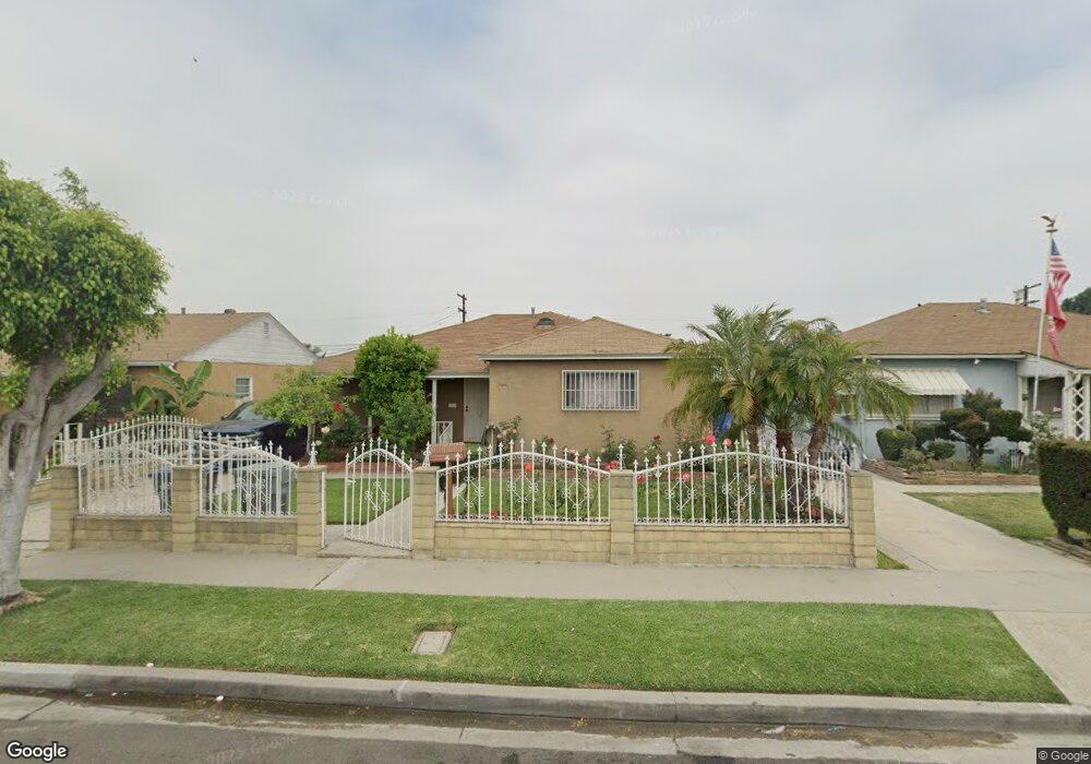
10761 Lewis Rd Lynwood, CA 90262
Estimated Value: $676,000 - $763,000
3
Beds
1
Bath
1,650
Sq Ft
$446/Sq Ft
Est. Value
About This Home
This home is located at 10761 Lewis Rd, Lynwood, CA 90262 and is currently estimated at $735,223, approximately $445 per square foot. 10761 Lewis Rd is a home located in Los Angeles County with nearby schools including Roosevelt Elementary School, Hosler Middle School, and Lynwood High School.
Ownership History
Date
Name
Owned For
Owner Type
Purchase Details
Closed on
Apr 3, 2019
Sold by
Herrera Herrera Jose Ines Jose Ines and Herrera Ramos Manuela
Bought by
Herrera Family Trust
Current Estimated Value
Purchase Details
Closed on
Oct 29, 1993
Sold by
Ureta Nicomedos and Ureta Ofelia
Bought by
Herrera J Ines
Home Financials for this Owner
Home Financials are based on the most recent Mortgage that was taken out on this home.
Original Mortgage
$104,000
Interest Rate
3.87%
Create a Home Valuation Report for This Property
The Home Valuation Report is an in-depth analysis detailing your home's value as well as a comparison with similar homes in the area
Home Values in the Area
Average Home Value in this Area
Purchase History
| Date | Buyer | Sale Price | Title Company |
|---|---|---|---|
| Herrera Family Trust | -- | None Available | |
| Herrera J Ines | $160,000 | United Title Company |
Source: Public Records
Mortgage History
| Date | Status | Borrower | Loan Amount |
|---|---|---|---|
| Closed | Herrera J Ines | $104,000 |
Source: Public Records
Tax History Compared to Growth
Tax History
| Year | Tax Paid | Tax Assessment Tax Assessment Total Assessment is a certain percentage of the fair market value that is determined by local assessors to be the total taxable value of land and additions on the property. | Land | Improvement |
|---|---|---|---|---|
| 2025 | $4,136 | $271,915 | $148,194 | $123,721 |
| 2024 | $4,136 | $266,585 | $145,289 | $121,296 |
| 2023 | $4,105 | $261,359 | $142,441 | $118,918 |
| 2022 | $3,964 | $256,236 | $139,649 | $116,587 |
| 2021 | $3,822 | $251,212 | $136,911 | $114,301 |
| 2019 | $3,901 | $243,762 | $132,851 | $110,911 |
| 2018 | $3,548 | $238,984 | $130,247 | $108,737 |
| 2016 | $3,305 | $229,706 | $125,191 | $104,515 |
| 2015 | $3,241 | $226,257 | $123,311 | $102,946 |
| 2014 | $3,172 | $221,826 | $120,896 | $100,930 |
Source: Public Records
Map
Nearby Homes
- 10891 Standard Ave
- 10933 Sampson Ave
- 10307 Alexander Ave
- 11267 Sampson Ave
- 4032 Le Sage St
- 11309 Annetta Ave
- 10406 San Carlos Ave
- 3831 Walnut Ave
- 9718 Otis St
- 9714 Otis St
- 3644 Platt Ave
- 4000 Platt Ave
- 10029 San Gabriel Ave
- 10348 California Ave
- 9616 Bowman Ave
- 3805 Lugo Ave
- 9643 Mallison Ave
- 10240 Atlantic Ave
- 9611 Mallison Ave
- 10249 California Ave
- 10741 Lewis Rd
- 10781 Lewis Rd
- 10801 Lewis Rd
- 10721 Lewis Rd
- 10760 Alexander Ave
- 10780 Alexander Ave
- 10740 Alexander Ave
- 10821 Lewis Rd
- 10701 Lewis Rd
- 10800 Alexander Ave
- 10720 Alexander Ave
- 10760 Lewis Rd
- 10780 Lewis Rd
- 10740 Lewis Rd
- 10820 Alexander Ave
- 10800 Lewis Rd
- 10831 Lewis Rd
- 10700 Alexander Ave
- 10720 Lewis Rd
- 10820 Lewis Rd