10767 Patterson Cir Franktown, CO 80116
Estimated Value: $1,057,669 - $1,313,000
4
Beds
4
Baths
3,328
Sq Ft
$345/Sq Ft
Est. Value
About This Home
This home is located at 10767 Patterson Cir, Franktown, CO 80116 and is currently estimated at $1,149,556, approximately $345 per square foot. 10767 Patterson Cir is a home located in Douglas County with nearby schools including Franktown Elementary School, Sagewood Middle School, and Ponderosa High School.
Ownership History
Date
Name
Owned For
Owner Type
Purchase Details
Closed on
Nov 14, 2023
Sold by
Koobs Richard Todd and Koobs Julie R
Bought by
Todd And Julie Koobs Living Trust
Current Estimated Value
Purchase Details
Closed on
Dec 4, 2003
Sold by
Janowitz Mildred
Bought by
Koobs Richard Todd and Koobs Julie R
Home Financials for this Owner
Home Financials are based on the most recent Mortgage that was taken out on this home.
Original Mortgage
$86,400
Interest Rate
6.01%
Mortgage Type
Unknown
Create a Home Valuation Report for This Property
The Home Valuation Report is an in-depth analysis detailing your home's value as well as a comparison with similar homes in the area
Home Values in the Area
Average Home Value in this Area
Purchase History
| Date | Buyer | Sale Price | Title Company |
|---|---|---|---|
| Todd And Julie Koobs Living Trust | -- | None Listed On Document | |
| Koobs Richard Todd | $108,000 | Land Title | |
| Koobs Richard Todd | -- | Land Title |
Source: Public Records
Mortgage History
| Date | Status | Borrower | Loan Amount |
|---|---|---|---|
| Previous Owner | Koobs Richard Todd | $86,400 |
Source: Public Records
Tax History Compared to Growth
Tax History
| Year | Tax Paid | Tax Assessment Tax Assessment Total Assessment is a certain percentage of the fair market value that is determined by local assessors to be the total taxable value of land and additions on the property. | Land | Improvement |
|---|---|---|---|---|
| 2024 | $5,265 | $64,780 | $28,640 | $36,140 |
| 2023 | $5,324 | $64,780 | $28,640 | $36,140 |
| 2022 | $4,222 | $50,430 | $18,190 | $32,240 |
| 2021 | $4,375 | $50,430 | $18,190 | $32,240 |
| 2020 | $4,077 | $48,080 | $16,370 | $31,710 |
| 2019 | $4,096 | $48,080 | $16,370 | $31,710 |
| 2018 | $3,653 | $42,120 | $12,710 | $29,410 |
| 2017 | $3,401 | $42,120 | $12,710 | $29,410 |
| 2016 | $3,198 | $38,840 | $9,430 | $29,410 |
| 2015 | $3,271 | $38,840 | $9,430 | $29,410 |
| 2014 | $3,230 | $35,840 | $9,150 | $26,690 |
Source: Public Records
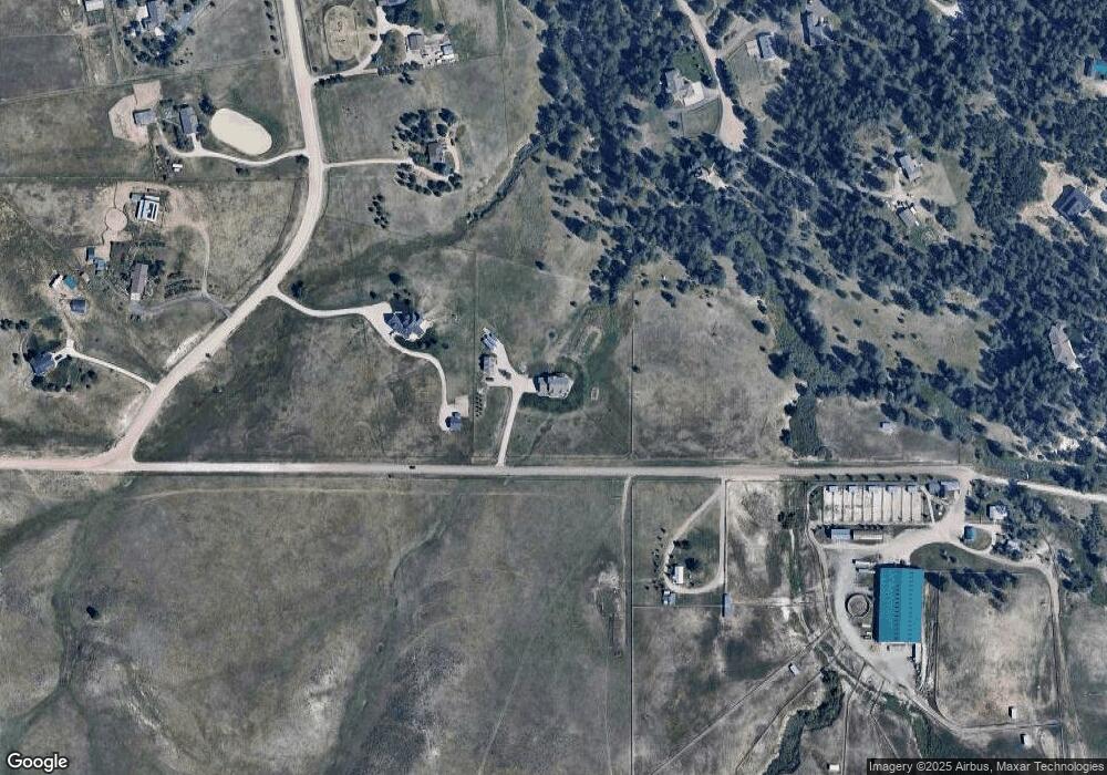
Map
Nearby Homes
- 1972 Gold Camp Way
- 11274 E Manitou Rd
- 1559 Apex Rd
- 2072 Summit St
- 1571 Arrowpoint Ct
- 1561 Arrowpoint Ct
- 1555 Arrowpoint Ct
- 30999 Kootney St
- 0 Kootney St
- 1341 Tomichi Dr
- 210 High Meadows Loop
- 9250 Steeplechase Dr
- 10400 Pine Valley Dr
- 1133 Tomichi Dr
- 1750 Arrowpoint Ct
- 1721 Arrowpoint Ct
- 1724 Arrowpoint Ct
- 31203 Longhorn Cir
- 11044 Conestoga Place
- 8780 Steeplechase Dr
- 2388 S Tarryall Way
- 2329 S Evans Way
- 2340 S Tarryall Way
- 2275 S Evans Way
- 2328 S Evans Way
- 2288 S Tarryall Way
- 2401 S Tarryall Way
- 2254 S Evans Way
- 2335 Tarryall Way
- 1901 Gold Camp Way
- 10874 Patterson Cir
- 2475 S Tarryall Way
- 2463 Placer St
- 2001 Gold Camp Way
- 2275 S Tarryall Way
- 2409 S Placer St
- 2208 S Tarryall Way
- 1859 Gold Camp Way
- 1922 Gold Camp Way
- 2233 Tarryall Way