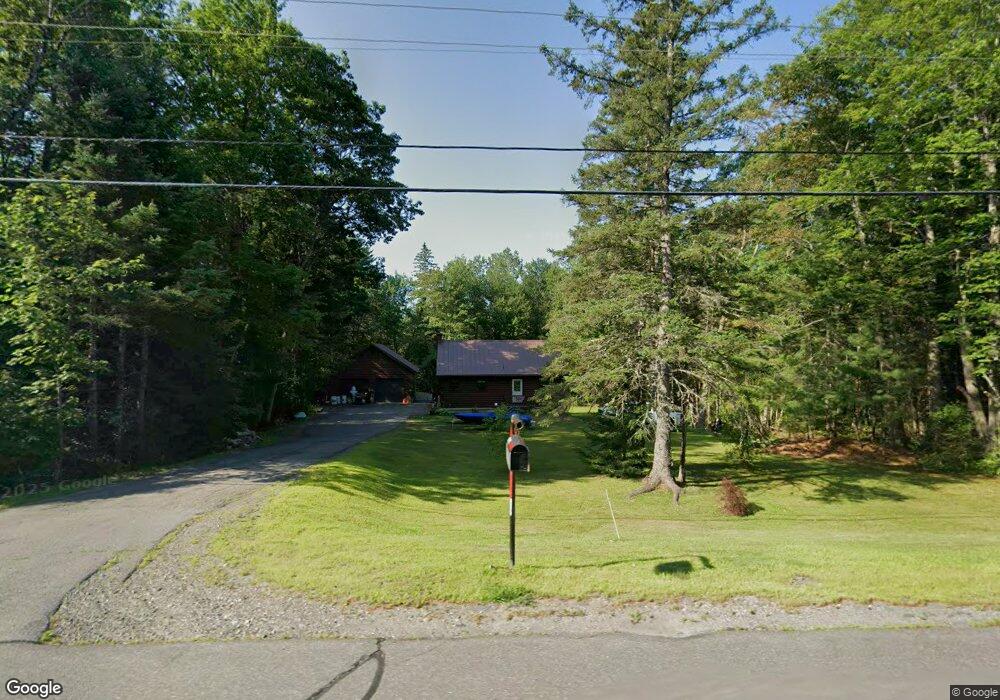
1077 Main Rd Eddington, ME 04428
Estimated Value: $287,125 - $355,000
2
Beds
2
Baths
1,531
Sq Ft
$205/Sq Ft
Est. Value
About This Home
This home is located at 1077 Main Rd, Eddington, ME 04428 and is currently estimated at $314,531, approximately $205 per square foot. 1077 Main Rd is a home located in Penobscot County.
Ownership History
Date
Name
Owned For
Owner Type
Purchase Details
Closed on
Dec 12, 2022
Sold by
Duff John P and Carlow-Duff Monique F
Bought by
Bouchard Natasha E
Current Estimated Value
Home Financials for this Owner
Home Financials are based on the most recent Mortgage that was taken out on this home.
Original Mortgage
$64,000
Outstanding Balance
$60,292
Interest Rate
3.11%
Mortgage Type
Stand Alone Refi Refinance Of Original Loan
Estimated Equity
$254,239
Purchase Details
Closed on
Oct 29, 2008
Sold by
Ford Lynn N
Bought by
Hsbc Bank Usa Tr
Create a Home Valuation Report for This Property
The Home Valuation Report is an in-depth analysis detailing your home's value as well as a comparison with similar homes in the area
Home Values in the Area
Average Home Value in this Area
Purchase History
| Date | Buyer | Sale Price | Title Company |
|---|---|---|---|
| Bouchard Natasha E | -- | None Available | |
| Bouchard Natasha E | -- | None Available | |
| Hsbc Bank Usa Tr | -- | -- | |
| Hsbc Bank Usa Tr | -- | -- |
Source: Public Records
Mortgage History
| Date | Status | Borrower | Loan Amount |
|---|---|---|---|
| Open | Bouchard Natasha E | $64,000 | |
| Closed | Bouchard Natasha E | $64,000 |
Source: Public Records
Tax History
| Year | Tax Paid | Tax Assessment Tax Assessment Total Assessment is a certain percentage of the fair market value that is determined by local assessors to be the total taxable value of land and additions on the property. | Land | Improvement |
|---|---|---|---|---|
| 2024 | $3,545 | $179,500 | $30,560 | $148,940 |
| 2023 | $3,114 | $179,500 | $30,560 | $148,940 |
| 2022 | $2,935 | $179,500 | $30,560 | $148,940 |
| 2021 | $2,879 | $165,960 | $30,560 | $135,400 |
| 2020 | $2,398 | $135,460 | $30,560 | $104,900 |
| 2019 | $2,262 | $135,460 | $30,560 | $104,900 |
| 2018 | $2,148 | $135,460 | $30,560 | $104,900 |
| 2017 | $2,174 | $135,460 | $30,560 | $104,900 |
| 2016 | $2,039 | $135,460 | $30,560 | $104,900 |
| 2015 | $1,934 | $135,460 | $30,560 | $104,900 |
| 2014 | $1,934 | $135,460 | $30,560 | $104,900 |
Source: Public Records
Map
Nearby Homes
- 0 Tbd Chemo Pond Rd
- Map7 Lot14 Chestnut Ln
- Lot 15-1 Forestry Ln
- Lot 16 Forestry Ln
- Lot 17 Forestry Ln
- Lot 12 Katahdin Way
- 451 Levenseller Rd
- 271 Clark Hill Rd
- 65 Barrett Ln
- 1166 Eastern Ave
- 500 Jarvis Gore Dr
- 443 Mann Hill Rd
- 20 Lakeman Ln
- 10 Coffey Hill Way
- 28 Fisher Rd
- 352 Main Rd
- 0 Tbd Mountain View Dr
- 386 Airline Rd
- 15-3 Royal Ridge
- 00 Lambert Rd(map 4-14 & 4-14-01)
Your Personal Tour Guide
Ask me questions while you tour the home.