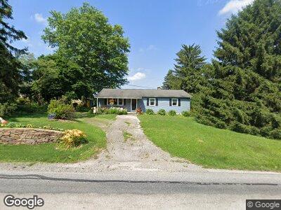
1077 Newark Rd Toughkenamon, PA 19374
Estimated Value: $268,000 - $363,000
3
Beds
1
Bath
1,344
Sq Ft
$232/Sq Ft
Est. Value
About This Home
This home is located at 1077 Newark Rd, Toughkenamon, PA 19374 and is currently estimated at $311,217, approximately $231 per square foot. 1077 Newark Rd is a home located in Chester County with nearby schools including Kennett Middle School, Kennett High School, and Avon Grove Charter School.
Ownership History
Date
Name
Owned For
Owner Type
Purchase Details
Closed on
May 14, 2004
Sold by
Froning Susan and Smith William H
Bought by
Taylor Jeanne C
Current Estimated Value
Home Financials for this Owner
Home Financials are based on the most recent Mortgage that was taken out on this home.
Original Mortgage
$118,000
Outstanding Balance
$58,870
Interest Rate
5.88%
Mortgage Type
Purchase Money Mortgage
Estimated Equity
$252,347
Create a Home Valuation Report for This Property
The Home Valuation Report is an in-depth analysis detailing your home's value as well as a comparison with similar homes in the area
Home Values in the Area
Average Home Value in this Area
Purchase History
| Date | Buyer | Sale Price | Title Company |
|---|---|---|---|
| Taylor Jeanne C | $147,500 | -- |
Source: Public Records
Mortgage History
| Date | Status | Borrower | Loan Amount |
|---|---|---|---|
| Open | Taylor Jeanne C | $118,000 |
Source: Public Records
Tax History Compared to Growth
Tax History
| Year | Tax Paid | Tax Assessment Tax Assessment Total Assessment is a certain percentage of the fair market value that is determined by local assessors to be the total taxable value of land and additions on the property. | Land | Improvement |
|---|---|---|---|---|
| 2024 | $3,756 | $93,780 | $25,340 | $68,440 |
| 2023 | $3,630 | $93,780 | $25,340 | $68,440 |
| 2022 | $3,577 | $93,780 | $25,340 | $68,440 |
| 2021 | $3,541 | $93,780 | $25,340 | $68,440 |
| 2020 | $3,473 | $93,780 | $25,340 | $68,440 |
| 2019 | $35 | $93,780 | $25,340 | $68,440 |
| 2018 | $3,373 | $93,780 | $25,340 | $68,440 |
| 2017 | $3,304 | $93,780 | $25,340 | $68,440 |
| 2016 | $372 | $93,780 | $25,340 | $68,440 |
| 2015 | $372 | $93,780 | $25,340 | $68,440 |
| 2014 | $372 | $93,780 | $25,340 | $68,440 |
Source: Public Records
Map
Nearby Homes
- 112 Reese St
- 1003 Newark Rd
- 1265 W Baltimore Pike
- 110 Daniel Dr
- 1 Hiview Dr
- 413 Bucktoe Rd
- 8841 Gap Newport Pike
- 100 Declan Unit HAWTHORNE
- 100 Declan Unit MAGNOLIA
- 100 Declan Unit SAVANNAH
- 100 Declan Unit NOTTINGHAM
- 162 Bancroft Rd Unit CARLTON GRND
- 162 Bancroft Rd Unit CARLTON
- 162 Bancroft Rd Unit SUTTON
- 162 Bancroft Rd Unit SG
- 100 Fernwood Dr
- 208 Honey Locust Dr
- 222 Honey Locust Dr
- 605 Church Rd
- 109 Ronway Dr