Estimated Value: $312,745 - $381,000
4
Beds
3
Baths
3,454
Sq Ft
$99/Sq Ft
Est. Value
About This Home
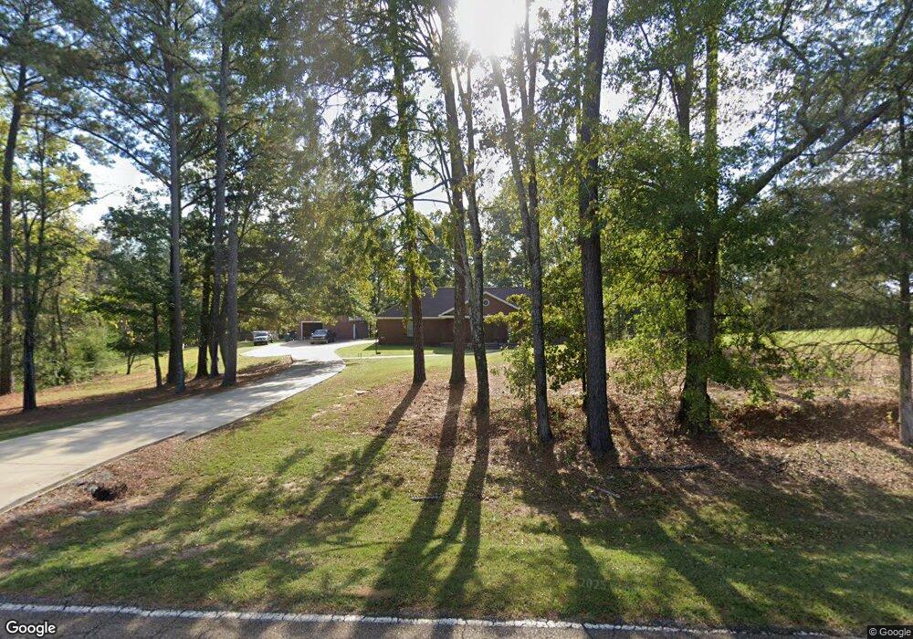
This home is located at 10779 Springridge Rd, Terry, MS 39170 and is currently estimated at $341,686, approximately $98 per square foot. 10779 Springridge Rd is a home located in Hinds County with nearby schools including Raymond High School.
Ownership History
Date
Name
Owned For
Owner Type
Purchase Details
Closed on
Oct 6, 2009
Sold by
Blush Jaime
Bought by
Jones James W
Current Estimated Value
Home Financials for this Owner
Home Financials are based on the most recent Mortgage that was taken out on this home.
Original Mortgage
$245,471
Outstanding Balance
$160,534
Interest Rate
5.11%
Mortgage Type
FHA
Estimated Equity
$181,152
Create a Home Valuation Report for This Property
The Home Valuation Report is an in-depth analysis detailing your home's value as well as a comparison with similar homes in the area
Purchase History
| Date | Buyer | Sale Price | Title Company |
|---|---|---|---|
| Jones James W | -- | -- |
Source: Public Records
Mortgage History
| Date | Status | Borrower | Loan Amount |
|---|---|---|---|
| Open | Jones James W | $245,471 |
Source: Public Records
Tax History
| Year | Tax Paid | Tax Assessment Tax Assessment Total Assessment is a certain percentage of the fair market value that is determined by local assessors to be the total taxable value of land and additions on the property. | Land | Improvement |
|---|---|---|---|---|
| 2025 | $1,147 | $17,330 | $3,500 | $13,830 |
| 2024 | $1,147 | $17,034 | $3,500 | $13,534 |
| 2023 | $1,147 | $17,034 | $3,500 | $13,534 |
| 2022 | $2,005 | $17,034 | $3,500 | $13,534 |
| 2021 | $1,705 | $17,034 | $3,500 | $13,534 |
| 2020 | $1,644 | $16,796 | $3,500 | $13,296 |
| 2019 | $1,632 | $16,796 | $3,500 | $13,296 |
| 2018 | $1,632 | $16,796 | $3,500 | $13,296 |
| 2017 | $1,585 | $16,796 | $3,500 | $13,296 |
| 2016 | $1,585 | $16,796 | $3,500 | $13,296 |
| 2015 | $1,613 | $17,044 | $3,500 | $13,544 |
| 2014 | $1,578 | $17,044 | $3,500 | $13,544 |
Source: Public Records
Map
Nearby Homes
- 109 Grande Oaks Dr
- 4516 Kimbell Rd
- 0 S Ridge Rd
- 699 Meadow Ln
- 812 Fairway Ave
- 801 Fairway Ave
- 808 Fairway Ave
- 805 Fairway Ave
- 611 S Springlake Cir
- 109 Lucas Ct
- 100 Lucas Ct
- 824 Fairway Ave
- 820 Fairway Ave
- 816 Fairway Ave
- 2120 Meagan Dr
- 504 Parker Dr
- 1507 W Flowers Rd
- 324 Martha Dr
- 224 Brannan Ave
- 561 N Springlake Cir
- 111 Springridge Rd
- 100 Oak View Dr
- 10730 Springridge Rd
- 10790 Springridge Rd
- 105 Oak View Dr
- 104 Oak View Dr
- 10700 Springridge Rd
- 10850 Springridge Rd
- 4782 Kimbell Rd
- 109 Oak View Dr
- 0 N Oak Pine St Unit Lot 9 Corner St
- 0 N Oak Pine St Unit Corner Stone Lo
- 111 Oak View Dr
- 108 Oak View Dr
- 10900 Springridge Rd
- 208 N Oak Cove
- 4728 Kimbell Rd
- 205 N Oak Cove
- 113 Oak View Dr
- 10675 Springridge Rd
Your Personal Tour Guide
Ask me questions while you tour the home.