1078 George Durham Rd Westmoreland, TN 37186
Estimated Value: $335,000 - $490,050
--
Bed
1
Bath
1,232
Sq Ft
$349/Sq Ft
Est. Value
About This Home
This home is located at 1078 George Durham Rd, Westmoreland, TN 37186 and is currently estimated at $430,263, approximately $349 per square foot. 1078 George Durham Rd is a home located in Sumner County with nearby schools including Westmoreland Elementary School, Westmoreland Middle School, and Westmoreland High School.
Ownership History
Date
Name
Owned For
Owner Type
Purchase Details
Closed on
Aug 20, 1999
Sold by
Kiningham Aubrey W and Kiningham Susan M
Bought by
Cain Steven B and Cain Nancy L
Current Estimated Value
Home Financials for this Owner
Home Financials are based on the most recent Mortgage that was taken out on this home.
Original Mortgage
$111,600
Outstanding Balance
$32,070
Interest Rate
7.65%
Estimated Equity
$398,193
Purchase Details
Closed on
Aug 2, 1994
Sold by
Kincaid Edna F
Bought by
Kiningham Aubrey W
Create a Home Valuation Report for This Property
The Home Valuation Report is an in-depth analysis detailing your home's value as well as a comparison with similar homes in the area
Home Values in the Area
Average Home Value in this Area
Purchase History
| Date | Buyer | Sale Price | Title Company |
|---|---|---|---|
| Cain Steven B | $124,000 | -- | |
| Kiningham Aubrey W | -- | -- |
Source: Public Records
Mortgage History
| Date | Status | Borrower | Loan Amount |
|---|---|---|---|
| Open | Cain Steven B | $111,600 |
Source: Public Records
Tax History Compared to Growth
Tax History
| Year | Tax Paid | Tax Assessment Tax Assessment Total Assessment is a certain percentage of the fair market value that is determined by local assessors to be the total taxable value of land and additions on the property. | Land | Improvement |
|---|---|---|---|---|
| 2024 | $591 | $159,150 | $125,775 | $33,375 |
| 2023 | $1,346 | $59,775 | $38,500 | $21,275 |
| 2022 | $1,352 | $59,775 | $38,500 | $21,275 |
| 2021 | $1,352 | $59,775 | $38,500 | $21,275 |
| 2020 | $1,352 | $59,775 | $38,500 | $21,275 |
| 2019 | $1,352 | $0 | $0 | $0 |
| 2018 | $1,097 | $0 | $0 | $0 |
| 2017 | $1,097 | $0 | $0 | $0 |
| 2016 | $1,097 | $0 | $0 | $0 |
| 2015 | -- | $0 | $0 | $0 |
| 2014 | -- | $0 | $0 | $0 |
Source: Public Records
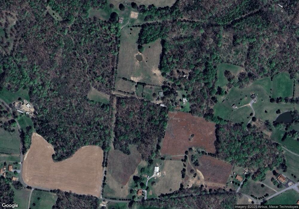
Map
Nearby Homes
- 1308 Mount Olive Rd
- 1270 Mount Olive Rd
- 1250B Mount Olive Rd
- 3001 Fleet Rd
- 1004 Gaines Hill Rd
- 1006 Gaines Hill Rd
- 1709 Fairfield Rd
- 1340 Herschal Lyles Rd
- 1124 Gaines Hill Rd
- 425 Buck Graves Rd
- 1320 Fairfield Rd
- 2326 Fairfield Rd
- 2290 Fairfield Rd
- 390 Pedigo Rd
- 1500 Stafford Hollow Rd
- 1122 Fairfield Rd
- 1918 Pleasant Ridge Church Rd
- 148 Smalling Rd Pleasant Ridge Church Rd
- 228 J W Thompson Rd
- 3708 E New Roe Rd
- 1795 Herschal Lyles Rd
- 1110 George Durham Rd
- 1135 George Durham Rd
- 1160 George Durham Rd
- 1017 James Snow Rd
- 1299 Mount Olive Rd
- 1524 Herschal Lyles Rd
- 1297 Mount Olive Rd
- 1304 Mount Olive Rd
- 568 George Durham Rd
- 1300 Mount Olive Rd
- 1285 Mount Olive Rd
- 1296 Mount Olive Rd
- 1180 George Durham Rd
- 1292 Mount Olive Rd
- 1502 Herschal Lyles Rd
- 1288 Mount Olive Rd
- 1010 James Snow Rd
- 1498B Herschal Lyles Rd
- 1030 James Snow Rd