10788 Pearce Rd West Fork, AR 72774
Estimated Value: $209,000 - $265,000
3
Beds
2
Baths
2,940
Sq Ft
$83/Sq Ft
Est. Value
About This Home
This home is located at 10788 Pearce Rd, West Fork, AR 72774 and is currently estimated at $244,780, approximately $83 per square foot. 10788 Pearce Rd is a home located in Washington County with nearby schools including West Fork Elementary School, West Fork Middle School, and West Fork High School.
Ownership History
Date
Name
Owned For
Owner Type
Purchase Details
Closed on
Jan 10, 2022
Sold by
Garretson Calvin L and Garretson Catherine M
Bought by
Sanderson Joshua
Current Estimated Value
Home Financials for this Owner
Home Financials are based on the most recent Mortgage that was taken out on this home.
Original Mortgage
$171,717
Outstanding Balance
$157,935
Interest Rate
3.11%
Mortgage Type
New Conventional
Estimated Equity
$86,845
Purchase Details
Closed on
Feb 7, 2019
Sold by
Wilcox Sharon L
Bought by
Garretson Calvin L and Garretson Catherine M
Home Financials for this Owner
Home Financials are based on the most recent Mortgage that was taken out on this home.
Original Mortgage
$128,627
Interest Rate
4.5%
Mortgage Type
FHA
Purchase Details
Closed on
Oct 9, 2013
Sold by
Wilcox Sharon
Bought by
Wilcox Sharon L
Create a Home Valuation Report for This Property
The Home Valuation Report is an in-depth analysis detailing your home's value as well as a comparison with similar homes in the area
Home Values in the Area
Average Home Value in this Area
Purchase History
| Date | Buyer | Sale Price | Title Company |
|---|---|---|---|
| Sanderson Joshua | $170,000 | Natural State Title | |
| Garretson Calvin L | $131,000 | Realty Title & Closing Svcs | |
| Wilcox Sharon L | -- | None Available |
Source: Public Records
Mortgage History
| Date | Status | Borrower | Loan Amount |
|---|---|---|---|
| Open | Sanderson Joshua | $171,717 | |
| Previous Owner | Garretson Calvin L | $128,627 |
Source: Public Records
Tax History Compared to Growth
Tax History
| Year | Tax Paid | Tax Assessment Tax Assessment Total Assessment is a certain percentage of the fair market value that is determined by local assessors to be the total taxable value of land and additions on the property. | Land | Improvement |
|---|---|---|---|---|
| 2025 | $1,772 | $36,990 | $9,000 | $27,990 |
| 2024 | $1,772 | $36,990 | $9,000 | $27,990 |
| 2023 | $1,779 | $36,990 | $9,000 | $27,990 |
| 2022 | $895 | $25,370 | $4,800 | $20,570 |
| 2021 | $895 | $25,370 | $4,800 | $20,570 |
| 2020 | $895 | $25,370 | $4,800 | $20,570 |
| 2019 | $711 | $21,540 | $4,000 | $17,540 |
| 2018 | $1,086 | $21,540 | $4,000 | $17,540 |
| 2017 | $1,004 | $21,540 | $4,000 | $17,540 |
| 2016 | $1,054 | $21,540 | $4,000 | $17,540 |
| 2015 | $948 | $21,540 | $4,000 | $17,540 |
| 2014 | $862 | $18,490 | $4,000 | $14,490 |
Source: Public Records
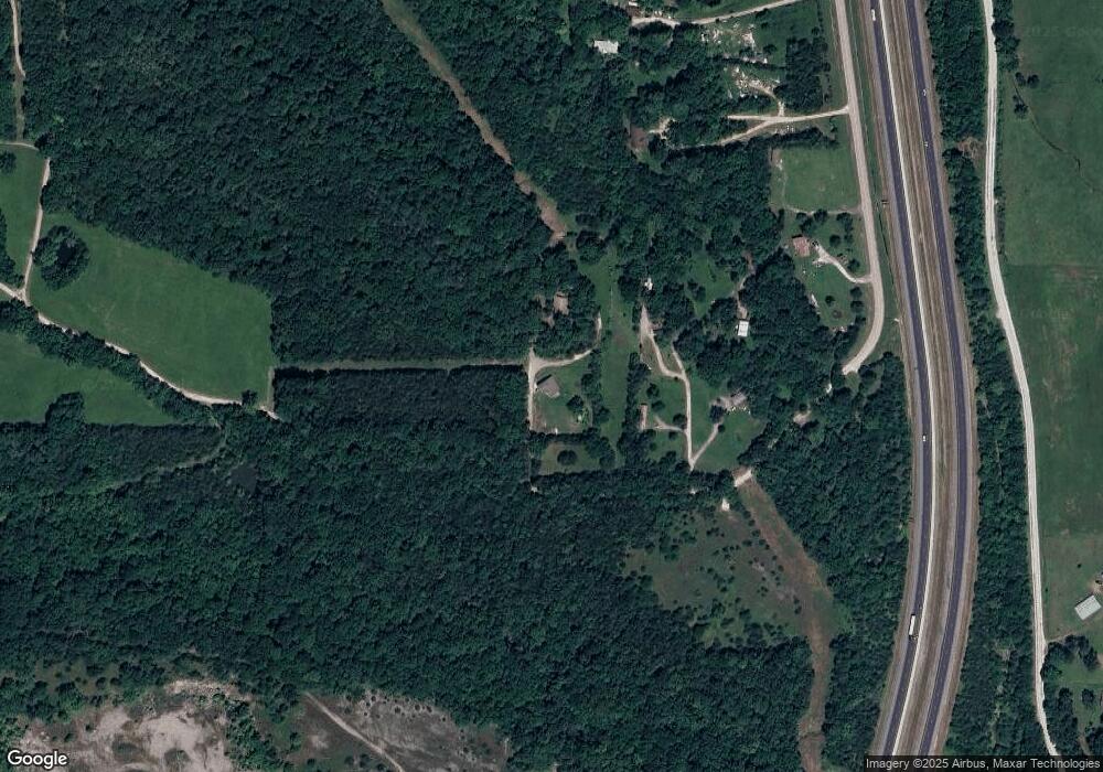
Map
Nearby Homes
- 11084 Pearce Rd
- 19.7 Acres Arkansas 156
- 50 Northwood St
- 875 James Place
- 27 Northwood St
- 602 N Centennial Ave
- 815 James Place
- 106 Pleasant St
- TBD Butterfield Ave
- 121 & 129 Main St
- 10845 SW Campbell Rd
- 10280 Smokey Ln
- 0000 Highway 170
- 212 Redbud Trail
- 185 Wheeler St
- 321 Cedar Springs Place
- 302 Mcknight Ave
- 11 N Sycamore Ave
- TBD Stockburger Ave
- 345 McGee Rd
- 10788 Pearce Rd
- 10796 Pearce Rd
- 10876 Pearce Rd
- 10874 Pearce Rd
- 11022 Pearce Rd
- 11084 Pearce Rd
- 11168 Pearce Rd
- 12018 SE Campbell Rd
- 11288 Pearce Rd
- 12036 SE Campbell Rd
- 10584 Pearce Rd
- 12078 SE Campbell Rd
- 0 Pearce Rd
- 11776 SE Campbell Wc 63 Rd
- 12200 SE Campbell Rd
- 12224 SE Campbell Rd
- 0 SE Campbell Rd Unit 362968
- 0 SE Campbell Rd Unit 477636
- 0 SE Campbell Rd Unit 495017
- 0 SE Campbell Rd Unit 552023