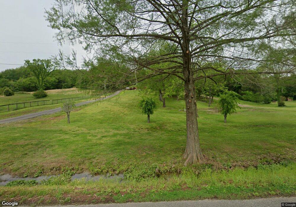
1079 Rip Steele Rd Columbia, TN 38401
--
Bed
2
Baths
3,696
Sq Ft
217,800
Sq Ft Lot
About This Home
This home is located at 1079 Rip Steele Rd, Columbia, TN 38401. 1079 Rip Steele Rd is a home located in Maury County with nearby schools including R. Howell Elementary School, E.A. Cox Middle School, and Spring Hill High School.
Create a Home Valuation Report for This Property
The Home Valuation Report is an in-depth analysis detailing your home's value as well as a comparison with similar homes in the area
Tax History
| Year | Tax Paid | Tax Assessment Tax Assessment Total Assessment is a certain percentage of the fair market value that is determined by local assessors to be the total taxable value of land and additions on the property. | Land | Improvement |
|---|---|---|---|---|
| 2022 | $1,912 | $100,125 | $31,450 | $68,675 |
Source: Public Records
Map
Nearby Homes
- 1106 Roseland Dr
- 0 Center Star Rd Unit RTC3171545
- 5 Center Star Rd
- 0 Center Star Rd Unit 1B
- 0 Center Star Rd Unit RTC2975030
- 0 Center Star Rd Unit 1A
- 0 Center Star Rd Unit 2
- 0 Center Star Rd Unit RTC2975047
- 0 Center Star Rd Unit RTC2975039
- 1141 John Sharp Rd
- 711 Cottage Dr
- 730 Cottage Dr
- 0 Tom Sharp Rd Unit RTC3164111
- 817 Mulberry Dr
- 601 Sheyes Cir
- 905 Aberdeen Ct
- 810 Rae Dr SE
- 1245 Cliff Amos Rd
- 664 Prominence Rd
- 0 Old Highway 99 Unit RTC2958557
- 1085 Rip Steele Rd
- 1103 Rip Steele Rd
- 1039 Rip Steele Rd
- 1107 Rip Steele Rd
- 1033 Rip Steele Rd
- 1106 Rip Steele Rd
- 1045 Rip Steele Rd
- 1040 Rip Steele Rd
- 1117 Rip Steele Rd
- 1082 Rip Steele Rd
- 1064 Rip Steele Rd
- 1086 Rip Steele Rd
- 1050 Rip Steele Rd
- 1127 Rip Steele Rd
- 1030 Rip Steele Rd
- 1019 Rip Steele Rd
- 1137 Rip Steele Rd
- 1049 Rip Steele Rd
- 1143 Rip Steele Rd
- 1169 Roseland Dr
Your Personal Tour Guide
Ask me questions while you tour the home.