Estimated Value: $384,000 - $534,000
4
Beds
3
Baths
2,748
Sq Ft
$174/Sq Ft
Est. Value
About This Home
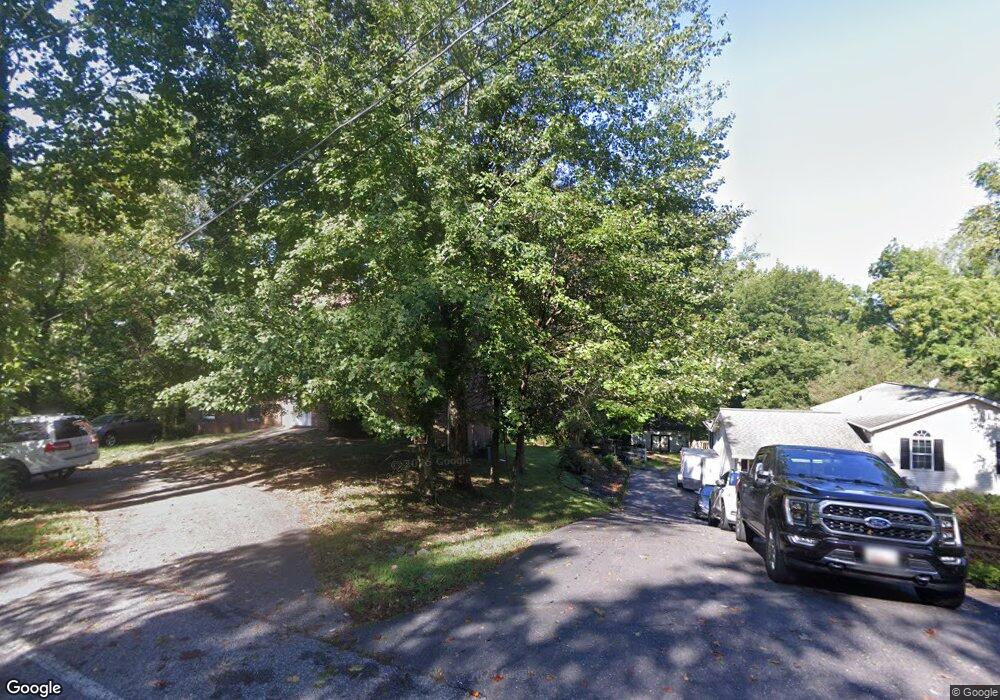
This home is located at 1079 White Sands Dr, Lusby, MD 20657 and is currently estimated at $478,695, approximately $174 per square foot. 1079 White Sands Dr is a home located in Calvert County with nearby schools including St Leonard Elementary School, Southern Middle School, and Calvert High School.
Ownership History
Date
Name
Owned For
Owner Type
Purchase Details
Closed on
Nov 19, 2024
Sold by
Melvin Home Management Inc
Bought by
Del Brown Elite Inc
Current Estimated Value
Home Financials for this Owner
Home Financials are based on the most recent Mortgage that was taken out on this home.
Original Mortgage
$202,662
Interest Rate
6.6%
Mortgage Type
New Conventional
Purchase Details
Closed on
Aug 1, 2007
Sold by
Brown Larry Patrick
Bought by
Melvin Home Management Inc
Purchase Details
Closed on
Oct 23, 2000
Sold by
Brown Melvin and Brown Virginia
Bought by
Brown Larry Patrick
Create a Home Valuation Report for This Property
The Home Valuation Report is an in-depth analysis detailing your home's value as well as a comparison with similar homes in the area
Home Values in the Area
Average Home Value in this Area
Purchase History
| Date | Buyer | Sale Price | Title Company |
|---|---|---|---|
| Del Brown Elite Inc | -- | Fidelity National Title | |
| Del Brown Elite Inc | -- | Fidelity National Title | |
| Melvin Home Management Inc | -- | -- | |
| Brown Larry Patrick | -- | -- |
Source: Public Records
Mortgage History
| Date | Status | Borrower | Loan Amount |
|---|---|---|---|
| Previous Owner | Del Brown Elite Inc | $202,662 |
Source: Public Records
Tax History Compared to Growth
Tax History
| Year | Tax Paid | Tax Assessment Tax Assessment Total Assessment is a certain percentage of the fair market value that is determined by local assessors to be the total taxable value of land and additions on the property. | Land | Improvement |
|---|---|---|---|---|
| 2025 | $4,356 | $413,933 | $0 | $0 |
| 2024 | $4,356 | $383,567 | $0 | $0 |
| 2023 | $3,884 | $353,200 | $78,500 | $274,700 |
| 2022 | $3,725 | $338,200 | $0 | $0 |
| 2021 | $3,423 | $323,200 | $0 | $0 |
| 2020 | $3,423 | $308,200 | $78,500 | $229,700 |
| 2019 | $3,286 | $294,000 | $0 | $0 |
| 2018 | $3,124 | $279,800 | $0 | $0 |
| 2017 | $3,012 | $265,600 | $0 | $0 |
| 2016 | -- | $265,600 | $0 | $0 |
| 2015 | $3,247 | $265,600 | $0 | $0 |
| 2014 | $3,247 | $268,600 | $0 | $0 |
Source: Public Records
Map
Nearby Homes
- 1247 White Sands Dr
- 8413 Manor View Rd
- 8406 Manor View Rd
- 8202 Sycamore Rd
- 8310 Circle Dr
- 8248 Power Dr
- 8254 Power Dr
- 709 Spruce Dr
- 7933 Orange Dr
- 580 Evergreen Ct
- 572 Evergreen Ct
- 8225 Cedar Ln
- 8533 Pine Blvd
- 8520 Pine Blvd
- 528 Skyview Dr
- 8465 Pine Blvd
- 8449 Pine Blvd
- 8453 Pine Blvd
- 7421 Stone Ct
- 7825 Schooner Dr
- 1089 White Sands Dr
- 1065 White Sands Dr
- 1084 White Sands Dr
- 1064 White Sands Dr
- 1055 White Sands Dr
- 1095 White Sands Dr
- 1045 White Sands Dr
- 1290 White Sands Dr
- 1035 White Sands Dr
- 1275 White Sands Dr
- 1097 White Sands Dr
- 1278 White Sands Dr
- 1110 White Sands Dr
- 8515 White Sands Dr
- 1100 Stable Ln
- 1269 White Sands Dr
- 1040 White Sands Dr
- 1274 White Sands Dr
- 1004 White Sands Dr
- 995 White Sands Dr