108 Harper Ln Westmoreland, TN 37186
Estimated Value: $63,000 - $205,000
--
Bed
2
Baths
1,680
Sq Ft
$89/Sq Ft
Est. Value
About This Home
This home is located at 108 Harper Ln, Westmoreland, TN 37186 and is currently estimated at $150,000, approximately $89 per square foot. 108 Harper Ln is a home located in Macon County.
Ownership History
Date
Name
Owned For
Owner Type
Purchase Details
Closed on
Sep 26, 2024
Sold by
Powers Robert E
Bought by
Guffey Pamela
Current Estimated Value
Home Financials for this Owner
Home Financials are based on the most recent Mortgage that was taken out on this home.
Original Mortgage
$28,000
Outstanding Balance
$27,713
Interest Rate
6.49%
Mortgage Type
New Conventional
Estimated Equity
$122,287
Purchase Details
Closed on
Feb 28, 2006
Sold by
Stidham Robert L
Bought by
Powers Robert E
Purchase Details
Closed on
Sep 8, 2003
Sold by
Greenpoint Credit
Bought by
Stidham Robert L
Purchase Details
Closed on
May 27, 2003
Sold by
Bair Donald J
Bought by
Greenpoint Credit
Purchase Details
Closed on
May 20, 2003
Bought by
Green Point Credit Llc Atlanta D M C
Purchase Details
Closed on
Nov 5, 1999
Sold by
Bobby Ward
Bought by
Bair and Sarah
Create a Home Valuation Report for This Property
The Home Valuation Report is an in-depth analysis detailing your home's value as well as a comparison with similar homes in the area
Home Values in the Area
Average Home Value in this Area
Purchase History
| Date | Buyer | Sale Price | Title Company |
|---|---|---|---|
| Guffey Pamela | $60,000 | Benchmark Title Company | |
| Powers Robert E | $49,000 | -- | |
| Stidham Robert L | $31,000 | -- | |
| Greenpoint Credit | $55,681 | -- | |
| Green Point Credit Llc Atlanta D M C | $55,700 | -- | |
| Bair | $11,000 | -- |
Source: Public Records
Mortgage History
| Date | Status | Borrower | Loan Amount |
|---|---|---|---|
| Open | Guffey Pamela | $28,000 |
Source: Public Records
Tax History Compared to Growth
Tax History
| Year | Tax Paid | Tax Assessment Tax Assessment Total Assessment is a certain percentage of the fair market value that is determined by local assessors to be the total taxable value of land and additions on the property. | Land | Improvement |
|---|---|---|---|---|
| 2024 | $550 | $38,925 | $6,525 | $32,400 |
| 2023 | $550 | $38,925 | $0 | $0 |
| 2022 | $433 | $18,050 | $3,450 | $14,600 |
| 2021 | $433 | $18,050 | $3,450 | $14,600 |
| 2020 | $433 | $18,050 | $3,450 | $14,600 |
| 2019 | $433 | $18,050 | $3,450 | $14,600 |
| 2018 | $399 | $18,050 | $3,450 | $14,600 |
| 2017 | $437 | $17,350 | $3,350 | $14,000 |
| 2016 | $416 | $17,350 | $3,350 | $14,000 |
| 2015 | $416 | $17,350 | $3,350 | $14,000 |
| 2014 | $417 | $17,368 | $0 | $0 |
Source: Public Records
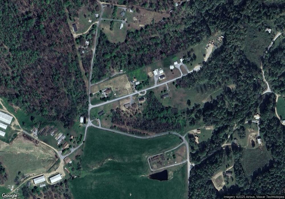
Map
Nearby Homes
- 2134 Shrum Cemetery Rd
- 2166 Shrum Cemetery Rd
- 2192 Shrum Cemetery Rd
- 1733 Wixtown Rd
- 1701 Wixtown Rd
- 397 Lauren Ln
- 177 Lauren Ln
- 2838 Wixtown Rd
- 779 Oakdale Rd
- 2486 Oakdale Rd
- 98 Andrea Ln
- 2590 Oakdale Rd
- 2134 Oakdale Rd
- 8141 Old Highway 52
- 0 Highway 52 W Unit RTC2944821
- 0 Annie Hollow Rd
- 10 Annie Hollow Rd
- 7 Annie Hollow Rd
- 5 Annie Hollow Rd
- 3290 Rocky Mound Rd
- 103 Harper Ln
- 2 Harper Ln
- 150 Harper Ln
- 151 Harper Ln
- 47 Harper Ln
- 1666 Shrum Cemetery Rd
- 1784 Shrum Cemetery Rd
- 187 Harper Ln
- 4 Shrum Cemetery Rd
- 3 Shrum Cemetery Rd
- 2 Shrum Cemetery Rd
- 5 Shrum Cemetery Rd
- 1 Shrum Cemetery Rd
- 225 Harper Ln
- 1934 Shrum Cemetery Rd
- 1697 Shrum Cemetery Rd
- 1895 Shrum Cemetery Rd
- 539 Jones Hollow Rd
- 575 Jones Hollow Rd
- 431 Jones Hollow Rd