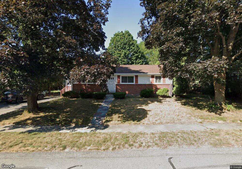
108 Nardone Rd Needham, MA 02492
Estimated Value: $1,004,000 - $1,360,302
3
Beds
2
Baths
1,084
Sq Ft
$1,051/Sq Ft
Est. Value
About This Home
This home is located at 108 Nardone Rd, Needham, MA 02492 and is currently estimated at $1,138,826, approximately $1,050 per square foot. 108 Nardone Rd is a home located in Norfolk County with nearby schools including Sunita L. Williams Elementary School, High Rock Middle School, and Pollard Middle School.
Ownership History
Date
Name
Owned For
Owner Type
Purchase Details
Closed on
Apr 7, 2025
Sold by
Zelman Aleksandr F and Zelman Ida R
Bought by
A F & Ida R Zelman Ft and Zelman
Current Estimated Value
Purchase Details
Closed on
May 11, 2001
Sold by
Kamenetsky Alex and Kamenetsky Irina
Bought by
Zelman Aleksandr F and Zelman Ida R
Purchase Details
Closed on
Aug 6, 1992
Sold by
Gilvey Tr Cecelia R
Bought by
Kamenetsky Alex and Kamenetsky Trina
Create a Home Valuation Report for This Property
The Home Valuation Report is an in-depth analysis detailing your home's value as well as a comparison with similar homes in the area
Home Values in the Area
Average Home Value in this Area
Purchase History
| Date | Buyer | Sale Price | Title Company |
|---|---|---|---|
| A F & Ida R Zelman Ft | -- | None Available | |
| Zelman Aleksandr F | $350,000 | -- | |
| Kamenetsky Alex | $192,500 | -- | |
| Kamenetsky Alex | $192,500 | -- |
Source: Public Records
Mortgage History
| Date | Status | Borrower | Loan Amount |
|---|---|---|---|
| Previous Owner | Kamenetsky Alex | $100,000 | |
| Previous Owner | Kamenetsky Alex | $200,000 |
Source: Public Records
Tax History
| Year | Tax Paid | Tax Assessment Tax Assessment Total Assessment is a certain percentage of the fair market value that is determined by local assessors to be the total taxable value of land and additions on the property. | Land | Improvement |
|---|---|---|---|---|
| 2025 | $10,518 | $992,300 | $746,700 | $245,600 |
| 2024 | $7,785 | $621,800 | $421,000 | $200,800 |
| 2023 | $7,896 | $605,500 | $421,000 | $184,500 |
| 2022 | $7,419 | $554,900 | $379,700 | $175,200 |
| 2021 | $7,230 | $554,900 | $379,700 | $175,200 |
| 2020 | $6,201 | $496,500 | $379,700 | $116,800 |
| 2019 | $5,696 | $459,700 | $345,500 | $114,200 |
| 2018 | $5,461 | $459,700 | $345,500 | $114,200 |
| 2017 | $5,302 | $445,900 | $345,500 | $100,400 |
| 2016 | $5,146 | $445,900 | $345,500 | $100,400 |
| 2015 | $5,034 | $445,900 | $345,500 | $100,400 |
| 2014 | $4,779 | $410,600 | $314,400 | $96,200 |
Source: Public Records
Map
Nearby Homes
- 102 Jarvis Cir Unit 102
- 81 Parish Rd
- 36 Eliot Rd
- 3 Hancock Rd
- 34 Pershing Rd
- 52 Hancock Rd
- 100 Rosemary Way Unit 129
- 447 Hillside Ave
- 3 Crescent Rd
- 385 Hillside Ave
- 385 Hillside Ave Unit 385
- 379 Hunnewell St Unit 379
- 19 Mason Rd
- 58 Morton St
- 140 Hillside Ave
- 140 Hillside Ave Unit a
- 15 Mackintosh Ave
- 12 Hill St
- 134 Hillside Ave Unit 134
- 132 Hillside Ave
- 116 Nardone Rd
- 97 Jarvis Cir
- 89 Jarvis Cir
- 131 Jarvis Cir
- 139 Jarvis Cir
- 139 Jarvis Cir Unit 1
- 103 Jarvis Cir
- 103 Nardone Rd
- 109 Nardone Rd
- 149 Jarvis Cir
- 149 Jarvis Cir Unit 1
- 73 Jarvis Cir
- 115 Nardone Rd
- 71 Jarvis Cir
- 123 Jarvis Cir
- 121 Nardone Rd
- 163 Jarvis Cir
- 84 Nardone Rd
- 90 Jarvis Cir
- 94 Jarvis Cir
Your Personal Tour Guide
Ask me questions while you tour the home.