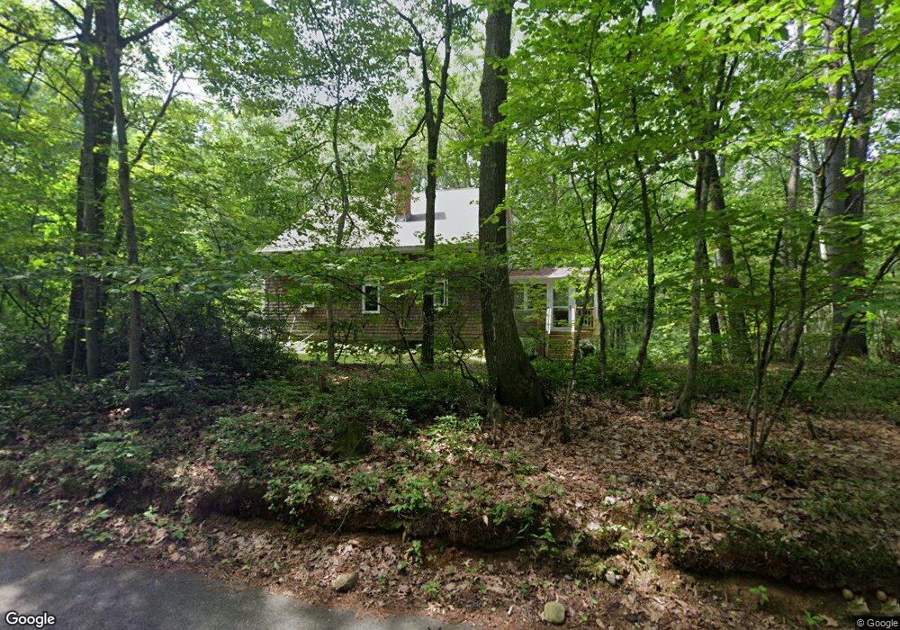
108 Ripley Rd Montague, MA 01351
Estimated Value: $380,000 - $460,000
3
Beds
1
Bath
1,421
Sq Ft
$292/Sq Ft
Est. Value
About This Home
This home is located at 108 Ripley Rd, Montague, MA 01351 and is currently estimated at $415,187, approximately $292 per square foot. 108 Ripley Rd is a home located in Franklin County.
Ownership History
Date
Name
Owned For
Owner Type
Purchase Details
Closed on
Apr 10, 2024
Sold by
Malachowski Edward J and Malachowski Margot G
Bought by
Malachowski Int and Malachowski M
Current Estimated Value
Purchase Details
Closed on
May 26, 2009
Sold by
Malachowski Margot G and Gilfeather Margot
Bought by
Malachowski Margot G and Malachowski Edward J
Create a Home Valuation Report for This Property
The Home Valuation Report is an in-depth analysis detailing your home's value as well as a comparison with similar homes in the area
Home Values in the Area
Average Home Value in this Area
Purchase History
| Date | Buyer | Sale Price | Title Company |
|---|---|---|---|
| Malachowski Int | -- | None Available | |
| Malachowski Int | -- | None Available | |
| Malachowski Int | -- | None Available | |
| Malachowski Margot G | -- | -- | |
| Malachowski Margot G | -- | -- |
Source: Public Records
Mortgage History
| Date | Status | Borrower | Loan Amount |
|---|---|---|---|
| Previous Owner | Malachowski Margot G | $130,400 | |
| Previous Owner | Malachowski Margot G | $10,000 |
Source: Public Records
Tax History Compared to Growth
Tax History
| Year | Tax Paid | Tax Assessment Tax Assessment Total Assessment is a certain percentage of the fair market value that is determined by local assessors to be the total taxable value of land and additions on the property. | Land | Improvement |
|---|---|---|---|---|
| 2025 | $4,414 | $290,200 | $82,800 | $207,400 |
| 2024 | $4,275 | $272,300 | $82,800 | $189,500 |
| 2023 | $4,191 | $267,800 | $82,800 | $185,000 |
| 2022 | $4,118 | $245,700 | $82,800 | $162,900 |
| 2021 | $4,186 | $240,000 | $77,600 | $162,400 |
| 2020 | $3,904 | $222,200 | $77,600 | $144,600 |
| 2019 | $3,763 | $219,700 | $81,200 | $138,500 |
| 2018 | $3,736 | $218,600 | $81,200 | $137,400 |
| 2017 | $3,644 | $218,600 | $81,200 | $137,400 |
| 2016 | $3,869 | $219,700 | $85,100 | $134,600 |
| 2015 | $3,726 | $219,700 | $85,100 | $134,600 |
| 2014 | $3,590 | $219,700 | $85,100 | $134,600 |
Source: Public Records
Map
Nearby Homes
- 39 N Leverett Rd
- 35 A N Leverett Rd
- 2 Gunn Rd
- 2 Gunn Rd
- 495 Federal St Unit B
- 10 Hannabrooke Dr
- 64 Main St
- 132 Meadow Rd
- 134 Montague Rd
- 0 Dudleyville Rd
- 0 Pocumtuck Dr Unit 73379330
- 259 Long Plain Rd
- 7 Stage Rd
- 238 N Main St
- 55 Putney Rd
- 133 Lakeview Rd
- 36 Merrill Dr
- 8 Craig Ave
- 0 Shore Dr
- 15 Crescent St