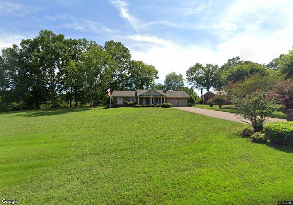
108 Riverside Dr Linden, TN 37096
Estimated Value: $201,000 - $395,000
--
Bed
2
Baths
2,180
Sq Ft
$140/Sq Ft
Est. Value
About This Home
This home is located at 108 Riverside Dr, Linden, TN 37096 and is currently estimated at $304,710, approximately $139 per square foot. 108 Riverside Dr is a home located in Perry County.
Ownership History
Date
Name
Owned For
Owner Type
Purchase Details
Closed on
Nov 15, 2023
Sold by
Wade Rex and Wade Susan
Bought by
Heath Randy and Heath Terri
Current Estimated Value
Home Financials for this Owner
Home Financials are based on the most recent Mortgage that was taken out on this home.
Original Mortgage
$54,516
Outstanding Balance
$35,982
Interest Rate
7.49%
Mortgage Type
Seller Take Back
Estimated Equity
$268,728
Purchase Details
Closed on
May 10, 2021
Sold by
Horner Sharon T and Tatum Sammy D
Bought by
Wade Rex and Huffman Suan
Purchase Details
Closed on
Jan 10, 1964
Bought by
Steele Bobby J
Create a Home Valuation Report for This Property
The Home Valuation Report is an in-depth analysis detailing your home's value as well as a comparison with similar homes in the area
Home Values in the Area
Average Home Value in this Area
Purchase History
| Date | Buyer | Sale Price | Title Company |
|---|---|---|---|
| Heath Randy | $250,000 | Holder Law & Title | |
| Wade Rex | $223,000 | None Available | |
| Steele Bobby J | -- | -- |
Source: Public Records
Mortgage History
| Date | Status | Borrower | Loan Amount |
|---|---|---|---|
| Open | Heath Randy | $54,516 |
Source: Public Records
Tax History Compared to Growth
Tax History
| Year | Tax Paid | Tax Assessment Tax Assessment Total Assessment is a certain percentage of the fair market value that is determined by local assessors to be the total taxable value of land and additions on the property. | Land | Improvement |
|---|---|---|---|---|
| 2025 | $879 | $31,400 | $0 | $0 |
| 2024 | $879 | $31,400 | $4,500 | $26,900 |
| 2023 | $879 | $31,400 | $4,500 | $26,900 |
| 2022 | $879 | $31,400 | $4,500 | $26,900 |
| 2021 | $879 | $31,400 | $4,500 | $26,900 |
| 2020 | $721 | $31,400 | $4,500 | $26,900 |
| 2019 | $838 | $28,100 | $4,125 | $23,975 |
| 2018 | $838 | $28,100 | $4,125 | $23,975 |
| 2017 | $829 | $28,100 | $4,125 | $23,975 |
| 2016 | $829 | $28,100 | $4,125 | $23,975 |
| 2015 | $816 | $28,100 | $4,125 | $23,975 |
| 2014 | $816 | $28,100 | $4,125 | $23,975 |
| 2013 | $900 | $31,020 | $0 | $0 |
Source: Public Records
Map
Nearby Homes
- 218 Cedar Ave
- 122 Shelton St
- 130 Elm Ln
- 8072 Old Hohenwald Rd
- 5681 Old Hohenwald Rd
- 4439 Old Hohenwald Rd
- 7696 Old Hohenwald Rd
- 6004 Old Hohenwald Rd
- 5608 Old Hohenwald Rd
- 107 Possum Trot Ln
- 245 S Mill St
- 141 Maple St
- 0 Church St
- 0 Treadwell Prong Unit RTC2707562
- 628 Starlight Dr
- 8884 U S Highway 412
- Lot 4 Campers Ln
- Lot 8 Campers Ln
- Lot 5 Campers Ln
- Lot 6 Campers Ln
- 114 Riverside Dr
- 113 Riverside Dr
- 111 Riverside Dr
- 96 River Edge Ln
- 122 Riverside Dr
- 121 Riverside Dr
- 103 Hadley Cir
- 132 Riverside Dr
- 135 Riverside Dr
- 106 Hadley Cir
- 0 Hadley Cir Unit 1776009
- 1015 Squirrel Hollow Dr
- 977 Squirrel Hollow Dr
- 141 Riverside Dr
- 110 Hadley Cir
- 136 Riverside Dr
- 114 Hadley Cir
- 142 Riverside Dr
- 905 Squirrel Hollow Dr
- 134 Hadley Cir