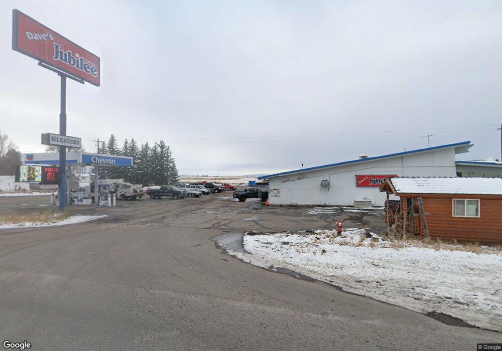
108 S Highway 20 Ashton, ID 83420
Estimated Value: $1,706,108
--
Bed
--
Bath
--
Sq Ft
1.37
Acres
About This Home
This home is located at 108 S Highway 20, Ashton, ID 83420 and is currently estimated at $1,706,108. 108 S Highway 20 is a home located in Fremont County with nearby schools including Ashton Elementary School and North Fremont Junior/Senior High School.
Ownership History
Date
Name
Owned For
Owner Type
Purchase Details
Closed on
May 12, 2022
Sold by
J J & J Inc
Bought by
Nam & Park Enterprise Inc
Current Estimated Value
Home Financials for this Owner
Home Financials are based on the most recent Mortgage that was taken out on this home.
Original Mortgage
$1,200,000
Outstanding Balance
$1,140,482
Interest Rate
5.3%
Mortgage Type
New Conventional
Estimated Equity
$565,626
Create a Home Valuation Report for This Property
The Home Valuation Report is an in-depth analysis detailing your home's value as well as a comparison with similar homes in the area
Home Values in the Area
Average Home Value in this Area
Purchase History
| Date | Buyer | Sale Price | Title Company |
|---|---|---|---|
| Nam & Park Enterprise Inc | -- | Alliance Title |
Source: Public Records
Mortgage History
| Date | Status | Borrower | Loan Amount |
|---|---|---|---|
| Open | Nam & Park Enterprise Inc | $1,200,000 |
Source: Public Records
Tax History Compared to Growth
Tax History
| Year | Tax Paid | Tax Assessment Tax Assessment Total Assessment is a certain percentage of the fair market value that is determined by local assessors to be the total taxable value of land and additions on the property. | Land | Improvement |
|---|---|---|---|---|
| 2025 | $13,502 | $1,006,315 | $75,700 | $930,615 |
| 2024 | $13,502 | $1,006,315 | $75,700 | $930,615 |
| 2023 | $13,502 | $789,172 | $75,700 | $713,472 |
| 2022 | $15,406 | $696,110 | $75,700 | $620,410 |
| 2021 | $15,267 | $536,005 | $58,289 | $477,716 |
| 2020 | $15,548 | $536,005 | $58,289 | $477,716 |
| 2019 | $15,374 | $536,005 | $58,289 | $477,716 |
| 2018 | $15,668 | $536,005 | $58,289 | $477,716 |
| 2017 | $11,371 | $536,005 | $58,289 | $477,716 |
| 2016 | $10,872 | $536,005 | $58,289 | $477,716 |
| 2015 | $11,103 | $536,005 | $0 | $0 |
| 2014 | $9,911 | $536,005 | $0 | $0 |
| 2013 | $9,911 | $536,005 | $0 | $0 |
Source: Public Records
Map
Nearby Homes
- L2 BLK 1 E 1300 Rd N
- 417 Main St
- 1189 N Sunflower Ln
- 511 Id-47
- 137 Spruce St
- 641 Fremont St
- 540 N 4th St Unit 4
- 540 N 4th St Unit 2
- 540 N 4th St Unit 3
- 885 Maple St
- 268 10th St
- LOTS 1-3 E 1300 Rd N
- 1413 U S 20
- 3660 E 1312 N
- TBD Annies Landing
- 1331 N 3687 E
- 3706 E 1300 Rd N
- 3660 E 1100 N
- 3656 Fishermans Dr
- TBD Fishermans Dr
- 108 U S 20
- 921 U S 20
- Tbd Hwy 20
- 120 S Highway 20 Hwy
- 3630 E 1300 Rd N
- 3300 E E 1300 Rd N
- 3415 E 1300 Rd N
- LOTS 1-4 E 1300 Rd N
- L4 BLK 1 E 1300 Rd N
- 57.12 Ac E 1300 Rd N
- 134 AC E 1300 Rd N
- 72 Acres E 1300 Rd N
- 1.60 E 1300 Rd N
- 71 Acres E 1300 Rd N
- 65 Acres E 1300 Rd N
- 63 Acres E 1300 Rd N
- 65.25 Ac E 1300 Rd N
- L3 E 1300 Rd N
- L2 E 1300 Rd N
- L1 E 1300 Rd N