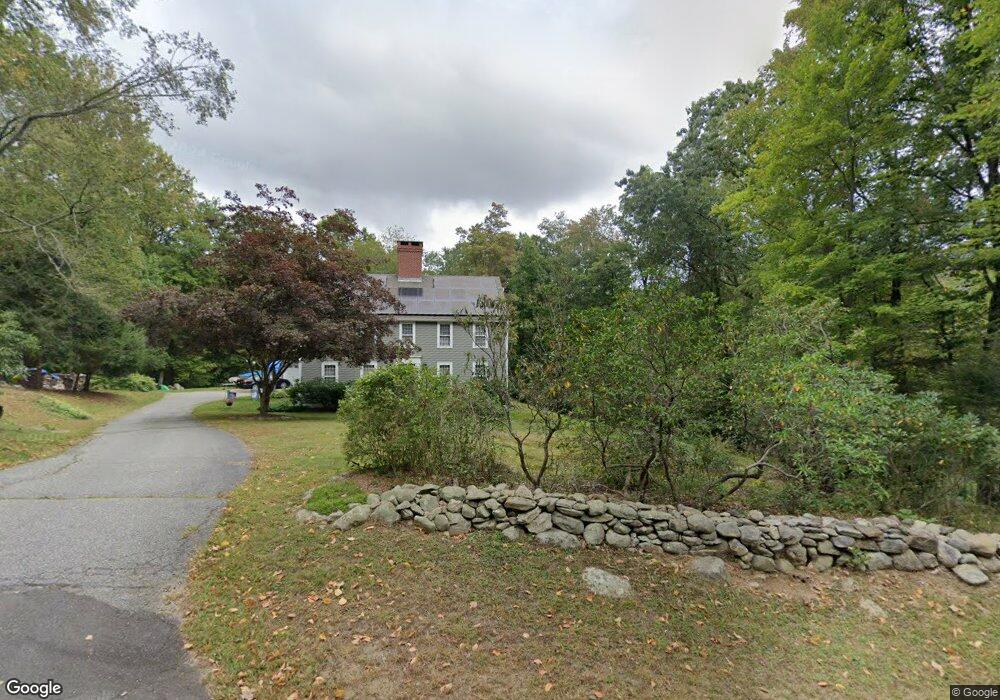
108 Timms Hill Rd Haddam, CT 06438
Estimated Value: $658,737 - $712,000
4
Beds
3
Baths
3,172
Sq Ft
$216/Sq Ft
Est. Value
About This Home
This home is located at 108 Timms Hill Rd, Haddam, CT 06438 and is currently estimated at $685,434, approximately $216 per square foot. 108 Timms Hill Rd is a home located in Middlesex County with nearby schools including Haddam-Killingworth High School.
Ownership History
Date
Name
Owned For
Owner Type
Purchase Details
Closed on
Mar 31, 2003
Sold by
Bogdan Gail M
Bought by
Macleod Kenneth S and Macleod Dawn I
Current Estimated Value
Home Financials for this Owner
Home Financials are based on the most recent Mortgage that was taken out on this home.
Original Mortgage
$292,000
Outstanding Balance
$126,914
Interest Rate
5.91%
Estimated Equity
$558,520
Create a Home Valuation Report for This Property
The Home Valuation Report is an in-depth analysis detailing your home's value as well as a comparison with similar homes in the area
Home Values in the Area
Average Home Value in this Area
Purchase History
| Date | Buyer | Sale Price | Title Company |
|---|---|---|---|
| Macleod Kenneth S | $365,000 | -- |
Source: Public Records
Mortgage History
| Date | Status | Borrower | Loan Amount |
|---|---|---|---|
| Open | Macleod Kenneth S | $96,175 | |
| Open | Macleod Kenneth S | $292,000 | |
| Previous Owner | Macleod Kenneth S | $22,500 |
Source: Public Records
Tax History Compared to Growth
Tax History
| Year | Tax Paid | Tax Assessment Tax Assessment Total Assessment is a certain percentage of the fair market value that is determined by local assessors to be the total taxable value of land and additions on the property. | Land | Improvement |
|---|---|---|---|---|
| 2025 | $9,790 | $285,020 | $87,960 | $197,060 |
| 2024 | $9,790 | $285,020 | $87,960 | $197,060 |
| 2023 | $9,654 | $285,020 | $87,960 | $197,060 |
| 2022 | $9,215 | $285,020 | $87,960 | $197,060 |
| 2021 | $9,166 | $285,020 | $87,960 | $197,060 |
| 2020 | $9,069 | $286,190 | $106,460 | $179,730 |
| 2019 | $9,069 | $286,190 | $106,460 | $179,730 |
| 2018 | $9,069 | $286,190 | $106,460 | $179,730 |
| 2017 | $9,069 | $286,190 | $106,460 | $179,730 |
| 2016 | $8,929 | $286,190 | $106,460 | $179,730 |
| 2015 | $9,619 | $308,290 | $106,460 | $201,830 |
| 2014 | $9,523 | $308,290 | $106,460 | $201,830 |
Source: Public Records
Map
Nearby Homes
- 0 Saybrook Rd
- 25 Island Dock Rd
- 0 Parmelee Rd
- 291 Injun Hollow Rd
- 195A Injun Hollow Rd
- 195 Injun Hollow Rd
- 16 Walkley Hill Rd
- 0 Walkley Hill Rd Unit 24088136
- 0 S Dish Mill Rd Unit 24082788
- 428 Plains Rd
- 40 & 42 Old Cart Rd
- 32 Maple Ave W
- 72 Dickinson Rd
- 86 Christian Hill Rd
- 50 Haddam Neck Rd
- 882 Killingworth Rd
- 1572 Saybrook Rd
- 279 Pokorny Rd
- 63 Burr Rd
- 28 Fieldstone Ln
- 112 Timms Hill Rd
- 84 Timms Hill Rd
- 120 Timms Hill Rd
- 130 Timms Hill Rd
- 30 Oak Ridge Place
- 28 Oak Ridge Place
- 85 Timms Hill Rd
- 00 Meeting House (Aka #~137) Rd
- 76 Timms Hill Rd
- 165 Meeting House Rd
- 22 Oak Ridge Place
- 129 Meeting House Rd
- 81 Meeting House Rd
- 83 Meeting House Rd
- 123 Meeting House Rd
- 23 Oak Ridge Place
- 75 Timms Hill Rd
- 111 Meeting House Rd
- 65 Oak Ridge Dr
- 93 Meeting House Rd