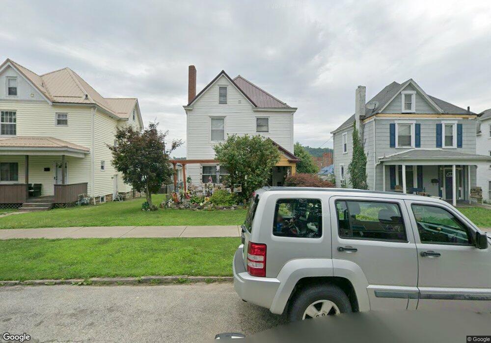
108 W Adams Ave Vandergrift, PA 15690
Estimated Value: $56,089 - $202,000
--
Bed
--
Bath
--
Sq Ft
3,964
Sq Ft Lot
About This Home
This home is located at 108 W Adams Ave, Vandergrift, PA 15690 and is currently estimated at $134,522. 108 W Adams Ave is a home located in Westmoreland County with nearby schools including Kiski Area High School.
Ownership History
Date
Name
Owned For
Owner Type
Purchase Details
Closed on
May 26, 2006
Sold by
Kester Hal W and Kester Helen M
Bought by
Fusillo Nadine L
Current Estimated Value
Home Financials for this Owner
Home Financials are based on the most recent Mortgage that was taken out on this home.
Original Mortgage
$67,500
Outstanding Balance
$44,796
Interest Rate
9%
Mortgage Type
Fannie Mae Freddie Mac
Estimated Equity
$89,726
Create a Home Valuation Report for This Property
The Home Valuation Report is an in-depth analysis detailing your home's value as well as a comparison with similar homes in the area
Home Values in the Area
Average Home Value in this Area
Purchase History
| Date | Buyer | Sale Price | Title Company |
|---|---|---|---|
| Fusillo Nadine L | $67,500 | None Available |
Source: Public Records
Mortgage History
| Date | Status | Borrower | Loan Amount |
|---|---|---|---|
| Open | Fusillo Nadine L | $67,500 |
Source: Public Records
Tax History Compared to Growth
Tax History
| Year | Tax Paid | Tax Assessment Tax Assessment Total Assessment is a certain percentage of the fair market value that is determined by local assessors to be the total taxable value of land and additions on the property. | Land | Improvement |
|---|---|---|---|---|
| 2025 | $2,077 | $12,730 | $2,720 | $10,010 |
| 2024 | $1,978 | $12,730 | $2,720 | $10,010 |
| 2023 | $1,821 | $12,730 | $2,720 | $10,010 |
| 2022 | $1,783 | $12,730 | $2,720 | $10,010 |
| 2021 | $1,783 | $12,730 | $2,720 | $10,010 |
| 2020 | $1,779 | $12,730 | $2,720 | $10,010 |
| 2019 | $1,773 | $12,730 | $2,720 | $10,010 |
| 2018 | $1,747 | $12,730 | $2,720 | $10,010 |
| 2017 | $1,709 | $12,730 | $2,720 | $10,010 |
| 2016 | $1,686 | $12,730 | $2,720 | $10,010 |
| 2015 | $1,686 | $12,730 | $2,720 | $10,010 |
| 2014 | $1,678 | $12,730 | $2,720 | $10,010 |
Source: Public Records
Map
Nearby Homes
- 404 1/2 Franklin Ave
- 311 Elm St
- 315 Spruce St
- 314 Linden St
- 112 Farragut Ave Unit 3
- 107 Sumner Ave
- 154 Jefferson Ave Unit 6
- 419 Vandergrift Ln
- 325 -1/2 Quay St
- 133 Sherman Ave
- 137 Sherman Ave
- 323 Sycamore St
- 121 Hamilton Ave
- 219 Quay St
- 517 Sycamore St
- 608 Kennedy Ave
- 716 Kennedy Ave
- 1252 Jefferson St
- 410 Longfellow St
- 533A Walnut St
- 106 W Adams Ave
- 112 W Adams Ave
- 102 W Adams Ave
- 131 Custer Ave
- 133 Custer Ave
- 114 W Adams Ave
- 129 Custer Ave
- 127 Custer Ave
- 137 Custer Ave
- 107 W Adams Ave
- 105 W Adams Ave
- 208 Hancock Ave
- 104 W Adams Ave
- 109 W Adams Ave
- 206 Hancock Ave
- 116 W Adams Ave
- 103 W Adams Ave
- 125 Custer Ave
- 139 Custer Ave
- 111 W Adams Ave