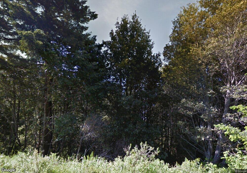
1080 Hillside Dr Shelter Cove, CA 95589
Shelter Cove NeighborhoodEstimated Value: $43,000 - $334,000
--
Bed
--
Bath
--
Sq Ft
0.34
Acres
About This Home
This home is located at 1080 Hillside Dr, Shelter Cove, CA 95589 and is currently estimated at $151,000. 1080 Hillside Dr is a home located in Humboldt County.
Ownership History
Date
Name
Owned For
Owner Type
Purchase Details
Closed on
Oct 7, 2022
Sold by
Oliveira Carlos A
Bought by
Jones Land Company Llc
Current Estimated Value
Purchase Details
Closed on
Jul 21, 2021
Sold by
West Central Land Llc
Bought by
Oliveira Carlos A
Purchase Details
Closed on
Sep 4, 2008
Sold by
Trappen Kenneth James
Bought by
Allen Randy and Allen Diana M
Purchase Details
Closed on
Nov 16, 2005
Sold by
Ayers Gay and Story Gay Marie
Bought by
Story Samuel D
Purchase Details
Closed on
Nov 5, 2005
Sold by
Trappen Denise
Bought by
Trappen Kenneth James
Create a Home Valuation Report for This Property
The Home Valuation Report is an in-depth analysis detailing your home's value as well as a comparison with similar homes in the area
Home Values in the Area
Average Home Value in this Area
Purchase History
| Date | Buyer | Sale Price | Title Company |
|---|---|---|---|
| Jones Land Company Llc | $2,000 | -- | |
| Oliveira Carlos A | $6,000 | None Listed On Document | |
| Allen Randy | $17,500 | First American Title Company | |
| Story Samuel D | -- | First American Title Ins Co | |
| Trappen Kenneth James | -- | First American Title Ins Co | |
| Trappen Kenneth James | $19,000 | First American Title Ins Co |
Source: Public Records
Tax History Compared to Growth
Tax History
| Year | Tax Paid | Tax Assessment Tax Assessment Total Assessment is a certain percentage of the fair market value that is determined by local assessors to be the total taxable value of land and additions on the property. | Land | Improvement |
|---|---|---|---|---|
| 2025 | $377 | $6,190 | $6,190 | -- |
| 2024 | $377 | $6,069 | $6,069 | -- |
| 2023 | $379 | $6,069 | $6,069 | $0 |
| 2022 | $357 | $4,121 | $4,121 | $0 |
| 2021 | $356 | $4,041 | $4,041 | $0 |
| 2020 | $538 | $20,600 | $20,600 | $0 |
| 2019 | $532 | $20,197 | $20,197 | $0 |
| 2018 | $528 | $19,801 | $19,801 | $0 |
| 2017 | $450 | $19,413 | $19,413 | $0 |
| 2016 | $449 | $19,033 | $19,033 | $0 |
| 2015 | $447 | $18,748 | $18,748 | $0 |
| 2014 | $435 | $18,381 | $18,381 | $0 |
Source: Public Records
Map
Nearby Homes
- 1246 Hillside Dr
- 42 Ranger Ct
- 26-29 Ranger Ct
- 200 Hemlock Rd
- 194 Ranger Ct
- 199 Ranger Ct
- 87 Ranger Ct
- 104 Ranger Ct
- 1294 Hillside Dr
- 69 Ranger Ct
- 131 Ranger Ct
- 220 Hemlock Rd
- 1143 Hillside Dr
- 246 Hemlock Rd
- 000 Ranger Ct
- 151 Hemlock Rd
- 1104 Blueridge Rd
- 1226 Blueridge Rd
- 144 Hemlock Rd
- 985 Hillside Dr
