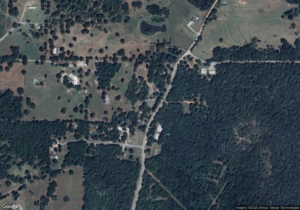
1080 Sherrill Dr Southside, AR 72501
Estimated Value: $245,732 - $281,000
3
Beds
3
Baths
1,793
Sq Ft
$145/Sq Ft
Est. Value
About This Home
This home is located at 1080 Sherrill Dr, Southside, AR 72501 and is currently estimated at $259,683, approximately $144 per square foot. 1080 Sherrill Dr is a home located in Independence County with nearby schools including Southside Elementary School, Southside Middle School, and Southside Junior High School.
Ownership History
Date
Name
Owned For
Owner Type
Purchase Details
Closed on
Sep 24, 2025
Sold by
Franks Joel and Franks June
Bought by
Joel And June Franks Family Trust
Current Estimated Value
Purchase Details
Closed on
Aug 27, 1998
Sold by
Not Provided
Bought by
Franks Joel W
Purchase Details
Closed on
Aug 29, 1997
Sold by
Not Provided
Bought by
Garren William D
Purchase Details
Closed on
Dec 18, 1995
Sold by
Roberts Tony
Bought by
Roberson Carson
Create a Home Valuation Report for This Property
The Home Valuation Report is an in-depth analysis detailing your home's value as well as a comparison with similar homes in the area
Home Values in the Area
Average Home Value in this Area
Purchase History
| Date | Buyer | Sale Price | Title Company |
|---|---|---|---|
| Joel And June Franks Family Trust | -- | None Listed On Document | |
| Franks Joel W | $91,000 | -- | |
| Garren William D | $79,000 | -- | |
| Roberson Carson | $7,000 | -- |
Source: Public Records
Tax History Compared to Growth
Tax History
| Year | Tax Paid | Tax Assessment Tax Assessment Total Assessment is a certain percentage of the fair market value that is determined by local assessors to be the total taxable value of land and additions on the property. | Land | Improvement |
|---|---|---|---|---|
| 2024 | $1,180 | $30,140 | $1,540 | $28,600 |
| 2023 | $1,191 | $30,140 | $1,540 | $28,600 |
| 2022 | $882 | $22,250 | $1,540 | $20,710 |
| 2021 | $882 | $22,250 | $1,540 | $20,710 |
| 2020 | $774 | $22,250 | $1,540 | $20,710 |
| 2019 | $658 | $21,160 | $1,150 | $20,010 |
| 2018 | $683 | $21,160 | $1,150 | $20,010 |
| 2017 | $683 | $21,160 | $1,150 | $20,010 |
Source: Public Records
Map
Nearby Homes
- 60 Boulder Dr
- 405 Lumpkin Dr
- 1583 Batesville Blvd
- 416 Pepsi Cola Rd
- 1315 Batesville Blvd
- 45 Eagle Ridge Rd
- 80 Eagle Ridge Rd
- 35 Eagle Ridge Rd
- 30 Eagle Ridge Rd
- 0 Eagle Ridge Rd
- 10 Eagle Ridge Rd
- 55 Eagle Ridge Rd
- 1940 Mountain Ridge Rd
- 0 Mountain Ridge Rd Unit 25024720
- 0 Mountain Ridge Rd
- 0 Mountain Ridge Rd Unit 25-536
- 0 Mountain Ridge Rd Unit 25024711
- 0 Mountain Ridge Rd Unit 25029186
- 0 Mountain Ridge Rd Unit 25029197
- 0 Mountain Ridge Rd Unit 25-370
- 1030 Sherrill Dr
- 1050 Sherrill Dr
- 1070 Sherrill Dr
- 0 Vaughn Ln Unit 19-553
- 1081 Sherrill Dr
- 949 Sherrill Dr
- 1090 Sherrill Dr
- 1107 Sherrill Dr
- 1108 Sherrill Dr
- 20 Richardson Rd
- 1111 Sherrill Dr
- 1020 Sherrill Dr
- 40 Richardson Rd
- 19 Richardson Rd
- 130 Williford Rd
- 51 Richardson Rd
- 81 Richardson Rd
- 230 Williford Rd
- 77 Richardson Rd
- 189 Williford Rd
