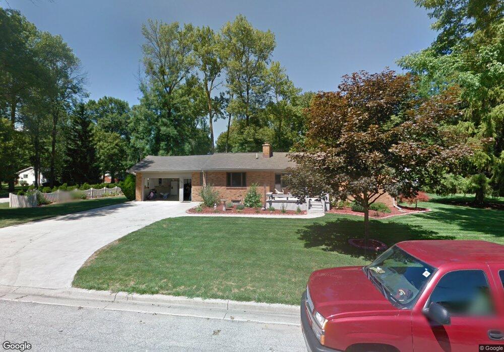
1080 Stanley Rd Auburn, MI 48611
Estimated Value: $234,000 - $285,000
--
Bed
1
Bath
1,632
Sq Ft
$155/Sq Ft
Est. Value
About This Home
This home is located at 1080 Stanley Rd, Auburn, MI 48611 and is currently estimated at $253,593, approximately $155 per square foot. 1080 Stanley Rd is a home located in Bay County with nearby schools including Thrasher Attendance Center, Auburn Elementary School, and Western Middle School.
Ownership History
Date
Name
Owned For
Owner Type
Purchase Details
Closed on
Aug 16, 2012
Sold by
Horneber Pamela
Bought by
Horneber Pamela and Maclauchlan John
Current Estimated Value
Home Financials for this Owner
Home Financials are based on the most recent Mortgage that was taken out on this home.
Original Mortgage
$80,000
Interest Rate
3.54%
Mortgage Type
New Conventional
Create a Home Valuation Report for This Property
The Home Valuation Report is an in-depth analysis detailing your home's value as well as a comparison with similar homes in the area
Home Values in the Area
Average Home Value in this Area
Purchase History
| Date | Buyer | Sale Price | Title Company |
|---|---|---|---|
| Horneber Pamela | -- | First American Title Ins Co |
Source: Public Records
Mortgage History
| Date | Status | Borrower | Loan Amount |
|---|---|---|---|
| Closed | Horneber Pamela | $80,000 |
Source: Public Records
Tax History Compared to Growth
Tax History
| Year | Tax Paid | Tax Assessment Tax Assessment Total Assessment is a certain percentage of the fair market value that is determined by local assessors to be the total taxable value of land and additions on the property. | Land | Improvement |
|---|---|---|---|---|
| 2025 | $2,827 | $107,000 | $0 | $0 |
| 2024 | $1,474 | $102,950 | $0 | $0 |
| 2023 | $1,403 | $94,050 | $0 | $0 |
| 2022 | $2,567 | $84,900 | $0 | $0 |
| 2021 | $2,380 | $79,350 | $79,350 | $0 |
| 2020 | $2,208 | $79,100 | $79,100 | $0 |
| 2019 | $2,128 | $67,200 | $0 | $0 |
| 2018 | $2,036 | $63,250 | $0 | $0 |
| 2017 | $1,941 | $66,600 | $0 | $0 |
| 2016 | $1,946 | $70,600 | $0 | $70,600 |
| 2015 | -- | $70,600 | $0 | $70,600 |
| 2014 | -- | $70,600 | $0 | $70,600 |
Source: Public Records
Map
Nearby Homes
- 4760 Putt Ln
- 4648 Meadow Ct
- 305 Renshar Dr
- 0 W North Union Rd Unit 50166876
- 319 Price St
- 0 Court St
- 1365 W North Union Rd
- 1598 Fisherville Ct
- 1587 Fisherville Ct
- 0 S Auburn Rd
- 544 W North Union Rd
- 267 W Midland Rd
- 4649 Stephanie Ct
- 4806 Northridge
- 1954 W Midland Rd
- 2011 Prairie Point Dr
- 5749 11 Mile Rd
- Parcel 175 Joan Dr
- 0 W Midland Rd Unit 50189337
- 0 W Midland Rd Unit 50152278
- 1085 Stanley Rd
- 1071 Stanley Rd
- 4857 Monica St
- 1060 Stanley Rd
- 1089 Stanley Rd
- 1055 Stanley Rd
- 4842 Franklin St
- 4855 Monica St
- 1090 Stanley Rd
- 4876 Monica St
- 4832 Franklin St
- 1045 Stanley Rd
- 1091 Stanley Rd
- 1074 Eddie Dr
- 1064 Eddie Dr
- 4868 Monica St
- 1084 Eddie Dr
- 1054 Eddie Dr
- 1088 Eddie Dr
- 1132 Stanley Rd