10800 Butternut Rd Chesterland, OH 44026
Estimated Value: $473,000 - $657,000
5
Beds
5
Baths
4,304
Sq Ft
$135/Sq Ft
Est. Value
About This Home
This home is located at 10800 Butternut Rd, Chesterland, OH 44026 and is currently estimated at $582,280, approximately $135 per square foot. 10800 Butternut Rd is a home located in Geauga County with nearby schools including Chardon High School and Notre Dame Elementary School.
Ownership History
Date
Name
Owned For
Owner Type
Purchase Details
Closed on
Jun 29, 1999
Sold by
Kleis Richard J and Kleis Donna M
Bought by
King Laurence C and King Safinaz T
Current Estimated Value
Home Financials for this Owner
Home Financials are based on the most recent Mortgage that was taken out on this home.
Original Mortgage
$208,000
Outstanding Balance
$57,021
Interest Rate
7.29%
Estimated Equity
$525,259
Purchase Details
Closed on
Jan 1, 1990
Bought by
Kleis Richard J
Create a Home Valuation Report for This Property
The Home Valuation Report is an in-depth analysis detailing your home's value as well as a comparison with similar homes in the area
Home Values in the Area
Average Home Value in this Area
Purchase History
| Date | Buyer | Sale Price | Title Company |
|---|---|---|---|
| King Laurence C | $260,000 | Lawyers Title Ins Corp | |
| Kleis Richard J | -- | -- |
Source: Public Records
Mortgage History
| Date | Status | Borrower | Loan Amount |
|---|---|---|---|
| Open | King Laurence C | $208,000 | |
| Closed | King Laurence C | $26,000 |
Source: Public Records
Tax History Compared to Growth
Tax History
| Year | Tax Paid | Tax Assessment Tax Assessment Total Assessment is a certain percentage of the fair market value that is determined by local assessors to be the total taxable value of land and additions on the property. | Land | Improvement |
|---|---|---|---|---|
| 2024 | $9,641 | $197,120 | $26,280 | $170,840 |
| 2023 | $9,641 | $197,230 | $26,390 | $170,840 |
| 2022 | $8,742 | $153,580 | $21,910 | $131,670 |
| 2021 | $8,703 | $153,580 | $21,910 | $131,670 |
| 2020 | $8,768 | $153,580 | $21,910 | $131,670 |
| 2019 | $7,836 | $135,420 | $21,910 | $113,510 |
| 2018 | $8,366 | $135,420 | $21,910 | $113,510 |
| 2017 | $7,836 | $135,420 | $21,910 | $113,510 |
| 2016 | $7,924 | $133,600 | $21,910 | $111,690 |
| 2015 | $7,033 | $126,070 | $21,910 | $104,160 |
| 2014 | $7,033 | $126,070 | $21,910 | $104,160 |
| 2013 | $7,079 | $126,070 | $21,910 | $104,160 |
Source: Public Records
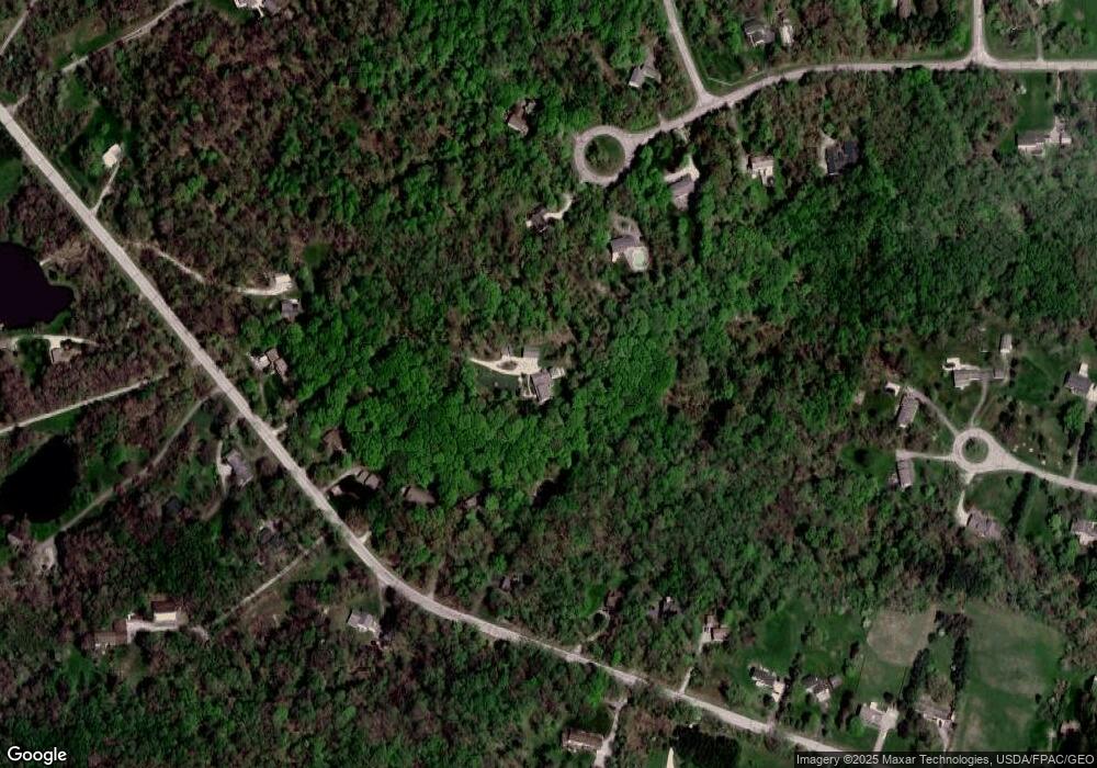
Map
Nearby Homes
- 13190 N Bridle Trail
- 13410 Auburn Rd
- 13228 Boulder Glen Dr
- 13559 Auburn Rd
- 11155 Butternut Rd
- S/L 19 Sutton Place
- 13044 Coachman Dr
- 11375 Bean Rd
- 10263 Wye Rd
- 10571 Mayfield Rd
- 11100 Pekin Rd
- 11710 Butternut Rd
- 11235 Pekin Rd
- 12386 Auburn Rd
- 11700 Pekin Rd
- 14646 Dora Dr
- 14255 Bass Lake Rd
- 14380 Bass Lake Rd
- 13655 Sperry Rd
- 12790 Heath Rd
- 10854 Butternut Rd
- 10889 Bridle Trail
- 10886 Butternut Rd
- 10840 Butternut Rd
- 10824 Butternut Rd
- 10875 Bridle Trail
- 10814 Butternut Rd
- 10894 Butternut Rd
- 10901 Bridle Trail
- 10906 Butternut Rd
- 10804 Butternut Rd
- 10920 Butternut Rd
- 10923 Bridle Trail
- 10880 Bridle Trail
- 10960 Glenwood Dr
- 10955 Glenwood Dr
- 10766 Butternut Rd
- 10794 Butternut Rd
- 10823 Butternut Rd
- 10898 Bridle Trail