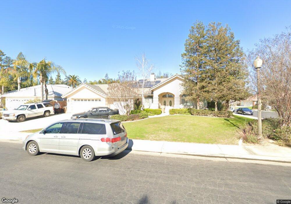
10800 Harpenden Ave Bakersfield, CA 93311
Seven Oaks NeighborhoodEstimated Value: $600,000 - $692,000
4
Beds
3
Baths
2,839
Sq Ft
$226/Sq Ft
Est. Value
About This Home
This home is located at 10800 Harpenden Ave, Bakersfield, CA 93311 and is currently estimated at $641,589, approximately $225 per square foot. 10800 Harpenden Ave is a home located in Kern County with nearby schools including Ronald Reagan Elementary School, Earl Warren Junior High School, and Stockdale High School.
Ownership History
Date
Name
Owned For
Owner Type
Purchase Details
Closed on
Mar 18, 1997
Sold by
J L Dandy & Company
Bought by
Marshall David R and Anderson Elizabeth J
Current Estimated Value
Home Financials for this Owner
Home Financials are based on the most recent Mortgage that was taken out on this home.
Original Mortgage
$214,600
Interest Rate
7.42%
Create a Home Valuation Report for This Property
The Home Valuation Report is an in-depth analysis detailing your home's value as well as a comparison with similar homes in the area
Home Values in the Area
Average Home Value in this Area
Purchase History
| Date | Buyer | Sale Price | Title Company |
|---|---|---|---|
| Marshall David R | $240,000 | Commonwealth Land Title Co |
Source: Public Records
Mortgage History
| Date | Status | Borrower | Loan Amount |
|---|---|---|---|
| Previous Owner | Marshall David R | $214,600 |
Source: Public Records
Tax History Compared to Growth
Tax History
| Year | Tax Paid | Tax Assessment Tax Assessment Total Assessment is a certain percentage of the fair market value that is determined by local assessors to be the total taxable value of land and additions on the property. | Land | Improvement |
|---|---|---|---|---|
| 2025 | $5,740 | $418,435 | $103,774 | $314,661 |
| 2024 | $5,666 | $410,233 | $101,740 | $308,493 |
| 2023 | $5,666 | $402,191 | $99,746 | $302,445 |
| 2022 | $5,451 | $394,307 | $97,791 | $296,516 |
| 2021 | $5,310 | $386,578 | $95,874 | $290,704 |
| 2020 | $5,240 | $382,616 | $94,891 | $287,725 |
| 2019 | $5,208 | $382,616 | $94,891 | $287,725 |
| 2018 | $4,925 | $367,762 | $91,207 | $276,555 |
| 2017 | $4,818 | $360,553 | $89,419 | $271,134 |
| 2016 | $4,492 | $353,486 | $87,666 | $265,820 |
| 2015 | $4,458 | $348,179 | $86,350 | $261,829 |
| 2014 | $4,353 | $341,360 | $84,659 | $256,701 |
Source: Public Records
Map
Nearby Homes
- 1001 Sungro Way
- 10904 Rockridge Way
- 1103 Carpenter Ct
- 10409 Within Heights Dr
- 10506 Mersham Hill Dr
- 10505 Finchley Dr
- 631 Faversham Way
- 11224 Bright Water Way
- 10304 Camino Media
- 10309 Loughton Ave
- 1500 Wedgewood Dr
- 10315 Dorchester St
- 11009 Danecroft Way
- 1304 Torulosa Dr
- 11415 White River Dr
- 1715 Norwich Way
- 11505 Orchard Park Dr
- 11526 Privet Place
- 1806 Wedgemont Place
- 1118 Bluestone River Way
- 10804 Harpenden Ave
- 1001 Bourne St
- 10714 Harpenden Ave
- 10808 Harpenden Ave
- 10710 Harpenden Ave
- 1004 Bourne St
- 1103 Beckenham Pkwy
- 10706 Harpenden Ave
- 1107 Beckenham Pkwy
- 10702 Harpenden Ave
- 10605 Within Heights Dr
- 10609 Within Heights Dr
- 1111 Beckenham Pkwy
- 1006 Sungro Way
- 10902 Rosslyn Ln
- 10615 Within Heights Dr
- 1102 Sungro Way
- 1110 Sungro Way
- 10616 Harpenden Ave
- 1114 Sungro Way