10804 Woodland Ave NE Albuquerque, NM 87112
Matheson Park NeighborhoodEstimated Value: $220,929 - $253,000
--
Bed
--
Bath
1,018
Sq Ft
$233/Sq Ft
Est. Value
About This Home
This home is located at 10804 Woodland Ave NE, Albuquerque, NM 87112 and is currently estimated at $237,482, approximately $233 per square foot. 10804 Woodland Ave NE is a home located in Bernalillo County with nearby schools including Eldorado High School, Matheson Park Elementary School, and Hoover Middle School.
Ownership History
Date
Name
Owned For
Owner Type
Purchase Details
Closed on
Feb 9, 1999
Sold by
Ahrens Wes D and Ahrens Wesley D
Bought by
Ahrens Wesley D
Current Estimated Value
Home Financials for this Owner
Home Financials are based on the most recent Mortgage that was taken out on this home.
Original Mortgage
$60,000
Interest Rate
6.83%
Create a Home Valuation Report for This Property
The Home Valuation Report is an in-depth analysis detailing your home's value as well as a comparison with similar homes in the area
Home Values in the Area
Average Home Value in this Area
Purchase History
| Date | Buyer | Sale Price | Title Company |
|---|---|---|---|
| Ahrens Wesley D | -- | -- |
Source: Public Records
Mortgage History
| Date | Status | Borrower | Loan Amount |
|---|---|---|---|
| Closed | Ahrens Wesley D | $60,000 |
Source: Public Records
Tax History Compared to Growth
Tax History
| Year | Tax Paid | Tax Assessment Tax Assessment Total Assessment is a certain percentage of the fair market value that is determined by local assessors to be the total taxable value of land and additions on the property. | Land | Improvement |
|---|---|---|---|---|
| 2025 | $829 | $41,834 | $14,332 | $27,502 |
| 2024 | $829 | $40,615 | $13,914 | $26,701 |
| 2023 | $828 | $39,432 | $13,509 | $25,923 |
| 2022 | $1,543 | $38,284 | $13,116 | $25,168 |
| 2021 | $1,489 | $37,169 | $12,734 | $24,435 |
| 2020 | $1,462 | $36,087 | $12,363 | $23,724 |
| 2019 | $598 | $35,036 | $12,003 | $23,033 |
| 2018 | $1,364 | $35,036 | $12,003 | $23,033 |
| 2017 | $1,319 | $34,016 | $11,654 | $22,362 |
| 2016 | $1,279 | $32,065 | $10,986 | $21,079 |
| 2015 | $31,131 | $31,131 | $10,666 | $20,465 |
| 2014 | $636 | $31,127 | $9,449 | $21,678 |
| 2013 | -- | $30,221 | $9,174 | $21,047 |
Source: Public Records
Map
Nearby Homes
- 10708 Lexington Ave NE
- 2417 Britt St NE
- 10410 Towner Ave NE
- 2329 Britt St NE
- 2905 Dorothy St NE
- 2904 June St NE
- 11600 Snowheights Blvd NE
- 11815 Apache Ave NE
- 1801 June St NE
- 12000 Stilwell Place NE Unit C
- 3125 Lori Place NE
- 1833 Britt St NE
- 1829 Paisano St NE
- 3110 Betts Dr NE
- 12012 Prospect Ave NE
- 11008 Morris Ct NE
- 1809 Paisano St NE
- 2600 Elwood Place NE
- 2805 Christine St NE
- 2301 Saturn Place NE
- 10800 Woodland Ave NE
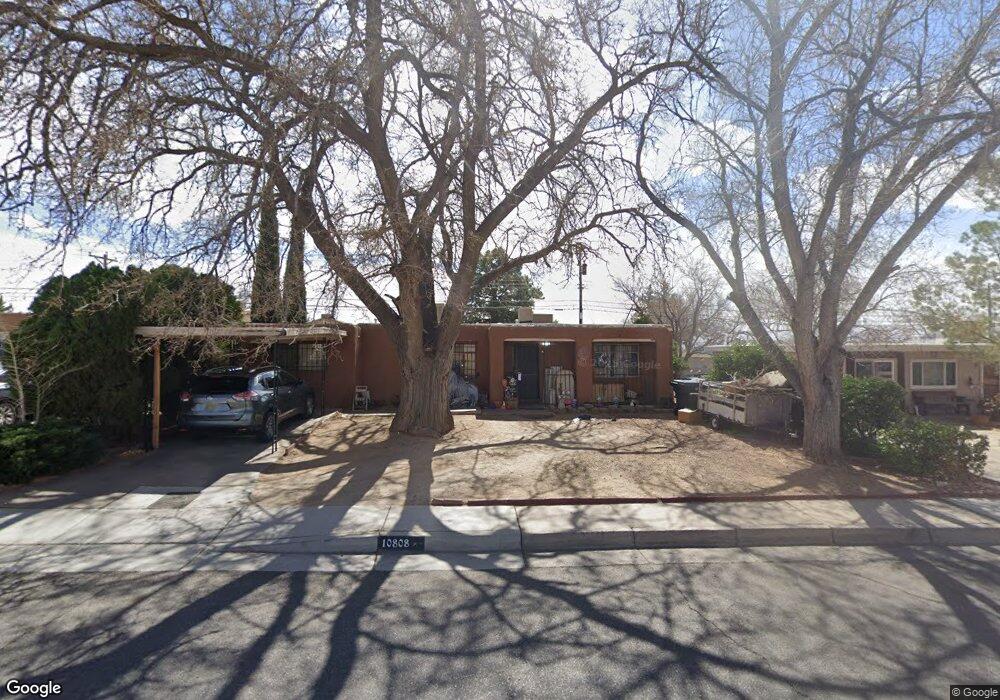
- 10808 Woodland Ave NE
- 10805 Menaul Blvd NE
- 2400 Martha St NE
- 10712 Woodland Ave NE
- 10801 Menaul Blvd NE
- 10809 Menaul Blvd NE
- 10812 Woodland Ave NE
- 10713 Menaul Blvd NE
- 10708 Woodland Ave NE
- 10813 Menaul Blvd NE
- 10816 Woodland Ave NE
- 10709 Menaul Blvd NE
- 2404 Martha St NE
- 2405 Jane St NE
- 10704 Woodland Ave NE
- 10817 Menaul Blvd NE
- 10705 Menaul Blvd NE
- 2405 Martha St NE
- 10901 Woodland Ave NE