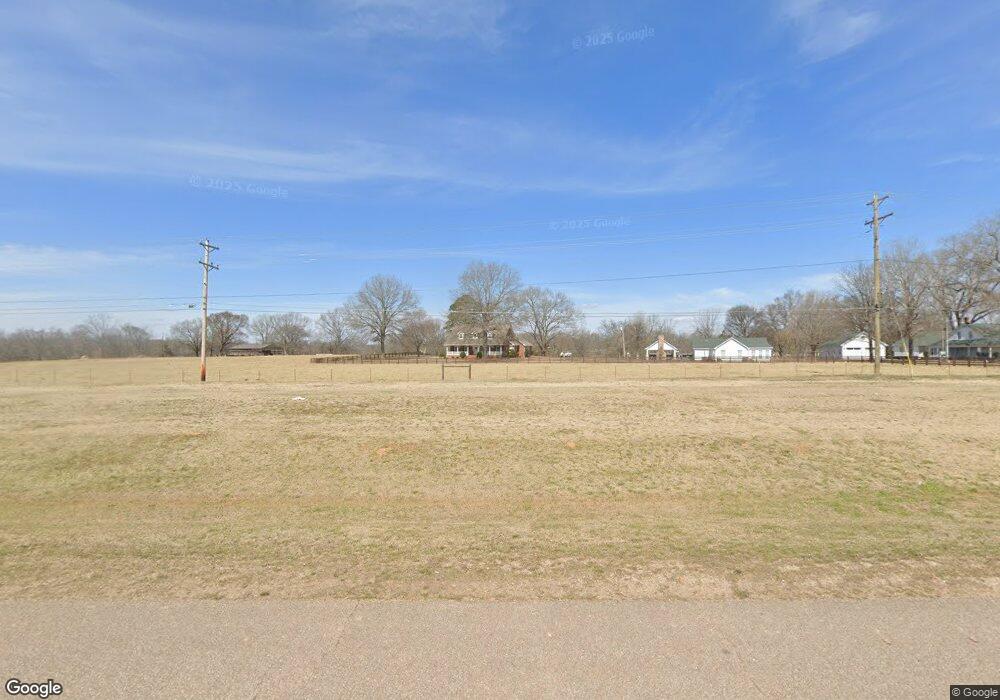
10805 Highway 64 Savannah, TN 38372
Estimated Value: $371,000 - $461,199
--
Bed
4
Baths
3,507
Sq Ft
$122/Sq Ft
Est. Value
About This Home
This home is located at 10805 Highway 64, Savannah, TN 38372 and is currently estimated at $428,800, approximately $122 per square foot. 10805 Highway 64 is a home located in Hardin County with nearby schools including Hardin County High School.
Ownership History
Date
Name
Owned For
Owner Type
Purchase Details
Closed on
Aug 31, 2012
Sold by
Williams Sue Whitlow
Bought by
Williams Walton
Current Estimated Value
Purchase Details
Closed on
Aug 30, 2012
Sold by
Williams Sue Whitlow
Bought by
Williams Wesley and Williams Wade
Purchase Details
Closed on
Aug 24, 2009
Sold by
Whitlow Meredith Helen Eta
Bought by
Williams Sue W
Purchase Details
Closed on
Jan 6, 2003
Sold by
Whitlow Jerri N
Bought by
Williams Linda S
Purchase Details
Closed on
Apr 9, 1991
Bought by
Williams Sue Whitlow and Williams Dennis N
Purchase Details
Closed on
Feb 19, 1954
Bought by
Whitlow Dr Otis
Purchase Details
Closed on
Aug 12, 1948
Purchase Details
Closed on
Oct 14, 1944
Purchase Details
Closed on
Sep 9, 1913
Create a Home Valuation Report for This Property
The Home Valuation Report is an in-depth analysis detailing your home's value as well as a comparison with similar homes in the area
Home Values in the Area
Average Home Value in this Area
Purchase History
| Date | Buyer | Sale Price | Title Company |
|---|---|---|---|
| Williams Walton | -- | -- | |
| Williams Wesley | -- | -- | |
| Williams Sue W | $45,000 | -- | |
| Williams Linda S | -- | -- | |
| Williams Sue Whitlow | $25,800 | -- | |
| Whitlow Dr Otis | -- | -- | |
| -- | -- | -- | |
| -- | -- | -- | |
| -- | -- | -- |
Source: Public Records
Tax History Compared to Growth
Tax History
| Year | Tax Paid | Tax Assessment Tax Assessment Total Assessment is a certain percentage of the fair market value that is determined by local assessors to be the total taxable value of land and additions on the property. | Land | Improvement |
|---|---|---|---|---|
| 2024 | $1,905 | $108,875 | $7,125 | $101,750 |
| 2023 | $1,905 | $108,875 | $7,125 | $101,750 |
| 2022 | $1,421 | $68,975 | $5,950 | $63,025 |
| 2021 | $1,421 | $68,975 | $5,950 | $63,025 |
| 2020 | $1,421 | $68,975 | $5,950 | $63,025 |
| 2019 | $1,421 | $68,975 | $5,950 | $63,025 |
| 2018 | $1,374 | $68,975 | $5,950 | $63,025 |
| 2017 | $1,401 | $67,350 | $5,950 | $61,400 |
| 2016 | $1,401 | $67,350 | $5,950 | $61,400 |
| 2015 | $1,226 | $67,350 | $5,950 | $61,400 |
| 2014 | $1,226 | $67,350 | $5,950 | $61,400 |
Source: Public Records
Map
Nearby Homes
- 150 Moore Rd
- 75 Cassandra Way
- 15 Titan Way
- 880 Double Springs Loop
- 90 Double Springs Loop
- 6 Alexander Dr
- 30 Rodeo Way
- 1075 Tennessee 203
- 1075 Highway 203
- 115 Partridge Ln
- 00 E End Dr
- 460 Andrews Ln
- 415 Cagle Cir
- 95 Cedar Cove Ln
- 1820 Pinhook Rd
- 405 Partridge Ln
- 00 Squaw St
- 165 Phillips Dr
- 200 Hardin Rd
- 30 Blount Dr
- 10805 Highway 64
- 10805 Highway 64
- 10915 Highway 64
- 10715 Highway 64
- 10850 Highway 64
- 11040 Highway 64
- 10625 Highway 64
- 180 Old Town Loop
- 375 Hard Rock Rd
- 435 Hard Rock Rd
- 290 Hard Rock Rd
- 230 Steele Rd
- 310 Hard Rock Rd
- 480 Hard Rock Rd
- 270 Hard Rock Rd
- 246 Steele Rd
- 70 Steele Rd
- 150 Steele Rd
- 360 Old Town Loop
- 50 Whitney Ln
