Estimated Value: $409,000 - $502,764
3
Beds
6
Baths
1,920
Sq Ft
$242/Sq Ft
Est. Value
About This Home
This home is located at 1081 280th St Unit 2, Jesup, IA 50648 and is currently estimated at $463,941, approximately $241 per square foot. 1081 280th St Unit 2 is a home located in Buchanan County with nearby schools including Jesup Elementary School, Jesup Middle School, and Jesup High School.
Ownership History
Date
Name
Owned For
Owner Type
Purchase Details
Closed on
Sep 27, 2013
Sold by
Rohret Robert G and Rohret Alice E
Bought by
Hanson Joseph M and Hanson Melynda M
Current Estimated Value
Home Financials for this Owner
Home Financials are based on the most recent Mortgage that was taken out on this home.
Original Mortgage
$259,350
Outstanding Balance
$194,882
Interest Rate
4.5%
Mortgage Type
New Conventional
Estimated Equity
$269,059
Create a Home Valuation Report for This Property
The Home Valuation Report is an in-depth analysis detailing your home's value as well as a comparison with similar homes in the area
Home Values in the Area
Average Home Value in this Area
Purchase History
| Date | Buyer | Sale Price | Title Company |
|---|---|---|---|
| Hanson Joseph M | $273,000 | None Available |
Source: Public Records
Mortgage History
| Date | Status | Borrower | Loan Amount |
|---|---|---|---|
| Open | Hanson Joseph M | $259,350 |
Source: Public Records
Tax History Compared to Growth
Tax History
| Year | Tax Paid | Tax Assessment Tax Assessment Total Assessment is a certain percentage of the fair market value that is determined by local assessors to be the total taxable value of land and additions on the property. | Land | Improvement |
|---|---|---|---|---|
| 2025 | $5,254 | $454,880 | $66,000 | $388,880 |
| 2024 | $5,254 | $402,480 | $53,790 | $348,690 |
| 2023 | $5,092 | $402,480 | $53,790 | $348,690 |
| 2022 | $4,564 | $319,610 | $43,000 | $276,610 |
| 2021 | $4,420 | $319,610 | $43,000 | $276,610 |
| 2020 | $4,420 | $286,530 | $39,000 | $247,530 |
| 2019 | $4,316 | $286,530 | $39,000 | $247,530 |
| 2018 | $3,992 | $279,060 | $39,000 | $240,060 |
| 2017 | $3,912 | $279,060 | $39,000 | $240,060 |
| 2016 | $3,802 | $275,250 | $29,160 | $246,090 |
| 2015 | $3,802 | $275,250 | $29,160 | $246,090 |
| 2014 | $3,908 | $275,250 | $29,160 | $246,090 |
Source: Public Records
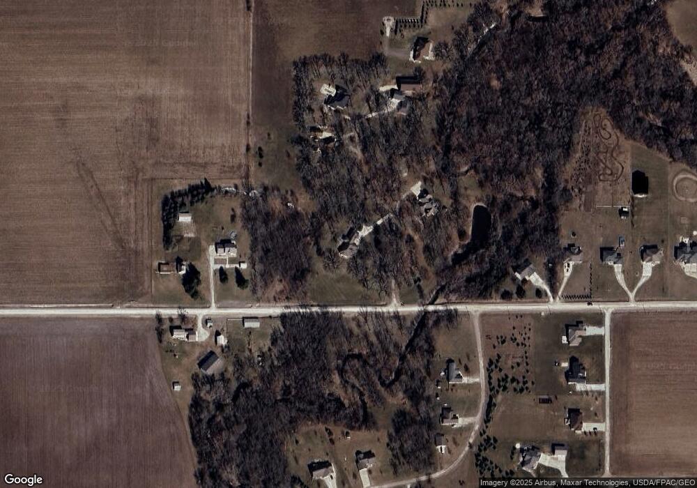
Map
Nearby Homes
- 00 Garling Rd
- 2338 Benson Shady Grove Ave
- 0 Tbd 325th St
- 0 Garling Rd
- Lot 2 Dalton St
- Lot 4 Dalton St
- Lot 7 Dalton St
- Lot 3 Dalton St
- Lot 6 Dalton St
- Lot 1 Dalton St
- Lot 5 Dalton St
- Lot 4 Benson Shady Grove Ave
- Lot 2 Benson Shady Grove Ave
- Lot 1 Benson Shady Grove Ave
- 1555 Dalton St
- 1545 Dalton St
- 1615 Dalton St
- 1565 Dalton St
- 0 Benson Ridge Addition Unit Lot 7 20241370
- 0 Benson Ridge Addition Unit Lot 2 20224979
- 1081 280th St
- 1081 280th St Unit 5
- 1081 280th St Unit 4
- 1081 280th St Unit 7
- 1081 280th St Unit 1
- 1081 280th St Unit 6
- 1081 280th St Unit 3
- 1081 280th St
- 1099 280th St
- 1098 280th St
- 1098 280th St Unit Lot 1
- 1110 280th St
- 1120 280th St
- 1120 280th St Unit Lot 3
- 1105 280th St
- 1101 280th St
- 1090 280th St
- 1090 280th St Unit 8
- 1090 280th St Unit 5
- 1090 280th St Unit 6