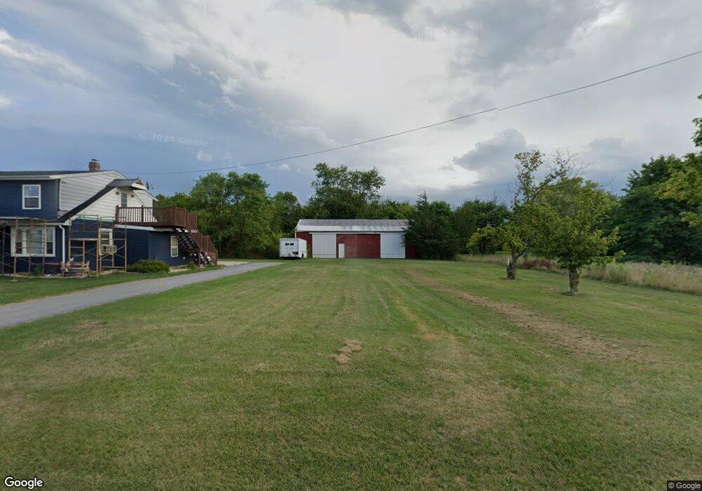
1081 Locust Ln Littlestown, PA 17340
Estimated Value: $325,323 - $386,000
3
Beds
2
Baths
1,778
Sq Ft
$198/Sq Ft
Est. Value
About This Home
This home is located at 1081 Locust Ln, Littlestown, PA 17340 and is currently estimated at $352,581, approximately $198 per square foot. 1081 Locust Ln is a home located in Adams County with nearby schools including Rolling Acres El School, Maple Avenue Middle School, and Littlestown Senior High School.
Ownership History
Date
Name
Owned For
Owner Type
Purchase Details
Closed on
Jan 12, 2021
Sold by
Balzanna Kathleen M
Bought by
Balzanna Ralph E and Balzanna David C
Current Estimated Value
Purchase Details
Closed on
Aug 2, 1973
Bought by
Balzanna Ralph E and Balzanna Kathleen M
Create a Home Valuation Report for This Property
The Home Valuation Report is an in-depth analysis detailing your home's value as well as a comparison with similar homes in the area
Home Values in the Area
Average Home Value in this Area
Purchase History
| Date | Buyer | Sale Price | Title Company |
|---|---|---|---|
| Balzanna Ralph E | -- | None Available | |
| Balzanna Ralph E | $32,500 | -- |
Source: Public Records
Tax History Compared to Growth
Tax History
| Year | Tax Paid | Tax Assessment Tax Assessment Total Assessment is a certain percentage of the fair market value that is determined by local assessors to be the total taxable value of land and additions on the property. | Land | Improvement |
|---|---|---|---|---|
| 2025 | $4,082 | $210,600 | $114,800 | $95,800 |
| 2024 | $3,906 | $210,600 | $114,800 | $95,800 |
| 2023 | $3,831 | $210,600 | $114,800 | $95,800 |
| 2022 | $3,804 | $210,600 | $114,800 | $95,800 |
| 2021 | $3,672 | $210,600 | $114,800 | $95,800 |
| 2020 | $3,620 | $210,600 | $114,800 | $95,800 |
| 2019 | $3,545 | $210,600 | $114,800 | $95,800 |
| 2018 | $3,469 | $210,600 | $114,800 | $95,800 |
| 2017 | $3,364 | $210,600 | $114,800 | $95,800 |
| 2016 | -- | $210,600 | $114,800 | $95,800 |
| 2015 | -- | $210,600 | $114,800 | $95,800 |
| 2014 | -- | $210,600 | $114,800 | $95,800 |
Source: Public Records
Map
Nearby Homes
- 780 White Hall Rd
- 464 Locust Ln
- 67 Cedarfield Dr
- 0 Littlestown Rd
- 28 Bonniefield Cir Unit 25
- 1 Hickory Ave
- 70 Sells Station Rd
- 80 Sells Station Rd
- 4900 Hanover Rd
- 8 Maple St
- 13 N Pine St
- 345 Smoketown Rd
- 0 Locust Dr Unit PAAD2015910
- 20c Locust Dr
- 58 Windsor Ct
- 162 Newark St
- 860 Bon Ox Rd
- 2779 Centennial Rd
- 440 N Queen St
- 1 Hickory Ln
- 1090 Locust Ln
- 1070 Locust Ln
- 1109 Locust Ln
- 1112 Locust Ln
- 1045 Locust Ln
- 1040 Locust Ln Unit 2
- 1121 Locust Ln
- 1133 Locust Ln
- 1130 Locust Ln
- 790 White Hall Rd
- 760 White Hall Rd
- 1147 Locust Ln
- 770 White Hall Rd
- 744 White Hall Rd
- 724 White Hall Rd
- 763 White Hall Rd
- 777 White Hall Rd
- 771 White Hall Rd
- 712 White Hall Rd
- 783 White Hall Rd