1081 Oak Ridge Rd Lincolnton, GA 30817
Estimated Value: $351,645 - $427,000
3
Beds
2
Baths
1,856
Sq Ft
$204/Sq Ft
Est. Value
About This Home
This home is located at 1081 Oak Ridge Rd, Lincolnton, GA 30817 and is currently estimated at $378,215, approximately $203 per square foot. 1081 Oak Ridge Rd is a home with nearby schools including Lincoln County Elementary School, Lincoln County Middle School, and Lincoln County High School.
Ownership History
Date
Name
Owned For
Owner Type
Purchase Details
Closed on
Jun 16, 2009
Sold by
Dew Land Development Co
Bought by
Havens Dennis Lloyd and Havens Bobbie Lazar
Current Estimated Value
Home Financials for this Owner
Home Financials are based on the most recent Mortgage that was taken out on this home.
Original Mortgage
$54,000
Interest Rate
4.79%
Mortgage Type
New Conventional
Purchase Details
Closed on
Jul 3, 2007
Sold by
Hall Gregory
Bought by
Dew Land Development Co
Purchase Details
Closed on
Jan 19, 2001
Sold by
Dew Land Development Co
Bought by
Hall Gregory
Purchase Details
Closed on
Feb 21, 1997
Bought by
Dew Land Development Co
Create a Home Valuation Report for This Property
The Home Valuation Report is an in-depth analysis detailing your home's value as well as a comparison with similar homes in the area
Home Values in the Area
Average Home Value in this Area
Purchase History
| Date | Buyer | Sale Price | Title Company |
|---|---|---|---|
| Havens Dennis Lloyd | $59,000 | -- | |
| Dew Land Development Co | -- | -- | |
| Hall Gregory | $45,000 | -- | |
| Dew Land Development Co | -- | -- |
Source: Public Records
Mortgage History
| Date | Status | Borrower | Loan Amount |
|---|---|---|---|
| Closed | Havens Dennis Lloyd | $54,000 |
Source: Public Records
Tax History Compared to Growth
Tax History
| Year | Tax Paid | Tax Assessment Tax Assessment Total Assessment is a certain percentage of the fair market value that is determined by local assessors to be the total taxable value of land and additions on the property. | Land | Improvement |
|---|---|---|---|---|
| 2025 | $2,898 | $127,360 | $23,320 | $104,040 |
| 2024 | $2,873 | $118,480 | $23,320 | $95,160 |
| 2023 | $2,807 | $106,760 | $23,320 | $83,440 |
| 2022 | $2,348 | $103,400 | $23,320 | $80,080 |
| 2021 | $2,327 | $95,880 | $23,320 | $72,560 |
| 2020 | $2,192 | $80,960 | $23,320 | $57,640 |
| 2019 | $2,195 | $80,960 | $23,320 | $57,640 |
| 2018 | $2,858 | $90,920 | $28,320 | $62,600 |
| 2017 | $2,395 | $76,200 | $21,240 | $54,960 |
| 2016 | $1,963 | $54,120 | $0 | $54,120 |
| 2015 | -- | $75,360 | $21,240 | $54,120 |
| 2014 | -- | $74,840 | $21,240 | $53,600 |
| 2013 | -- | $64,760 | $21,240 | $43,520 |
Source: Public Records
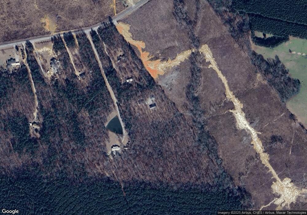
Map
Nearby Homes
- 1960 White Rock Rd
- 1460 Leathersville Rd
- 0 Hwy 220 Tract B
- 0 Maiden Cane Way Unit 10610441
- 0 Mariners Way Unit Lot 39
- 0 Mariners Way Unit Lot 41
- 0 Mariners Way Unit 10539877
- 32 Eagle Pointe
- 1791 Augusta Hwy
- 0 Ga-220 Unit 541923
- 1118 Augusta Hwy
- 280 May Ave
- 125 Elm St
- 2534 Georgia 220
- 0 Hwy 220 Tract A
- 0 Backway Rd
- 0 Hwy 220 Unit 538782
- Lot 14 Wisteria Dr
- Lot 6 Lighthouse Point
- Lot 32 Petersburg Place
- 1080 Oak Ridge Rd
- 1569 White Rock Rd
- 00 Colvin Kennedy Rd
- 0 Colvin Kennedy Rd Unit 260709
- 0 Colvin Kennedy Rd Unit 264270
- 0 Colvin Kennedy Rd Unit 334263
- 0 Colvin Kennedy Rd Unit 306687
- 0 Colvin Kennedy Rd Unit 332034
- 0 Colvin Kennedy Rd Unit 332047
- 0 Colvin Kennedy Rd Unit 332042
- 0 Colvin Kennedy Rd Unit 403031
- 1144 Colvin Kennedy Rd
- 9 Colvin - Kennedy Rd
- 2 Colvin - Kennedy Rd
- 3 Colvin - Kennedy Rd
- 1142 Colvin Kennedy Rd
- 1136 Colvin Kennedy Rd
- 1175 Colvin Kennedy Rd
- 1911 White Rock Rd
- 1101 Colvin Kennedy Rd