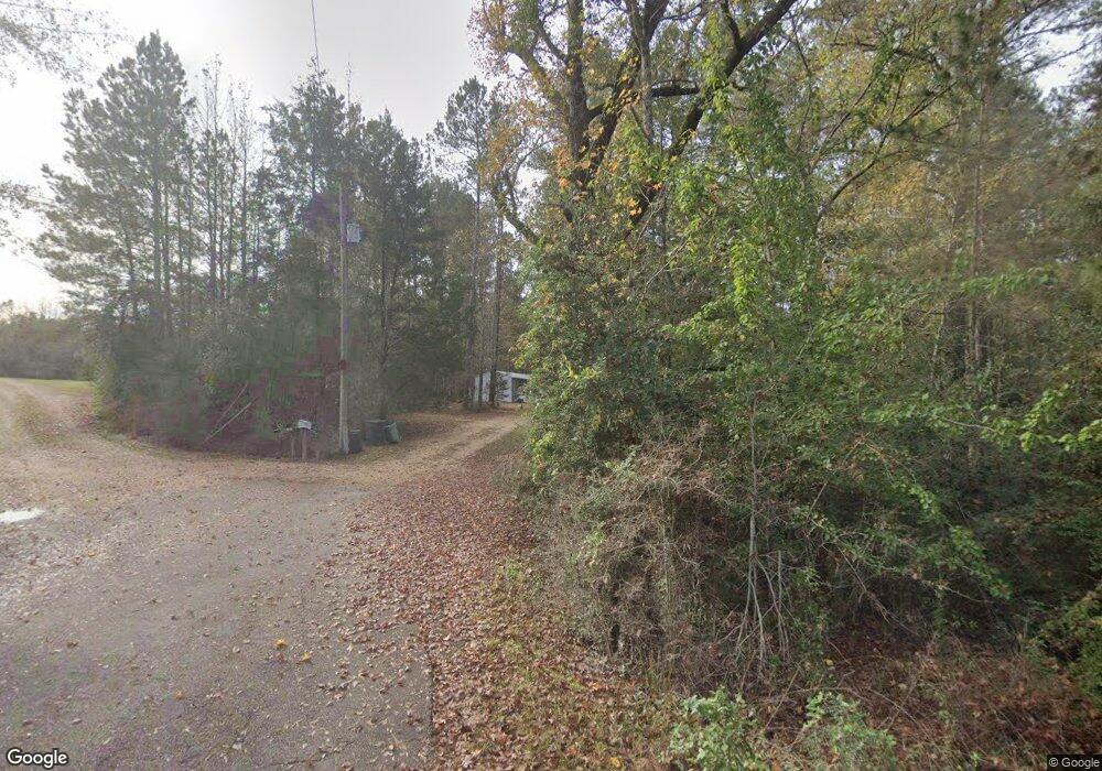
1081 Robert Scott Rd McComb, MS 39648
Estimated Value: $101,367 - $199,000
Studio
--
Bath
1,581
Sq Ft
$103/Sq Ft
Est. Value
About This Home
This home is located at 1081 Robert Scott Rd, McComb, MS 39648 and is currently estimated at $162,842, approximately $102 per square foot. 1081 Robert Scott Rd is a home with nearby schools including North Pike Elementary School, North Pike Middle School, and North Pike Senior High School.
Ownership History
Date
Name
Owned For
Owner Type
Purchase Details
Closed on
Oct 20, 2023
Sold by
Bennett George R
Bought by
Easterling Judith A
Current Estimated Value
Purchase Details
Closed on
Feb 7, 2019
Sold by
Easterling Bennett George R and Easterling Bennett Judy
Bought by
Koscho John and Koscho Mary Helen
Home Financials for this Owner
Home Financials are based on the most recent Mortgage that was taken out on this home.
Original Mortgage
$169,897
Interest Rate
4.5%
Mortgage Type
Commercial
Create a Home Valuation Report for This Property
The Home Valuation Report is an in-depth analysis detailing your home's value as well as a comparison with similar homes in the area
Purchase History
| Date | Buyer | Sale Price | Title Company |
|---|---|---|---|
| Easterling Judith A | -- | None Listed On Document | |
| Koscho John | -- | None Available |
Source: Public Records
Mortgage History
| Date | Status | Borrower | Loan Amount |
|---|---|---|---|
| Previous Owner | Koscho John | $169,897 |
Source: Public Records
Tax History
| Year | Tax Paid | Tax Assessment Tax Assessment Total Assessment is a certain percentage of the fair market value that is determined by local assessors to be the total taxable value of land and additions on the property. | Land | Improvement |
|---|---|---|---|---|
| 2025 | -- | $4,583 | $0 | $0 |
| 2024 | -- | $3,874 | $0 | $0 |
| 2023 | -- | $3,906 | $0 | $0 |
| 2022 | $0 | $3,875 | $0 | $0 |
| 2021 | $0 | $3,912 | $0 | $0 |
| 2020 | $0 | $4,320 | $0 | $0 |
| 2019 | $0 | $4,364 | $0 | $0 |
| 2018 | $0 | $4,401 | $0 | $0 |
| 2017 | $0 | $4,365 | $0 | $0 |
| 2016 | $0 | $4,280 | $0 | $0 |
| 2015 | -- | $4,295 | $0 | $0 |
| 2014 | -- | $4,163 | $0 | $0 |
| 2013 | -- | $4,093 | $0 | $0 |
Source: Public Records
Map
Nearby Homes
- 1028 Chester Reeves Rd
- 0 Rolling Oaks Dr
- 1011 Rolling Oaks Dr
- 7020 Gibson Rd
- 0 Deer Ridge Rd
- 1021 Great Point Rd
- 1037 Boone Rd
- 6121 Gibson Rd
- 1022 Friendship Cir
- 1131 Quail Ridge Dr
- 0 Gibson Rd and Fortenberry Cir Unit 4128519
- 2067 McComb Hville Rd
- 1195 Eleanor Dr
- No Integrity Rd
- 0 Integrity Rd
- 6004 Gibson Rd
- 4134 U S 98
- 1011 Eastover Ln
- 1148 Morgantown Rd
- 0 Morgantown Rd Unit 4125975
- 1063 Robert Scott Rd
- 1057 Robert Scott Rd
- 1049 Robert Scott Rd
- 5164 Summit-Hville Rd
- 1074 Little Rock Ln
- 5196 Summit-Hville Rd
- 5098 Summit-Hville Rd
- 1072 Little Rock Ln
- 5006 Summit Holmesville Rd
- 4015 McComb Holmesville Rd
- tbd Little Rock Ln
- 1039 Moak Reeves Rd
- 1030 Reggie Martin Rd
- 1018 Bulldog Ln
- 1024 Bulldog Ln
- 5066 Summit-Hville Rd
- 1022 Bulldog Ln
- 1018 Reggie Martin Dr
- 1016 Reggie Martin Dr
- 3163 McComb Holmesville Rd
Your Personal Tour Guide
Ask me questions while you tour the home.