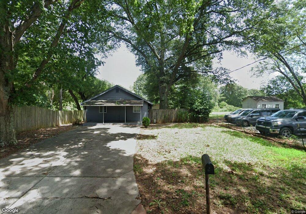
1081 Ruby Dr Marietta, GA 30066
Northwestern Marietta NeighborhoodEstimated Value: $383,000
Studio
--
Bath
--
Sq Ft
41,295
Sq Ft Lot
About This Home
This home is located at 1081 Ruby Dr, Marietta, GA 30066 and is currently priced at $383,000. 1081 Ruby Dr is a home located in Cobb County with nearby schools including Sawyer Road Elementary School, Marietta Sixth Grade Academy, and Marietta Middle School.
Ownership History
Date
Name
Owned For
Owner Type
Purchase Details
Closed on
May 27, 2005
Sold by
Hamby Ersie and Hamby Pauline
Bought by
Olsen Jory W and Olsen Diana
Current Estimated Value
Purchase Details
Closed on
Jan 12, 2005
Sold by
Olsen Jory W and Olsen Diana
Bought by
Jory W & Diana L Olsen Llc
Home Financials for this Owner
Home Financials are based on the most recent Mortgage that was taken out on this home.
Original Mortgage
$1,368,000
Interest Rate
6.21%
Create a Home Valuation Report for This Property
The Home Valuation Report is an in-depth analysis detailing your home's value as well as a comparison with similar homes in the area
Home Values in the Area
Average Home Value in this Area
Purchase History
| Date | Buyer | Sale Price | Title Company |
|---|---|---|---|
| Olsen Jory W | $400,000 | -- | |
| Jory W & Diana L Olsen Llc | -- | -- |
Source: Public Records
Mortgage History
| Date | Status | Borrower | Loan Amount |
|---|---|---|---|
| Previous Owner | Jory W & Diana L Olsen Llc | $1,368,000 |
Source: Public Records
Tax History
| Year | Tax Paid | Tax Assessment Tax Assessment Total Assessment is a certain percentage of the fair market value that is determined by local assessors to be the total taxable value of land and additions on the property. | Land | Improvement |
|---|---|---|---|---|
| 2025 | $382 | $45,172 | $45,172 | -- |
| 2024 | $382 | $45,172 | $45,172 | -- |
| 2023 | $382 | $45,172 | $45,172 | $0 |
Source: Public Records
Map
Nearby Homes
- 1854 Addison Rd NE
- 1800 Sandy Plains Rd
- 1955 E Lake Dr
- 1716 Chanson Place
- 1425 Rosewood Creek Dr
- 0 Oland Cir Unit 10570943
- 0000 Oland Cir
- 1071 Powell Wright Rd
- 1519 Evanston Ln
- 1586 Kings Rd
- 844 Kurtz Rd
- 1442 Glenover Cir
- 823 Prince Ave
- 1490 Longwing Ln
- 721 Ruby St
- 2201 Lessie Maude Dr
- 1834 Butterfly Way
- 1461 Gateview Way
- 1858 Butterfly Way
- 1850 Butterfly Way NE
- 1071 Ruby Dr
- 1161 Sandy Plains Rd
- 1823 New Kemp Rd
- 1171 Sandy Plains Rd
- 1825 New Kemp Rd
- 1861 E Lake Dr
- 1843 New Kemp Rd
- 1788 Sandy Plains Rd
- 1786 Bonnterre Dr
- 1840 Addison Rd NE
- 2211 Snug Harbor NE Unit 2
- 2215 Snug Harbor NE
- 2219 Snug Harbor NE
- 1073 Sandy Plains Rd
- 2223 Snug Harbor NE
- 2227 Snug Harbor NE
- 1851 New Kemp Rd
- 1881 E Lake Dr
- 2207 Snug Harbor NE
- 2231 Snug Harbor NE
Your Personal Tour Guide
Ask me questions while you tour the home.