1081 Rutledge Ford Rd Decherd, TN 37324
Estimated Value: $446,000 - $1,206,108
--
Bed
2
Baths
2,715
Sq Ft
$304/Sq Ft
Est. Value
About This Home
This home is located at 1081 Rutledge Ford Rd, Decherd, TN 37324 and is currently estimated at $826,054, approximately $304 per square foot. 1081 Rutledge Ford Rd is a home located in Franklin County with nearby schools including North Middle School and Franklin County High School.
Ownership History
Date
Name
Owned For
Owner Type
Purchase Details
Closed on
Oct 7, 2025
Sold by
Hill Anthony and Hill Jan
Bought by
Hill Anthony
Current Estimated Value
Purchase Details
Closed on
Apr 3, 2024
Sold by
Hill Anthony and Hill Jan
Bought by
Hill Anthony and Hill Jan
Purchase Details
Closed on
Sep 19, 2016
Sold by
Hill Randall C
Bought by
Hill Anthony
Purchase Details
Closed on
Dec 16, 1987
Purchase Details
Closed on
Feb 25, 1976
Create a Home Valuation Report for This Property
The Home Valuation Report is an in-depth analysis detailing your home's value as well as a comparison with similar homes in the area
Home Values in the Area
Average Home Value in this Area
Purchase History
| Date | Buyer | Sale Price | Title Company |
|---|---|---|---|
| Hill Anthony | -- | None Listed On Document | |
| Hill Anthony | -- | None Listed On Document | |
| Hill Anthony | -- | -- | |
| -- | $90,000 | -- | |
| -- | -- | -- |
Source: Public Records
Tax History Compared to Growth
Tax History
| Year | Tax Paid | Tax Assessment Tax Assessment Total Assessment is a certain percentage of the fair market value that is determined by local assessors to be the total taxable value of land and additions on the property. | Land | Improvement |
|---|---|---|---|---|
| 2024 | $2,390 | $119,775 | $59,350 | $60,425 |
| 2023 | $2,390 | $119,775 | $59,350 | $60,425 |
| 2022 | $2,244 | $119,675 | $59,350 | $60,325 |
| 2021 | $2,280 | $119,675 | $59,350 | $60,325 |
| 2020 | $2,280 | $79,200 | $47,125 | $32,075 |
| 2019 | $2,280 | $79,200 | $47,125 | $32,075 |
| 2018 | $2,117 | $79,200 | $47,125 | $32,075 |
| 2017 | $2,144 | $80,175 | $47,125 | $33,050 |
| 2016 | $1,916 | $71,650 | $40,375 | $31,275 |
| 2015 | $1,916 | $71,650 | $40,375 | $31,275 |
| 2014 | $1,916 | $71,654 | $0 | $0 |
Source: Public Records
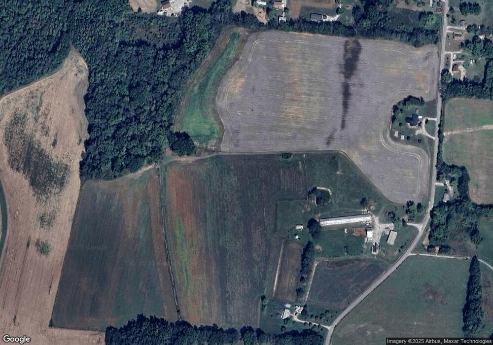
Map
Nearby Homes
- 9616 Old Alto Hwy
- 774 Sherrell Rd
- 0 Old Alto Hwy Unit RTC3039048
- 2526 Oak Grove Rd
- 66 Wilder Chapel Rd
- 11 Jess Long Ln
- 8084 Old Alto Hwy
- 0 Providence Rd
- 0 Laxton Rd Unit RTC2957818
- 0 Spur Rd Unit RTC3013780
- 0 Spur Rd Unit RTC3013804
- 0 Spur Rd Unit RTC3013799
- 0 Spur Rd Unit RTC2991940
- 836 Spur Rd
- 0 Greenhaw Rd Unit RTC2940878
- 0 Greenhaw Rd Unit RTC2940888
- 0 Greenhaw Rd Unit RTC2963691
- 0 Greenhaw Rd Unit RTC2940886
- 0 Greenhaw Rd Unit RTC2940887
- 0 Greenhaw Rd Unit RTC2940890
- 1146 Rutledge Ford Rd
- 1014 Rutledge Ford Rd
- 1186 Rutledge Ford Rd
- 1202 Rutledge Ford Rd
- 1248 Rutledge Ford Rd
- 2336 Wilder Chapel Rd
- 2380 Wilder Chapel Rd
- 1306 Rutledge Ford Rd
- 120 Granny Pond Ln
- 178 Granny Pond Ln
- 777 Rutledge Ford Rd
- 201 Buckner Farm Ln
- 722 Rutledge Ford Rd
- 187 Hill Coulson Rd
- 2224 Wilder Chapel Rd
- 646 Rutledge Ford Rd
- 277 Hill Coulson Rd
- 620 Rutledge Ford Rd
- 2111 Wilder Chapel Rd
- 352 Hill Coulson Rd