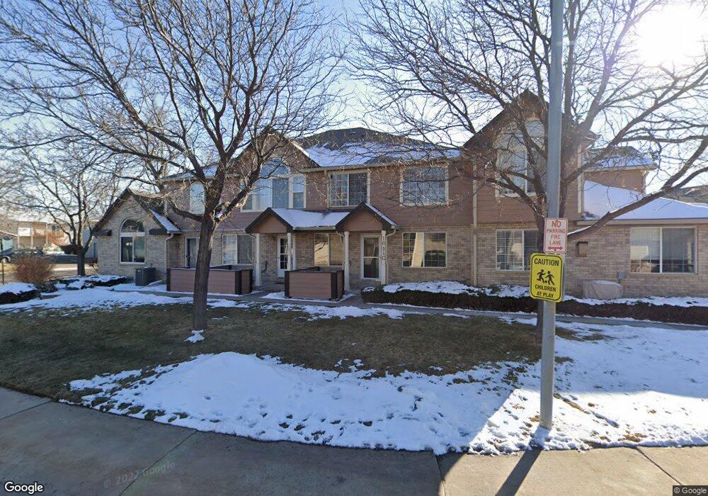
1081 W 112th Ave Unit D Denver, CO 80234
The Ranch NeighborhoodEstimated Value: $391,661 - $407,000
3
Beds
3
Baths
1,584
Sq Ft
$253/Sq Ft
Est. Value
About This Home
This home is located at 1081 W 112th Ave Unit D, Denver, CO 80234 and is currently estimated at $400,915, approximately $253 per square foot. 1081 W 112th Ave Unit D is a home located in Adams County with nearby schools including Cotton Creek Elementary School, Silver Hills Middle School, and Northglenn High School.
Ownership History
Date
Name
Owned For
Owner Type
Purchase Details
Closed on
Sep 24, 1998
Sold by
D R Horton Inc Denver
Bought by
Merrill Pamela
Current Estimated Value
Home Financials for this Owner
Home Financials are based on the most recent Mortgage that was taken out on this home.
Original Mortgage
$132,700
Outstanding Balance
$26,247
Interest Rate
6.92%
Estimated Equity
$374,668
Create a Home Valuation Report for This Property
The Home Valuation Report is an in-depth analysis detailing your home's value as well as a comparison with similar homes in the area
Home Values in the Area
Average Home Value in this Area
Purchase History
| Date | Buyer | Sale Price | Title Company |
|---|---|---|---|
| Merrill Pamela | $139,856 | -- |
Source: Public Records
Mortgage History
| Date | Status | Borrower | Loan Amount |
|---|---|---|---|
| Open | Merrill Pamela | $132,700 |
Source: Public Records
Tax History
| Year | Tax Paid | Tax Assessment Tax Assessment Total Assessment is a certain percentage of the fair market value that is determined by local assessors to be the total taxable value of land and additions on the property. | Land | Improvement |
|---|---|---|---|---|
| 2025 | $1,567 | $28,020 | $5,440 | $22,580 |
| 2024 | $1,567 | $25,750 | $5,000 | $20,750 |
| 2023 | $1,550 | $27,270 | $4,740 | $22,530 |
| 2022 | $1,554 | $22,490 | $4,310 | $18,180 |
| 2021 | $1,605 | $22,490 | $4,310 | $18,180 |
| 2020 | $1,573 | $22,670 | $4,430 | $18,240 |
| 2019 | $1,576 | $22,670 | $4,430 | $18,240 |
| 2018 | $2,102 | $20,050 | $1,160 | $18,890 |
| 2017 | $1,893 | $20,050 | $1,160 | $18,890 |
| 2016 | $1,534 | $15,770 | $1,280 | $14,490 |
| 2015 | $1,531 | $15,770 | $1,280 | $14,490 |
| 2014 | $1,330 | $13,280 | $1,280 | $12,000 |
Source: Public Records
Map
Nearby Homes
- 1121 W 112th Ave Unit C
- 1089 W 112th Ave Unit D
- 1033 W 112th Ave Unit C
- 1025 W 112th Ave Unit D
- 1000 W 112th Ave Unit 308
- 1030 W 112th Ave Unit 204
- 11207 Osage Cir Unit B
- 11238 Osage Cir Unit C
- 11360 Navajo Cir Unit B
- 11085 Huron St Unit 1108
- 11085 Huron St Unit 1106
- 11081 Huron St Unit 1002
- 11251 Osage Cir Unit E
- 11035 Huron St Unit 807
- 11397 Navajo Cir Unit A
- 11189 Melody Dr
- 1665 W 113th Ave
- 1657 W 115th Cir
- 1360 Kennedy Dr
- 1677 W 115th Cir
- 1081 W 112th Ave Unit C
- 1081 W 112th Ave Unit B
- 1081 W 112th Ave Unit A
- 1081 W 112th Ave
- 1081 W 112th Ave Unit 10A
- 1077 W 112th Ave Unit D
- 1077 W 112th Ave Unit C
- 1077 W 112th Ave Unit B
- 1077 W 112th Ave Unit A
- 1161 W 112th Ave Unit D
- 1161 W 112th Ave Unit C
- 1161 W 112th Ave Unit B
- 1161 W 112th Ave Unit A
- 1093 W 112th Ave Unit D
- 1093 W 112th Ave Unit C
- 1093 W 112th Ave Unit B
- 1093 W 112th Ave Unit A
- 1093 W 112th Ave Unit 109A
- 1093 W 112th Ave
- 1097 W 112th Ave Unit C
Your Personal Tour Guide
Ask me questions while you tour the home.