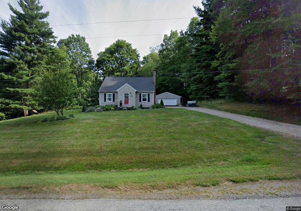
1082 County Road 2075 Ashland, OH 44805
Estimated Value: $198,000 - $274,000
3
Beds
2
Baths
1,450
Sq Ft
$155/Sq Ft
Est. Value
About This Home
This home is located at 1082 County Road 2075, Ashland, OH 44805 and is currently estimated at $225,398, approximately $155 per square foot. 1082 County Road 2075 is a home located in Ashland County with nearby schools including Hillsdale Elementary School, Hillsdale Middle School, and Hillsdale High School.
Ownership History
Date
Name
Owned For
Owner Type
Purchase Details
Closed on
Aug 5, 2025
Sold by
Britton Leushin E and Britton Rachel D
Bought by
Britton Leushin E and Britton Rachel D
Current Estimated Value
Purchase Details
Closed on
Sep 13, 2010
Sold by
Mcbride Michelle D
Bought by
Britton Leushin E
Purchase Details
Closed on
Mar 15, 2006
Sold by
Robertson Emmett
Bought by
Mcbride Michelle D
Purchase Details
Closed on
Jul 24, 1998
Sold by
Robertson William L
Bought by
Robertson Emmett
Purchase Details
Closed on
Oct 11, 1996
Sold by
Krebs James E
Bought by
Robertson William L
Purchase Details
Closed on
Sep 16, 1976
Bought by
Krebs James E
Create a Home Valuation Report for This Property
The Home Valuation Report is an in-depth analysis detailing your home's value as well as a comparison with similar homes in the area
Home Values in the Area
Average Home Value in this Area
Purchase History
| Date | Buyer | Sale Price | Title Company |
|---|---|---|---|
| Britton Leushin E | -- | None Listed On Document | |
| Britton Leushin E | -- | None Listed On Document | |
| Britton Leushin E | $120,000 | -- | |
| Mcbride Michelle D | $110,000 | -- | |
| Robertson Emmett | $65,000 | -- | |
| Robertson William L | $40,000 | -- | |
| Krebs James E | $25,000 | -- |
Source: Public Records
Tax History Compared to Growth
Tax History
| Year | Tax Paid | Tax Assessment Tax Assessment Total Assessment is a certain percentage of the fair market value that is determined by local assessors to be the total taxable value of land and additions on the property. | Land | Improvement |
|---|---|---|---|---|
| 2024 | $1,778 | $54,770 | $9,390 | $45,380 |
| 2023 | $1,778 | $54,770 | $9,390 | $45,380 |
| 2022 | $1,549 | $37,780 | $6,480 | $31,300 |
| 2021 | $1,552 | $37,780 | $6,480 | $31,300 |
| 2020 | $1,452 | $37,780 | $6,480 | $31,300 |
| 2019 | $1,404 | $35,810 | $6,720 | $29,090 |
| 2018 | $1,395 | $35,810 | $6,720 | $29,090 |
| 2017 | $1,397 | $35,810 | $6,720 | $29,090 |
| 2016 | $1,220 | $31,150 | $5,850 | $25,300 |
| 2015 | $1,205 | $31,150 | $5,850 | $25,300 |
| 2013 | $1,350 | $34,190 | $5,850 | $28,340 |
Source: Public Records
Map
Nearby Homes
- 1048 Township Road 2156
- 1106 County Road 30a
- 1183 County Road 30a
- 19 Maine St
- 820 County Road 30a
- 0 Township Road 925
- 945 Pike Dr
- 0 Twp Rd 1806 Unit 11591470
- 0 Mount Zion Rd Unit 9069748
- 3290 Shad Dr W
- 775 Touby Ln
- 1015 Township Road 1696
- 1690 County Road 995
- 150 E Main St
- 2750 Lutz Ave
- 0 Applegate Rd
- 968 Township Road 2506
- 2428 Applegate Rd
- 1084 County Road 2075
- 1081 County Road 2075
- 1079 County Road 2075
- 1079 County Road 2075
- 1080 County Road 2075
- 1080 Cr 2075
- 00 County Road 2075
- 0 County Road 2075
- 1095 County Road 2075
- 1100 County Road 2075
- 1106 County Road 2075
- 1110 County Road 2075
- 1117 County Road 2075
- 1050 County Road 2075
- 1047 County Road 2075
- 1120 County Road 2075
- 1121 County Road 2075
- 0 Township Road 2156 Unit 11368530
- 0 Township Road 2156 Unit 220164
- 0 Township Road 2156 Unit 203574