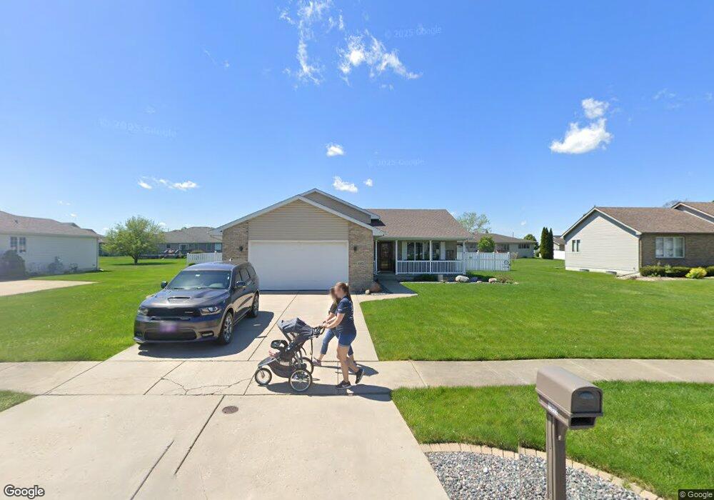
10822 Maloian Dr Saint John, IN 46373
Saint John NeighborhoodEstimated Value: $482,000
3
Beds
2
Baths
2,016
Sq Ft
$239/Sq Ft
Est. Value
About This Home
This home is located at 10822 Maloian Dr, Saint John, IN 46373 and is currently priced at $482,000, approximately $239 per square foot. 10822 Maloian Dr is a home located in Lake County with nearby schools including Lincoln Elementary School, Hanover Central Middle School, and Hanover Central High School.
Ownership History
Date
Name
Owned For
Owner Type
Purchase Details
Closed on
Jul 12, 2017
Sold by
Swets Ronald S and Gricus Swets Lynette R
Bought by
Swets Ronald Scott and Gricus Swets Lynette
Current Estimated Value
Purchase Details
Closed on
Jul 27, 2007
Sold by
Werner Matthew D
Bought by
Swets Ronald S and Gricus Swets Lynette R
Home Financials for this Owner
Home Financials are based on the most recent Mortgage that was taken out on this home.
Original Mortgage
$218,500
Outstanding Balance
$138,837
Interest Rate
6.73%
Mortgage Type
Purchase Money Mortgage
Create a Home Valuation Report for This Property
The Home Valuation Report is an in-depth analysis detailing your home's value as well as a comparison with similar homes in the area
Home Values in the Area
Average Home Value in this Area
Purchase History
| Date | Buyer | Sale Price | Title Company |
|---|---|---|---|
| Swets Ronald Scott | -- | None Available | |
| Swets Ronald S | -- | Ticor Cp |
Source: Public Records
Mortgage History
| Date | Status | Borrower | Loan Amount |
|---|---|---|---|
| Open | Swets Ronald S | $218,500 |
Source: Public Records
Tax History Compared to Growth
Tax History
| Year | Tax Paid | Tax Assessment Tax Assessment Total Assessment is a certain percentage of the fair market value that is determined by local assessors to be the total taxable value of land and additions on the property. | Land | Improvement |
|---|---|---|---|---|
| 2023 | $3,949 | $375,100 | $60,000 | $315,100 |
| 2022 | $3,949 | $313,200 | $60,000 | $253,200 |
| 2020 | $2,713 | $248,400 | $44,200 | $204,200 |
| 2019 | -- | $238,100 | $44,200 | $193,900 |
| 2018 | -- | $231,500 | $44,200 | $187,300 |
| 2017 | -- | $225,600 | $44,200 | $181,400 |
| 2016 | -- | $228,000 | $44,200 | $183,800 |
| 2014 | -- | $231,800 | $44,200 | $187,600 |
| 2013 | -- | $231,600 | $44,200 | $187,400 |
Source: Public Records
Map
Nearby Homes
- 10837 Maloian Dr
- 10717 Maloian Dr
- 12268 W 107th Ln
- 10788 Knickerbocker Ct
- 10888 Wachter Ct
- 10746 Knickerbocker Ct
- 12914 W 109th Ave
- 11031 Delta Dr
- 13001 109th Ave
- 13071 W 109th Ave
- 13085 109th Ave
- 12957 109th Place
- 13351 W 107th Ave
- 12994 109th Place
- 13085 109th Place
- 11045 Delta Dr
- 10919 Huron St
- 13614 W 105th Place
- 10043 Northcote Ct
- 13962 Empress Ln
- 10806 Maloian Dr
- 10836 Maloian Dr
- 10823 Manor Dr
- 10871 Maloian Dr
- 10807 Manor Dr
- 10790 Maloian Dr
- 10854 Maloian Dr
- 10823 Maloian Dr
- 10807 Maloian Dr
- 10791 Manor Dr
- 10855 Manor Dr
- 10791 Maloian Dr
- 10855 Maloian Dr
- 10777 Manor Dr
- 10814 Northcote Dr
- 10822 Manor Dr
- 10832 Northcote Dr
- 10777 Maloian Dr
- 10806 Manor Dr
- 10836 Manor Dr