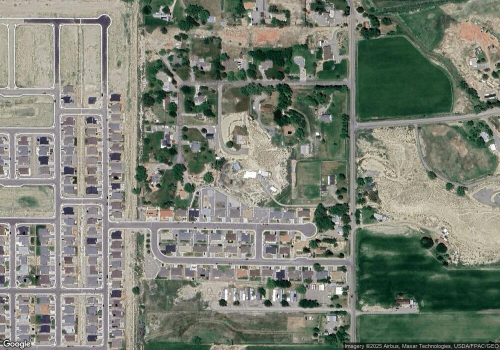
1083 6600 Rd Montrose, CO 81401
Estimated Value: $292,418 - $425,000
--
Bed
1
Bath
1,444
Sq Ft
$244/Sq Ft
Est. Value
About This Home
This home is located at 1083 6600 Rd, Montrose, CO 81401 and is currently estimated at $351,855, approximately $243 per square foot. 1083 6600 Rd is a home located in Montrose County with nearby schools including Johnson Elementary School, Centennial Middle School, and Montrose High School.
Ownership History
Date
Name
Owned For
Owner Type
Purchase Details
Closed on
Jul 9, 2019
Sold by
Brady Keith
Bought by
Hunt Michael L and Hunt Melissa D
Current Estimated Value
Home Financials for this Owner
Home Financials are based on the most recent Mortgage that was taken out on this home.
Original Mortgage
$152,000
Outstanding Balance
$136,208
Interest Rate
5%
Estimated Equity
$215,647
Purchase Details
Closed on
Mar 1, 2016
Sold by
Mccleary Richard E
Bought by
Brady Keith
Purchase Details
Closed on
Jan 7, 2016
Sold by
Mccleary Richard E
Bought by
Brady Keith
Purchase Details
Closed on
May 1, 1972
Sold by
Mccleary James O and Mccleary Hazel
Bought by
Mccleary Richard E
Create a Home Valuation Report for This Property
The Home Valuation Report is an in-depth analysis detailing your home's value as well as a comparison with similar homes in the area
Home Values in the Area
Average Home Value in this Area
Purchase History
| Date | Buyer | Sale Price | Title Company |
|---|---|---|---|
| Hunt Michael L | $170,000 | Land Title Guarantee Co | |
| Brady Keith | -- | None Available | |
| Brady Keith | -- | None Available | |
| Mccleary Richard E | $1,500 | -- |
Source: Public Records
Mortgage History
| Date | Status | Borrower | Loan Amount |
|---|---|---|---|
| Open | Hunt Michael L | $152,000 |
Source: Public Records
Tax History Compared to Growth
Tax History
| Year | Tax Paid | Tax Assessment Tax Assessment Total Assessment is a certain percentage of the fair market value that is determined by local assessors to be the total taxable value of land and additions on the property. | Land | Improvement |
|---|---|---|---|---|
| 2024 | $1,237 | $17,160 | $6,180 | $10,980 |
| 2023 | $1,237 | $21,610 | $7,780 | $13,830 |
| 2022 | $951 | $13,630 | $3,910 | $9,720 |
| 2021 | $980 | $14,030 | $4,030 | $10,000 |
| 2020 | $821 | $12,080 | $3,500 | $8,580 |
| 2019 | $827 | $12,080 | $3,500 | $8,580 |
| 2018 | $358 | $10,200 | $2,940 | $7,260 |
| 2017 | $355 | $10,200 | $2,940 | $7,260 |
| 2016 | $324 | $9,460 | $2,830 | $6,630 |
| 2015 | $637 | $9,460 | $2,830 | $6,630 |
| 2014 | $535 | $8,500 | $2,830 | $5,670 |
Source: Public Records
Map
Nearby Homes
- 1730 Moonlight Dr
- 1808 Moonlight Dr
- 1806 Galaxy Dr
- 1710 Galaxy Dr
- 1400 Weminuche Ave
- 1500 Weminuche Ave
- 1409 Weminuche Ave
- 1300 Weminuche
- 1356 Blue Creek Ave
- 1316 Owl Creek Ave
- 66231 Landfill Rd
- 1341 Owl Creek Ave
- 1434 Fivemile Creek Ave
- TBD 6600 Rd
- Lot 2 Blk 15 Fivemile Creek Ave
- 1809 Draft Horse Rd
- 1350 Excelsior Creek Ave
- Lot 1 Blk 18 Fivemile Creek Ave
- 1340 Dry Creek Ave
- 665 6600 Rd
- 1731 Moonlight Dr
- 1729 Moonlight Dr
- 1805 Moonlight Dr
- 1725 Moonlight Dr
- 65858 Little Way
- 65900 Little Way
- 1809 Moonlight Dr
- 1726 Moonlight Dr
- 65700 Little Way
- 65740 Little Way
- 65930 Little Way
- 1804 Moonlight Dr
- 1717 Moonlight Dr
- 0 Galaxy Dr Moonlight Dr Milkyway Lane and 6600 Rd Unit 725019
- 1722 Moonlight Dr
- 1733 Galaxy Dr
- 1803 Galaxy Dr
- 1727 Galaxy Dr
- 1718 Moonlight Dr
- 1713 Moonlight Dr
