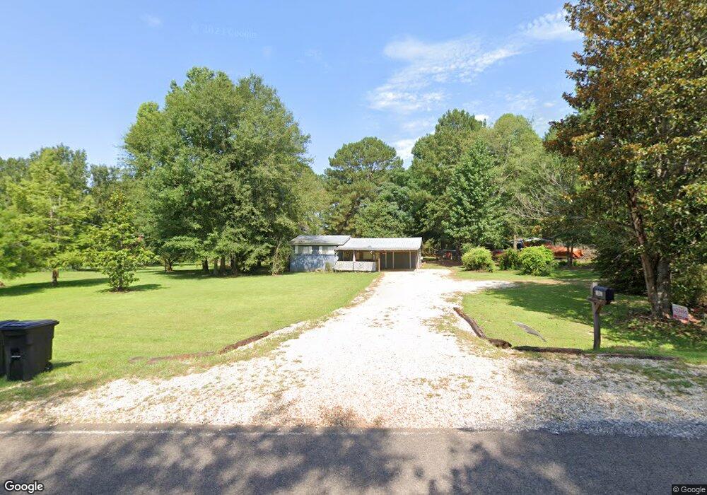
1083 C D Rayborn Rd Summit, MS 39666
Estimated Value: $69,144 - $230,000
2
Beds
1
Bath
960
Sq Ft
$179/Sq Ft
Est. Value
About This Home
This home is located at 1083 C D Rayborn Rd, Summit, MS 39666 and is currently estimated at $171,536, approximately $178 per square foot. 1083 C D Rayborn Rd is a home located in Pike County with nearby schools including North Pike Elementary School, North Pike Middle School, and North Pike Senior High School.
Ownership History
Date
Name
Owned For
Owner Type
Purchase Details
Closed on
Dec 19, 2007
Sold by
Boyd Jeffrey B and Boyd Mindy W
Bought by
Busby Lance G
Current Estimated Value
Home Financials for this Owner
Home Financials are based on the most recent Mortgage that was taken out on this home.
Original Mortgage
$59,183
Interest Rate
6.21%
Mortgage Type
New Conventional
Purchase Details
Closed on
Aug 18, 2006
Sold by
Boyd Donald R and Boyd Marian M
Bought by
Boyd Jeffrey B and Boyd Mindy W
Home Financials for this Owner
Home Financials are based on the most recent Mortgage that was taken out on this home.
Original Mortgage
$35,272
Interest Rate
6.71%
Mortgage Type
Unknown
Create a Home Valuation Report for This Property
The Home Valuation Report is an in-depth analysis detailing your home's value as well as a comparison with similar homes in the area
Purchase History
| Date | Buyer | Sale Price | Title Company |
|---|---|---|---|
| Busby Lance G | -- | None Available | |
| Boyd Jeffrey B | -- | None Available |
Source: Public Records
Mortgage History
| Date | Status | Borrower | Loan Amount |
|---|---|---|---|
| Previous Owner | Busby Lance G | $59,183 | |
| Previous Owner | Boyd Jeffrey B | $35,272 |
Source: Public Records
Tax History
| Year | Tax Paid | Tax Assessment Tax Assessment Total Assessment is a certain percentage of the fair market value that is determined by local assessors to be the total taxable value of land and additions on the property. | Land | Improvement |
|---|---|---|---|---|
| 2025 | $272 | $2,896 | $0 | $0 |
| 2024 | $230 | $2,413 | $0 | $0 |
| 2023 | $193 | $2,106 | $0 | $0 |
| 2022 | $189 | $2,106 | $0 | $0 |
| 2021 | $188 | $2,106 | $0 | $0 |
| 2020 | $260 | $2,862 | $0 | $0 |
| 2019 | $258 | $2,921 | $0 | $0 |
| 2018 | $256 | $2,921 | $0 | $0 |
| 2017 | $248 | $2,921 | $0 | $0 |
| 2016 | $205 | $2,921 | $0 | $0 |
| 2015 | $201 | $2,953 | $0 | $0 |
| 2014 | $194 | $2,952 | $0 | $0 |
| 2013 | -- | $2,952 | $0 | $0 |
Source: Public Records
Map
Nearby Homes
- 4190 Mississippi 44
- 8001 W Topisaw S
- 6045 Mississippi 44
- 1073 Hillcrest Farms Ln
- TBD Carters Creek Rd
- 239 Mississippi 44
- 1168 Clem Nettles Rd
- 182 Hwy 44 None
- 0 Beartown Rd
- Leonard Rd
- 2094 W Topisaw S
- 2052 W Topisaw S
- 0 Lucille Ln
- 325 Beartown Rd
- 1021 Austin Smith Rd
- 72 Lawrence Reid Rd
- 3174 W Topisaw N
- XXX Highway 44
- 1614 Mississippi 583
- 37 Adron Boyd Rd
- 1087 C D Rayborn Rd
- 1085 C D Rayborn Rd
- 1077 C D Rayborn Rd
- 1099 C D Rayborn Rd
- 1014 Creekside Ct
- 1024 Creekside Ct
- 0 Creekside Ct
- 0 Creekside Ct
- 1114 C D Rayborn Rd
- 1067 C D Rayborn Rd
- 1119 C D Rayborn Rd
- 1040 Creekside Ct
- 1033 C D Rayborn Rd
- 1045 C D Rayborn Rd
- 1151 C D Rayborn Rd
- 1134 C D Rayburn Rd
- 1013 Tanner Ln
- 1134 C D Rayborn Rd
- 1134 C D Rayborn Rd
- 1051 Pricedale Dr
Your Personal Tour Guide
Ask me questions while you tour the home.