1083 Raney Cir McComb, MS 39648
Estimated Value: $166,252 - $326,000
--
Bed
--
Bath
1,821
Sq Ft
$127/Sq Ft
Est. Value
About This Home
This home is located at 1083 Raney Cir, McComb, MS 39648 and is currently estimated at $231,063, approximately $126 per square foot. 1083 Raney Cir is a home with nearby schools including North Pike Elementary School, North Pike Middle School, and North Pike Senior High School.
Ownership History
Date
Name
Owned For
Owner Type
Purchase Details
Closed on
May 25, 2007
Sold by
W K Gaskin Investments Llc
Bought by
Biggart James F and Biggart Julie M
Current Estimated Value
Home Financials for this Owner
Home Financials are based on the most recent Mortgage that was taken out on this home.
Original Mortgage
$108,000
Outstanding Balance
$65,336
Interest Rate
6.16%
Mortgage Type
New Conventional
Estimated Equity
$165,727
Create a Home Valuation Report for This Property
The Home Valuation Report is an in-depth analysis detailing your home's value as well as a comparison with similar homes in the area
Home Values in the Area
Average Home Value in this Area
Purchase History
| Date | Buyer | Sale Price | Title Company |
|---|---|---|---|
| Biggart James F | -- | None Available |
Source: Public Records
Mortgage History
| Date | Status | Borrower | Loan Amount |
|---|---|---|---|
| Open | Biggart James F | $108,000 |
Source: Public Records
Tax History Compared to Growth
Tax History
| Year | Tax Paid | Tax Assessment Tax Assessment Total Assessment is a certain percentage of the fair market value that is determined by local assessors to be the total taxable value of land and additions on the property. | Land | Improvement |
|---|---|---|---|---|
| 2025 | $1,385 | $14,599 | $0 | $0 |
| 2024 | $1,385 | $12,268 | $0 | $0 |
| 2023 | $1,349 | $12,268 | $0 | $0 |
| 2022 | $1,326 | $12,268 | $0 | $0 |
| 2021 | $1,226 | $11,547 | $0 | $0 |
| 2020 | $1,264 | $11,782 | $0 | $0 |
| 2019 | $1,226 | $11,784 | $0 | $0 |
| 2018 | $1,216 | $11,785 | $0 | $0 |
| 2017 | $1,183 | $11,783 | $0 | $0 |
| 2016 | $1,281 | $11,781 | $0 | $0 |
| 2015 | -- | $13,623 | $0 | $0 |
| 2014 | -- | $13,616 | $0 | $0 |
| 2013 | -- | $13,326 | $0 | $0 |
Source: Public Records
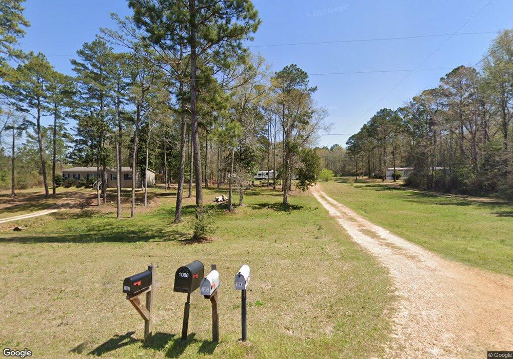
Map
Nearby Homes
- XXX Brewer Ln
- 1086 Mississippi 570
- 1078 Mississippi 570
- 3155 Cole Thomas Rd
- 0 Summit Holmesville Rd
- 1064 Pine Cone Ln
- 1024 Sabrina Dr
- 0 Johnson Ave
- 1002 Avenue F None
- 1002 Avenue F
- TBD Hwy 44e
- 415 N Magnolia St
- 1019 Pearl River Avenue Extension
- 133 N Chestnut St
- 1004 Van Norman Curve
- 1041 Van Norman Curve
- 1031 Pearl River Ave
- 133 N Live Oak St
- 143 N Myrtle St
- 1102 Pearl River Ave
- 1095 Raney Cir
- 1077 Raney Cir
- 1087 Raney Cir
- 1059 Raney Cir
- 1054 Brewers Ln
- 1052 Brewers Ln
- 3055 Cole Thomas Rd
- 1058 Raney Cir
- 1043 Raney Cir
- 3061 Cole Thomas Rd
- 1047 Brewers Ln
- 3059 Cole Thomas Rd
- 1039 Raney Cir
- 3085 Cole Thomas Rd
- 1100 Highway 570e
- 3077 Cole Thomas Rd
- 1100 Highway 570 E
- 3095 Cole Thomas Rd
- 1028 Brewer Ln
- 1023 Brewers Ln