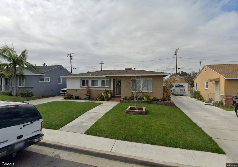
10837 Canelo Rd Whittier, CA 90604
South Whittier NeighborhoodEstimated Value: $756,000 - $800,000
3
Beds
2
Baths
1,188
Sq Ft
$648/Sq Ft
Est. Value
About This Home
This home is located at 10837 Canelo Rd, Whittier, CA 90604 and is currently estimated at $770,145, approximately $648 per square foot. 10837 Canelo Rd is a home located in Los Angeles County with nearby schools including La Colima Elementary School, Hillview Middle School, and La Serna High School.
Ownership History
Date
Name
Owned For
Owner Type
Purchase Details
Closed on
May 8, 2003
Sold by
Tennyson Diana E
Bought by
Tennyson Perry Joe and Tennyson Diana E
Current Estimated Value
Home Financials for this Owner
Home Financials are based on the most recent Mortgage that was taken out on this home.
Original Mortgage
$205,800
Interest Rate
5.75%
Mortgage Type
Purchase Money Mortgage
Purchase Details
Closed on
May 8, 2002
Sold by
Tennyson Perry Joe
Bought by
Tennyson Diana E
Purchase Details
Closed on
Jul 12, 1999
Sold by
Towry Robert V And Carol L Trust
Bought by
Tennyson Perry Joe and Tennyson Diana E
Home Financials for this Owner
Home Financials are based on the most recent Mortgage that was taken out on this home.
Original Mortgage
$180,700
Interest Rate
7.56%
Mortgage Type
FHA
Create a Home Valuation Report for This Property
The Home Valuation Report is an in-depth analysis detailing your home's value as well as a comparison with similar homes in the area
Home Values in the Area
Average Home Value in this Area
Purchase History
| Date | Buyer | Sale Price | Title Company |
|---|---|---|---|
| Tennyson Perry Joe | -- | Equity Title Company | |
| Tennyson Diana E | -- | -- | |
| Tennyson Perry Joe | $182,500 | American Title Co |
Source: Public Records
Mortgage History
| Date | Status | Borrower | Loan Amount |
|---|---|---|---|
| Closed | Tennyson Perry Joe | $205,800 | |
| Closed | Tennyson Perry Joe | $180,700 |
Source: Public Records
Tax History
| Year | Tax Paid | Tax Assessment Tax Assessment Total Assessment is a certain percentage of the fair market value that is determined by local assessors to be the total taxable value of land and additions on the property. | Land | Improvement |
|---|---|---|---|---|
| 2025 | $3,578 | $280,010 | $170,438 | $109,572 |
| 2024 | $3,578 | $274,521 | $167,097 | $107,424 |
| 2023 | $3,517 | $269,139 | $163,821 | $105,318 |
| 2022 | $3,441 | $263,862 | $160,609 | $103,253 |
| 2021 | $3,372 | $258,689 | $157,460 | $101,229 |
| 2019 | $3,303 | $251,019 | $152,791 | $98,228 |
| 2018 | $3,151 | $246,098 | $149,796 | $96,302 |
| 2016 | $2,979 | $236,543 | $143,980 | $92,563 |
| 2015 | $2,957 | $232,991 | $141,818 | $91,173 |
| 2014 | $2,920 | $228,428 | $139,040 | $89,388 |
Source: Public Records
Map
Nearby Homes
- 14744 Terryknoll Dr
- 14861 Mulberry Dr Unit 1311
- 14865 Mulberry Dr Unit 1105
- 14723 Terryknoll Dr
- 10847 La Mirada Blvd
- 10857 La Mirada Blvd
- 10903 Theis Ave
- 10415 Valley View Ave
- 14568 Reis St
- 10936 Theis Ave
- 15069 Mulberry Dr Unit 21
- 16033 Willow Ct
- 16052 Willow Ct
- 10344 Parise Dr
- 11314 La Mirada Blvd
- 14315 Broadway Unit 210
- 14308 Broadway
- 10405 Bluefield Ave
- 11502 Double Eagle Dr
- 15215 Jenkins Dr
- 10843 Canelo Rd
- 10831 Canelo Rd
- 10849 Canelo Rd
- 10828 Colima Rd
- 10825 Canelo Rd
- 10816 Colima Rd
- 10834 Colima Rd
- 10836 Canelo Rd
- 10832 Canelo Rd
- 10842 Canelo Rd
- 10821 Canelo Rd
- 10810 Colima Rd
- 10826 Canelo Rd
- 10848 Canelo Rd
- 10820 Canelo Rd
- 10813 Canelo Rd
- 10861 Canelo Rd
- 10802 Colima Rd
- 14804 Dicky St
- 14839 Dicky St
Your Personal Tour Guide
Ask me questions while you tour the home.