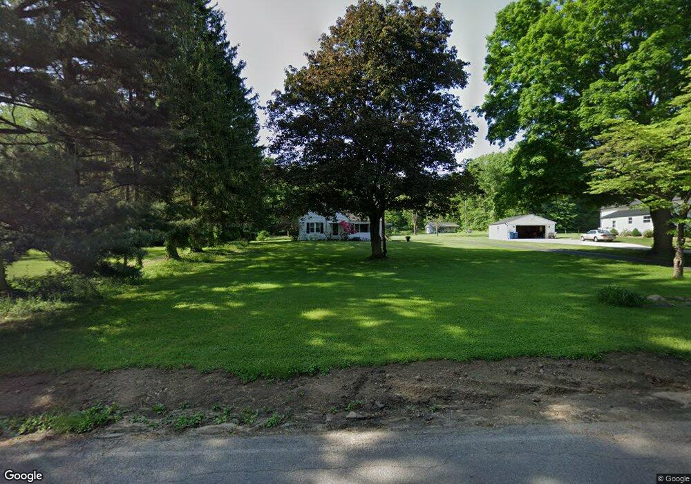
1084 Swigart Rd New Franklin, OH 44203
Estimated Value: $215,006 - $255,000
2
Beds
1
Bath
1,020
Sq Ft
$227/Sq Ft
Est. Value
About This Home
This home is located at 1084 Swigart Rd, New Franklin, OH 44203 and is currently estimated at $231,502, approximately $226 per square foot. 1084 Swigart Rd is a home located in Summit County with nearby schools including Nolley Elementary School, Manchester Middle School, and Manchester High School.
Ownership History
Date
Name
Owned For
Owner Type
Purchase Details
Closed on
Apr 2, 2018
Sold by
Harvey Jody
Bought by
Harvey Jamie L
Current Estimated Value
Purchase Details
Closed on
Oct 17, 2012
Sold by
George Daniel T and George Rita I
Bought by
Harvey Jody
Purchase Details
Closed on
Jul 5, 2012
Sold by
Estate Of Michael Danny George
Bought by
George Daniel T and George Rita I
Create a Home Valuation Report for This Property
The Home Valuation Report is an in-depth analysis detailing your home's value as well as a comparison with similar homes in the area
Home Values in the Area
Average Home Value in this Area
Purchase History
| Date | Buyer | Sale Price | Title Company |
|---|---|---|---|
| Harvey Jamie L | -- | None Available | |
| Harvey Jody | $93,720 | None Available | |
| George Daniel T | -- | None Available |
Source: Public Records
Tax History Compared to Growth
Tax History
| Year | Tax Paid | Tax Assessment Tax Assessment Total Assessment is a certain percentage of the fair market value that is determined by local assessors to be the total taxable value of land and additions on the property. | Land | Improvement |
|---|---|---|---|---|
| 2025 | $2,902 | $58,083 | $15,012 | $43,071 |
| 2024 | $2,902 | $58,083 | $15,012 | $43,071 |
| 2023 | $2,902 | $58,083 | $15,012 | $43,071 |
| 2022 | $2,809 | $43,796 | $11,204 | $32,592 |
| 2021 | $2,819 | $43,796 | $11,204 | $32,592 |
| 2020 | $2,770 | $43,790 | $11,200 | $32,590 |
| 2019 | $2,603 | $36,880 | $11,650 | $25,230 |
| 2018 | $2,246 | $36,880 | $11,650 | $25,230 |
| 2017 | $2,212 | $36,880 | $11,650 | $25,230 |
| 2016 | $2,186 | $32,890 | $10,420 | $22,470 |
| 2015 | $2,212 | $32,890 | $10,420 | $22,470 |
| 2014 | $2,195 | $32,890 | $10,420 | $22,470 |
| 2013 | $2,177 | $32,800 | $10,420 | $22,380 |
Source: Public Records
Map
Nearby Homes
- 4973 Patricia Dr
- 1365 Vanderhoof Rd
- 1343 Vermillion Dr
- 0 W Turkeyfoot Lake Rd Unit 5157637
- 4393 Hilltop Dr
- 4216 State Rd
- 538 Melcher Ave
- 4034 Manchester Rd
- 4944 Coleman Dr
- 4131 State Park Dr
- 4869 Coleman Dr
- 410 Silk Ct
- 4119 Melton Ave
- 855 Fowler Ave
- 715 Jolson Ave
- 3826 Powell Ave
- 1742 Turkeyfoot Lake Rd
- lot 8 Whyem Dr
- 4751 Bickford Ave
- 3738 Random Dr
- 1066 Swigart Rd
- 1088 Swigart Rd
- 1079 Swigart Rd
- 1067 Swigart Rd
- 1054 Swigart Rd
- 1099 Swigart Rd
- 1108 Swigart Rd
- 1057 Swigart Rd
- 4796 Edna Dr
- 4800 Edna Dr
- 1101 Swigart Rd
- 1089 Swigart Rd
- 4755 Manchester Rd
- 1045 Swigart Rd
- 1034 Swigart Rd
- 4790 Edna Dr
- 4713 Manchester Rd
- 4799 Edna Dr
- 1024 Swigart Rd
- 4723 Manchester Rd