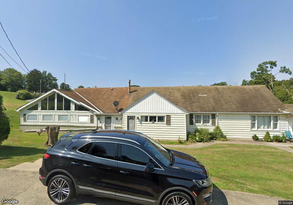
1084 Watt Rd Apollo, PA 15613
Estimated Value: $150,158 - $446,000
Studio
--
Bath
--
Sq Ft
95,396
Sq Ft Lot
About This Home
This home is located at 1084 Watt Rd, Apollo, PA 15613 and is currently estimated at $296,790. 1084 Watt Rd is a home with nearby schools including Kiski Area High School.
Ownership History
Date
Name
Owned For
Owner Type
Purchase Details
Closed on
Apr 7, 2017
Sold by
Long Wesley T and Moore Donald A
Bought by
Cable Enterprises Inc
Current Estimated Value
Home Financials for this Owner
Home Financials are based on the most recent Mortgage that was taken out on this home.
Original Mortgage
$135,000
Outstanding Balance
$110,772
Interest Rate
4.14%
Mortgage Type
Commercial
Estimated Equity
$186,018
Create a Home Valuation Report for This Property
The Home Valuation Report is an in-depth analysis detailing your home's value as well as a comparison with similar homes in the area
Home Values in the Area
Average Home Value in this Area
Purchase History
| Date | Buyer | Sale Price | Title Company |
|---|---|---|---|
| Cable Enterprises Inc | $180,000 | None Available |
Source: Public Records
Mortgage History
| Date | Status | Borrower | Loan Amount |
|---|---|---|---|
| Open | Cable Enterprises Inc | $135,000 |
Source: Public Records
Tax History
| Year | Tax Paid | Tax Assessment Tax Assessment Total Assessment is a certain percentage of the fair market value that is determined by local assessors to be the total taxable value of land and additions on the property. | Land | Improvement |
|---|---|---|---|---|
| 2026 | $6,441 | $42,030 | $2,360 | $39,670 |
| 2025 | $6,269 | $42,030 | $2,360 | $39,670 |
| 2024 | $5,943 | $42,030 | $2,360 | $39,670 |
| 2023 | $5,425 | $42,030 | $2,360 | $39,670 |
| 2022 | $5,258 | $42,030 | $2,360 | $39,670 |
| 2021 | $5,258 | $42,030 | $2,360 | $39,670 |
| 2020 | $5,244 | $42,030 | $2,360 | $39,670 |
| 2019 | $5,181 | $42,030 | $2,360 | $39,670 |
| 2018 | $5,097 | $42,030 | $2,360 | $39,670 |
| 2017 | $4,971 | $42,030 | $2,360 | $39,670 |
| 2016 | $4,894 | $42,030 | $2,360 | $39,670 |
| 2015 | $4,894 | $42,030 | $2,360 | $39,670 |
| 2014 | $4,868 | $42,030 | $2,360 | $39,670 |
Source: Public Records
Map
Nearby Homes
- 380 Northgate Dr Unit D
- 384 Northgate Dr Unit T
- 126 Bakers Ln
- 410 Elderberry Ln
- 843 Pine Run Rd
- 623 Marco Rd
- 460 Beaver Run Rd
- 138 Beaver Run Rd
- 526 Pleasant View Dr
- 380 Woodland Rd
- 150 Watson Rd
- 0 Watson Rd
- 217 Karen Dr
- 110 Markle Rd
- 4792 State Route 66
- 225 Kochka Dr
- 115 Acadia Ln
- 115 Truxall Rd
- Parcel A Beighley Rd
- 107 Moglia Ln
- 155 N Washington Rd
- 1078 Watt Rd
- 164 N Washington Rd
- 168 N Washington Rd
- 172 N Washington Rd
- 150 N Washington Rd
- 184 N Washington Rd
- 145 N Washington Rd
- 726 Grange Dr
- 140 N Washington Rd
- 730 Grange Dr
- 190 N Washington Rd
- 706 Grange Dr
- 710 Grange Dr
- 136 N Washington Rd
- 192 N Washington Rd
- 196 N Washington Rd
- 188 N Washington Rd
- 729 Grange Dr
- 725 Grange Dr
Your Personal Tour Guide
Ask me questions while you tour the home.