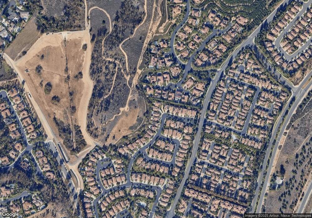
10840 Phillips St Tustin, CA 92782
Tustin Ranch NeighborhoodEstimated Value: $1,962,000 - $2,417,000
4
Beds
3
Baths
2,663
Sq Ft
$822/Sq Ft
Est. Value
About This Home
This home is located at 10840 Phillips St, Tustin, CA 92782 and is currently estimated at $2,188,762, approximately $821 per square foot. 10840 Phillips St is a home located in Orange County with nearby schools including Peters Canyon Elementary School, Pioneer Middle School, and Arnold O. Beckman High School.
Ownership History
Date
Name
Owned For
Owner Type
Purchase Details
Closed on
Dec 4, 2015
Sold by
Yum Dennis Dong and Yum Juli Jungran
Bought by
2009 Yum Family Trust
Current Estimated Value
Purchase Details
Closed on
Mar 25, 2010
Sold by
Litzie Anthony Kenneth and Litzie Sandra Lynn
Bought by
Yum Dennis Donghae and Yum Juli Jungram
Home Financials for this Owner
Home Financials are based on the most recent Mortgage that was taken out on this home.
Original Mortgage
$729,000
Outstanding Balance
$481,473
Interest Rate
4.91%
Mortgage Type
New Conventional
Estimated Equity
$1,707,289
Purchase Details
Closed on
Oct 9, 1998
Sold by
Lewis Homes Of California
Bought by
Litzie Anthony Kenneth and Litzie Sandra Lynn
Home Financials for this Owner
Home Financials are based on the most recent Mortgage that was taken out on this home.
Original Mortgage
$190,000
Interest Rate
6.71%
Create a Home Valuation Report for This Property
The Home Valuation Report is an in-depth analysis detailing your home's value as well as a comparison with similar homes in the area
Home Values in the Area
Average Home Value in this Area
Purchase History
| Date | Buyer | Sale Price | Title Company |
|---|---|---|---|
| 2009 Yum Family Trust | -- | None Available | |
| Yum Dennis Donghae | $930,000 | Stewart Title Irvine | |
| Litzie Anthony Kenneth | $420,000 | Orange Coast Title Company |
Source: Public Records
Mortgage History
| Date | Status | Borrower | Loan Amount |
|---|---|---|---|
| Open | Yum Dennis Donghae | $729,000 | |
| Previous Owner | Litzie Anthony Kenneth | $190,000 |
Source: Public Records
Tax History Compared to Growth
Tax History
| Year | Tax Paid | Tax Assessment Tax Assessment Total Assessment is a certain percentage of the fair market value that is determined by local assessors to be the total taxable value of land and additions on the property. | Land | Improvement |
|---|---|---|---|---|
| 2025 | $12,310 | $1,200,458 | $807,775 | $392,683 |
| 2024 | $12,310 | $1,176,920 | $791,936 | $384,984 |
| 2023 | $12,029 | $1,153,844 | $776,408 | $377,436 |
| 2022 | $13,297 | $1,131,220 | $761,184 | $370,036 |
| 2021 | $13,000 | $1,109,040 | $746,259 | $362,781 |
| 2020 | $12,817 | $1,097,669 | $738,607 | $359,062 |
| 2019 | $12,569 | $1,076,147 | $724,125 | $352,022 |
| 2018 | $12,296 | $1,055,047 | $709,927 | $345,120 |
| 2017 | $11,939 | $1,034,360 | $696,007 | $338,353 |
| 2016 | $11,721 | $1,014,079 | $682,360 | $331,719 |
| 2015 | $11,593 | $998,847 | $672,110 | $326,737 |
| 2014 | $11,463 | $979,281 | $658,944 | $320,337 |
Source: Public Records
Map
Nearby Homes
- 2508 Platt Place
- 10940 Tantlinger Dr
- 10715 Plumas Way
- 10885 Silverado Terrace
- 66 Furlong
- 59 Longchamp
- 2240 Foothill Blvd
- 90 Rockinghorse
- 55 Suede
- 1761 Lemon Terrace
- 65 Glacier Valley
- 212 Clear Falls
- 224 Clear Falls
- 11755 Collar Ave
- 120 Long Fence
- 10162 La Sierra Place
- 9 Spanish Moss
- 10442 Brightwood Dr
- 114 Great Oak
- 10182 Cowan Heights Dr
- 10850 Phillips St
- 2495 Reynolds Dr
- 2505 Reynolds Dr
- 10860 Phillips St
- 2515 Reynolds Dr
- 10870 Phillips St
- 2466 Angelina Place
- 2474 Angelina Place
- 2510 Reynolds Dr
- 2525 Reynolds Dr
- 2482 Angelina Place
- 10880 Phillips St
- 2458 Angelina Place
- 2520 Reynolds Dr
- 2535 Reynolds Dr
- 10890 Phillips St
- 2500 Platt Place
- 2530 Reynolds Dr
- 2565 Thompson Ave
