10842 Lowell Rd Dewitt, MI 48820
Estimated Value: $287,000 - $307,000
2
Beds
1
Bath
1,008
Sq Ft
$297/Sq Ft
Est. Value
About This Home
This home is located at 10842 Lowell Rd, Dewitt, MI 48820 and is currently estimated at $299,597, approximately $297 per square foot. 10842 Lowell Rd is a home located in Clinton County with nearby schools including St. Johns High School.
Ownership History
Date
Name
Owned For
Owner Type
Purchase Details
Closed on
Jan 28, 2005
Sold by
Strable David E
Bought by
Smith Sherie and Smith Daniel
Current Estimated Value
Home Financials for this Owner
Home Financials are based on the most recent Mortgage that was taken out on this home.
Original Mortgage
$162,212
Outstanding Balance
$88,597
Interest Rate
6.9%
Mortgage Type
Purchase Money Mortgage
Estimated Equity
$211,000
Create a Home Valuation Report for This Property
The Home Valuation Report is an in-depth analysis detailing your home's value as well as a comparison with similar homes in the area
Purchase History
| Date | Buyer | Sale Price | Title Company |
|---|---|---|---|
| Smith Sherie | $170,750 | Transnation Title |
Source: Public Records
Mortgage History
| Date | Status | Borrower | Loan Amount |
|---|---|---|---|
| Open | Smith Sherie | $162,212 |
Source: Public Records
Tax History
| Year | Tax Paid | Tax Assessment Tax Assessment Total Assessment is a certain percentage of the fair market value that is determined by local assessors to be the total taxable value of land and additions on the property. | Land | Improvement |
|---|---|---|---|---|
| 2025 | $2,089 | $136,700 | $60,000 | $76,700 |
| 2024 | $9 | $119,900 | $60,000 | $59,900 |
| 2023 | $871 | $105,300 | $0 | $0 |
| 2022 | $1,889 | $99,100 | $55,100 | $44,000 |
| 2021 | $1,849 | $83,100 | $37,600 | $45,500 |
| 2020 | $1,788 | $78,200 | $31,100 | $47,100 |
| 2019 | $1,694 | $74,000 | $27,600 | $46,400 |
| 2018 | $1,681 | $64,100 | $25,600 | $38,500 |
| 2017 | -- | $79,800 | $26,800 | $53,000 |
| 2016 | -- | $76,300 | $23,900 | $52,400 |
| 2015 | -- | $73,700 | $0 | $0 |
| 2011 | -- | $73,100 | $0 | $0 |
Source: Public Records
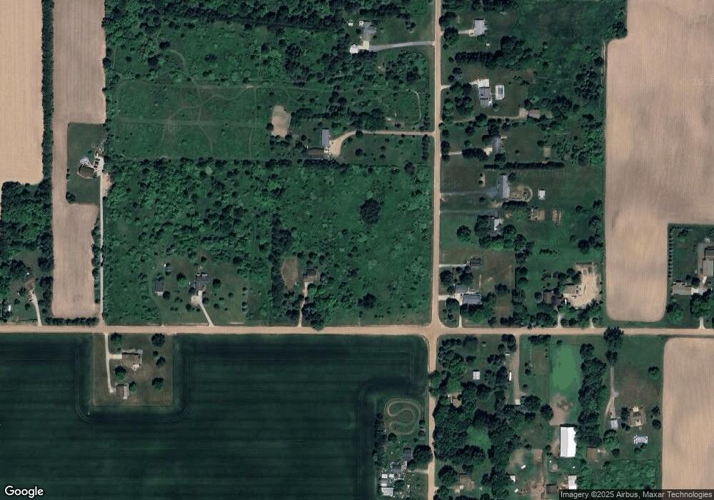
Map
Nearby Homes
- 6260 W Chadwick Rd
- 10880 S Francis Rd
- 10349 S Francis Rd
- 4975 W Cutler Rd
- 4270 Calipso Ct
- 11740 Kalamata Dr
- 11625 Murano Dr Unit 63
- 14013 Ambrosia Ave
- 3535 Stanwood Dr
- 12684 Airport Rd
- 7895 W Herbison Rd
- 4083 W Herbison Rd
- 00 Driftwood Dr
- 0 Driftwood Dr
- 1605 Stauffer Ln
- 1114 N Chimney Hill Dr
- 1225 Schavey Rd
- 603 Cherry St
- 513 N Scott St
- 303 W Washington St
- 6078 W Cutler Rd
- 10822 Lowell Rd
- 0 S Lowell Rd
- 6148 W Cutler Rd
- 10855 Lowell Rd
- 10855 Lowell Rd
- 10883 Lowell Rd
- 10893 Lowell Rd
- 10795 Lowell Rd
- 5986 W Cutler Rd
- 10827 Lowell Rd
- 6222 W Cutler Rd
- 10765 Lowell Rd
- 10774 S Lowell Rd
- 10670 Lowell Rd
- 10774 Lowell Rd
- 10774 Lowell Rd
- 10735 Lowell Rd
- 5922 W Cutler Rd
- 6219 W Cutler Rd
Your Personal Tour Guide
Ask me questions while you tour the home.