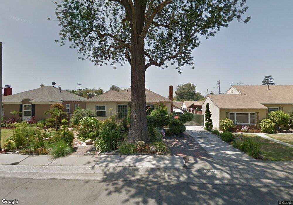
10844 Orange Dr Whittier, CA 90606
West Whittier NeighborhoodEstimated Value: $716,716 - $767,000
2
Beds
1
Bath
1,036
Sq Ft
$723/Sq Ft
Est. Value
About This Home
This home is located at 10844 Orange Dr, Whittier, CA 90606 and is currently estimated at $748,929, approximately $722 per square foot. 10844 Orange Dr is a home located in Los Angeles County with nearby schools including Longfellow Elementary School, Walter F. Dexter Middle School, and Whittier High School.
Ownership History
Date
Name
Owned For
Owner Type
Purchase Details
Closed on
Sep 24, 2024
Sold by
Tayenaka Laurie Mieko
Bought by
Makenna Tayenaka Living Trust and Tayenaka
Current Estimated Value
Purchase Details
Closed on
Aug 26, 2016
Sold by
Matsuno Takatow S
Bought by
Matsuno Takatow S and Matsuno June
Purchase Details
Closed on
Jul 8, 1997
Sold by
Ford Consumer Finance Company Inc
Bought by
Matsuno Randall S
Home Financials for this Owner
Home Financials are based on the most recent Mortgage that was taken out on this home.
Original Mortgage
$139,366
Interest Rate
7.7%
Mortgage Type
FHA
Purchase Details
Closed on
Apr 25, 1997
Sold by
Cooper Susan
Bought by
Ford Consumer Finance Co Inc
Create a Home Valuation Report for This Property
The Home Valuation Report is an in-depth analysis detailing your home's value as well as a comparison with similar homes in the area
Home Values in the Area
Average Home Value in this Area
Purchase History
| Date | Buyer | Sale Price | Title Company |
|---|---|---|---|
| Makenna Tayenaka Living Trust | -- | None Listed On Document | |
| Matsuno Takatow S | -- | None Available | |
| Matsuno Randall S | $141,500 | American Title | |
| Ford Consumer Finance Co Inc | -- | American Title Ins Co |
Source: Public Records
Mortgage History
| Date | Status | Borrower | Loan Amount |
|---|---|---|---|
| Previous Owner | Matsuno Randall S | $139,366 |
Source: Public Records
Tax History
| Year | Tax Paid | Tax Assessment Tax Assessment Total Assessment is a certain percentage of the fair market value that is determined by local assessors to be the total taxable value of land and additions on the property. | Land | Improvement |
|---|---|---|---|---|
| 2025 | $3,080 | $225,911 | $133,954 | $91,957 |
| 2024 | $3,080 | $221,482 | $131,328 | $90,154 |
| 2023 | $3,060 | $217,140 | $128,753 | $88,387 |
| 2022 | $2,983 | $212,883 | $126,229 | $86,654 |
| 2021 | $2,895 | $208,709 | $123,754 | $84,955 |
| 2020 | $2,898 | $206,570 | $122,486 | $84,084 |
| 2019 | $2,846 | $202,521 | $120,085 | $82,436 |
| 2018 | $2,712 | $198,551 | $117,731 | $80,820 |
| 2016 | $2,629 | $190,843 | $113,160 | $77,683 |
| 2015 | $2,525 | $187,978 | $111,461 | $76,517 |
| 2014 | $2,496 | $184,297 | $109,278 | $75,019 |
Source: Public Records
Map
Nearby Homes
- 10607 Orange Dr
- 5915 Morrill Ave
- 11141 Dorland St
- 10608 Whittier Blvd
- 5903 Redman Ave
- 10523 Havenwood Place
- 10602 Monaco Ct
- 5729 Juarez Ave
- 5315 Bihr Ct
- 5235 Andalucia Ct
- 5593 Pioneer Blvd
- 5433 Mesagrove Ave
- 10716 Rose Hedge Dr
- 6350 Court Ave
- 5523 Pioneer Blvd
- 5519 Pioneer Blvd Unit 42
- 10605 Cordoba Ct
- 12208 Rose Dr
- 6242 Acacia Ave
- 5205 Tierra Bonita Dr
- 10850 Orange Dr
- 10834 Orange Dr
- 11002 Orange Dr
- 10843 Howard St
- 10849 Howard St
- 10839 Howard St
- 10828 Orange Dr
- 11008 Orange Dr
- 10843 Orange Dr
- 10847 Orange Dr
- 10833 Howard St
- 11003 Howard St
- 10837 Orange Dr
- 11001 Orange Dr
- 10833 Orange Dr
- 10822 Orange Dr
- 10827 Howard St
- 11014 Orange Dr
- 11009 Howard St
Your Personal Tour Guide
Ask me questions while you tour the home.