10846 30th St NW Annandale, MN 55302
Estimated Value: $579,000 - $686,072
3
Beds
2
Baths
2,843
Sq Ft
$222/Sq Ft
Est. Value
About This Home
This home is located at 10846 30th St NW, Annandale, MN 55302 and is currently estimated at $631,268, approximately $222 per square foot. 10846 30th St NW is a home located in Wright County with nearby schools including Annandale Elementary School, Annandale Middle School, and Annandale Senior High School.
Ownership History
Date
Name
Owned For
Owner Type
Purchase Details
Closed on
Jul 23, 2021
Sold by
Dawson Cortney L and Dawson David
Bought by
Burns Katrina and Burns Timothy
Current Estimated Value
Home Financials for this Owner
Home Financials are based on the most recent Mortgage that was taken out on this home.
Original Mortgage
$455,729
Outstanding Balance
$413,693
Interest Rate
2.93%
Mortgage Type
New Conventional
Estimated Equity
$217,575
Create a Home Valuation Report for This Property
The Home Valuation Report is an in-depth analysis detailing your home's value as well as a comparison with similar homes in the area
Home Values in the Area
Average Home Value in this Area
Purchase History
| Date | Buyer | Sale Price | Title Company |
|---|---|---|---|
| Burns Katrina | $479,715 | Trademark Title Services Inc | |
| Burns Katrina Katrina | $479,700 | -- |
Source: Public Records
Mortgage History
| Date | Status | Borrower | Loan Amount |
|---|---|---|---|
| Open | Burns Katrina | $455,729 | |
| Closed | Burns Katrina Katrina | $455,729 |
Source: Public Records
Tax History Compared to Growth
Tax History
| Year | Tax Paid | Tax Assessment Tax Assessment Total Assessment is a certain percentage of the fair market value that is determined by local assessors to be the total taxable value of land and additions on the property. | Land | Improvement |
|---|---|---|---|---|
| 2025 | $3,044 | $666,500 | $364,900 | $301,600 |
| 2024 | $2,836 | $643,300 | $364,900 | $278,400 |
| 2023 | $2,676 | $621,700 | $354,900 | $266,800 |
| 2022 | $2,510 | $507,100 | $262,600 | $244,500 |
| 2021 | $2,868 | $439,400 | $233,300 | $206,100 |
| 2020 | $2,850 | $395,100 | $233,000 | $162,100 |
| 2019 | $3,022 | $110,700 | $0 | $0 |
| 2018 | $2,432 | $72,700 | $0 | $0 |
| 2017 | $2,426 | $350,200 | $0 | $0 |
| 2016 | $2,348 | $0 | $0 | $0 |
| 2015 | $2,142 | $0 | $0 | $0 |
| 2014 | -- | $0 | $0 | $0 |
Source: Public Records
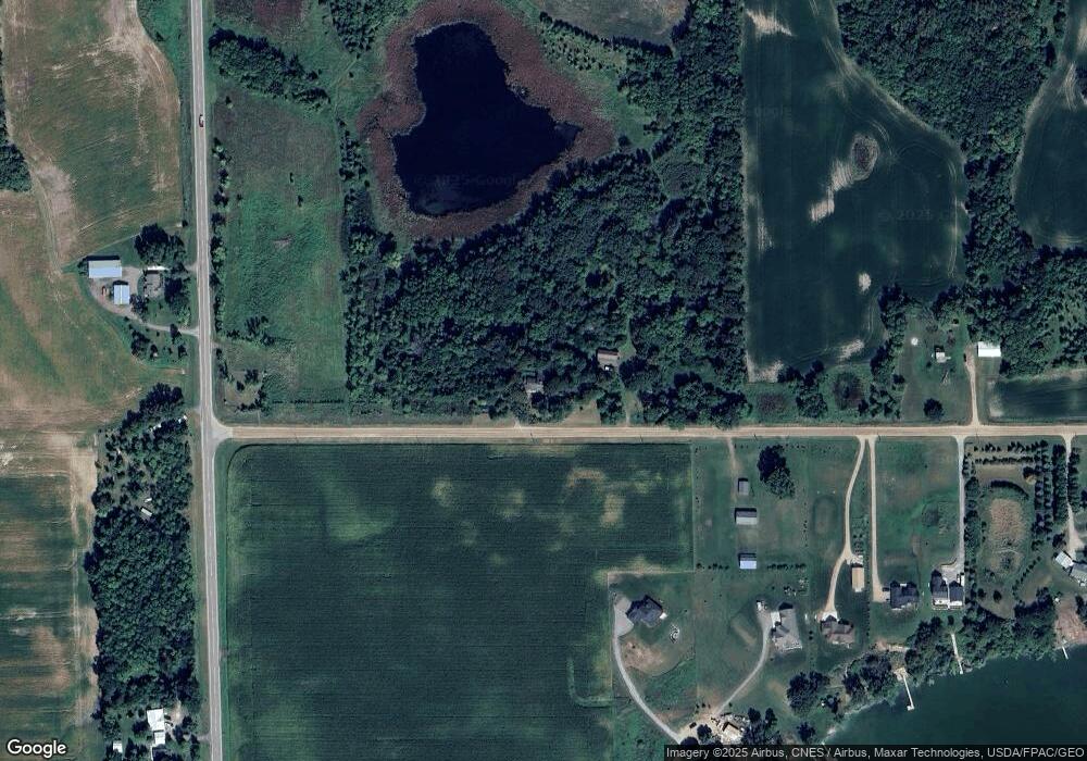
Map
Nearby Homes
- 1794 Lawrence Cir NW
- 3990 Moore Ave NW
- 8752 51st St NW
- 12814 County Road 35 W
- 345 County Highway 4 SW
- 431 County Highway 4 SW
- 7491 County Road 37 NW
- 945 Acacia Cir S
- 521 Douglas Dr S
- 844 Beech Ln S
- 431 Valley Dr W
- 451 Valley Dr W
- 440 Valley Dr W
- 520 Douglas Dr S
- 215 Ash St E
- 510 Douglas Dr S
- 511 Douglas Dr S
- 750 Morrison Ave S
- 681 Irwin Cir
- 520 Valley Dr W
- 10739 30th St NW
- 2851 Kraft Ave NW
- 2872 Kraft Ave NW
- 10695 30th St NW
- 10715 30th St NW
- 3065 County Road 5 NW
- 2860 Kraft Ave NW
- xxx Kraft Ave
- Unassigned County Road 5 Kraft Ave
- 10655 30th St NW
- xxxxx 30th St
- 2838 Kraft Ave NW
- 10650 30th St NW
- 2814 Kraft Ave NW
- 2847 County Road 5 NW
- 2800 Kraft Ave NW
- 2784 Kraft Ave NW
- 2760 Kraft Ave NW
- 3286 County Road 5 NW
- 2714 Kraft Ave NW