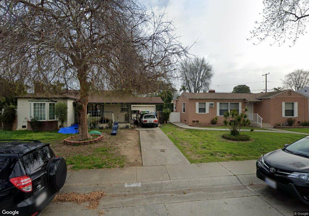
10847 Dorland Dr Whittier, CA 90606
West Whittier NeighborhoodEstimated Value: $794,000 - $900,000
4
Beds
3
Baths
1,723
Sq Ft
$479/Sq Ft
Est. Value
About This Home
This home is located at 10847 Dorland Dr, Whittier, CA 90606 and is currently estimated at $824,942, approximately $478 per square foot. 10847 Dorland Dr is a home located in Los Angeles County with nearby schools including Longfellow Elementary School, Walter F. Dexter Middle School, and Whittier High School.
Ownership History
Date
Name
Owned For
Owner Type
Purchase Details
Closed on
Oct 23, 1997
Sold by
Johnson Ernest S
Bought by
Arana Salvador and Arana Judy Ann
Current Estimated Value
Home Financials for this Owner
Home Financials are based on the most recent Mortgage that was taken out on this home.
Original Mortgage
$97,500
Interest Rate
7.19%
Create a Home Valuation Report for This Property
The Home Valuation Report is an in-depth analysis detailing your home's value as well as a comparison with similar homes in the area
Home Values in the Area
Average Home Value in this Area
Purchase History
| Date | Buyer | Sale Price | Title Company |
|---|---|---|---|
| Arana Salvador | $130,000 | Southland Title Corporation |
Source: Public Records
Mortgage History
| Date | Status | Borrower | Loan Amount |
|---|---|---|---|
| Previous Owner | Arana Salvador | $97,500 | |
| Closed | Arana Salvador | $26,000 |
Source: Public Records
Tax History Compared to Growth
Tax History
| Year | Tax Paid | Tax Assessment Tax Assessment Total Assessment is a certain percentage of the fair market value that is determined by local assessors to be the total taxable value of land and additions on the property. | Land | Improvement |
|---|---|---|---|---|
| 2025 | $4,052 | $306,996 | $129,485 | $177,511 |
| 2024 | $4,052 | $300,978 | $126,947 | $174,031 |
| 2023 | $4,019 | $295,077 | $124,458 | $170,619 |
| 2022 | $4,053 | $289,292 | $122,018 | $167,274 |
| 2021 | $3,942 | $283,621 | $119,626 | $163,995 |
| 2019 | $3,819 | $275,211 | $116,079 | $159,132 |
| 2018 | $3,645 | $269,815 | $113,803 | $156,012 |
| 2016 | $3,462 | $259,339 | $109,385 | $149,954 |
| 2015 | $3,405 | $255,444 | $107,742 | $147,702 |
| 2014 | $3,300 | $250,441 | $105,632 | $144,809 |
Source: Public Records
Map
Nearby Homes
- 10825 Loch Avon Dr
- 10943 Loch Lomond Dr
- 5903 Redman Ave
- 11273 Dorland Dr
- 11302 Maple St
- 11447 Broadway Ave
- 6266 Western Ave
- 6225 Gretna Ave
- 5518 Norwalk Blvd
- 6240 Gretna Ave
- 11005 Mines Blvd
- 5729 Juarez Ave
- 6725 Pioneer Blvd
- 11567 Keith Dr
- 11402 Rose Hedge Dr
- 10050 Obregon St
- 11409 Bradhurst St
- 6222 Magnolia Ave
- 11905 Mendenhall Ln
- 11511 Beverly Dr
- 10843 Dorland Dr
- 10853 Dorland Dr
- 10837 Dorland Dr
- 11003 Dorland Dr
- 10850 El Rey Dr
- 10844 El Rey Dr
- 11002 El Rey Dr
- 10831 Dorland Dr
- 10838 El Rey Dr
- 11009 Dorland Dr
- 10848 Dorland Dr
- 10844 Dorland Dr
- 10852 Dorland Dr
- 11008 El Rey Dr
- 10838 Dorland Dr
- 11002 Dorland Dr
- 10832 El Rey Dr
- 10827 Dorland Dr
- 11015 Dorland Dr
- 10834 Dorland Dr