1085 Buck Dr Lincolnton, GA 30817
Estimated Value: $163,000 - $304,000
3
Beds
2
Baths
1,152
Sq Ft
$179/Sq Ft
Est. Value
About This Home
This home is located at 1085 Buck Dr, Lincolnton, GA 30817 and is currently estimated at $206,119, approximately $178 per square foot. 1085 Buck Dr is a home with nearby schools including Lincoln County Elementary School, Lincoln County Middle School, and Lincoln County High School.
Ownership History
Date
Name
Owned For
Owner Type
Purchase Details
Closed on
Apr 16, 2021
Sold by
Price Luther W
Bought by
Springs Mary Helen and Akins Julie Ann
Current Estimated Value
Home Financials for this Owner
Home Financials are based on the most recent Mortgage that was taken out on this home.
Original Mortgage
$121,500
Outstanding Balance
$4,638
Interest Rate
3%
Mortgage Type
New Conventional
Estimated Equity
$201,481
Purchase Details
Closed on
Nov 16, 1996
Sold by
Fleming Ray and Fleming Bernice
Bought by
Price Luther and Price Monika
Purchase Details
Closed on
Jun 6, 1988
Sold by
Sims David A
Bought by
Fleming Ray C and Fleming Bernice J
Purchase Details
Closed on
Jun 1, 1988
Sold by
Tharpe Bobby J and Tharpe Rachel B
Bought by
Sims David
Create a Home Valuation Report for This Property
The Home Valuation Report is an in-depth analysis detailing your home's value as well as a comparison with similar homes in the area
Home Values in the Area
Average Home Value in this Area
Purchase History
| Date | Buyer | Sale Price | Title Company |
|---|---|---|---|
| Springs Mary Helen | $135,000 | -- | |
| Price Luther | $22,000 | -- | |
| Fleming Ray C | $15,000 | -- | |
| Sims David | $6,800 | -- |
Source: Public Records
Mortgage History
| Date | Status | Borrower | Loan Amount |
|---|---|---|---|
| Open | Springs Mary Helen | $121,500 |
Source: Public Records
Tax History Compared to Growth
Tax History
| Year | Tax Paid | Tax Assessment Tax Assessment Total Assessment is a certain percentage of the fair market value that is determined by local assessors to be the total taxable value of land and additions on the property. | Land | Improvement |
|---|---|---|---|---|
| 2025 | $805 | $33,032 | $28,800 | $4,232 |
| 2024 | $869 | $33,032 | $28,800 | $4,232 |
| 2023 | $862 | $32,780 | $28,800 | $3,980 |
| 2022 | $747 | $30,020 | $28,800 | $1,220 |
| 2021 | $822 | $29,880 | $28,800 | $1,080 |
| 2020 | $960 | $29,880 | $28,800 | $1,080 |
| 2019 | $964 | $29,880 | $28,800 | $1,080 |
| 2018 | $939 | $29,880 | $28,800 | $1,080 |
| 2017 | $1,044 | $33,223 | $32,000 | $1,223 |
| 2016 | $1,035 | $3,880 | $0 | $3,880 |
| 2015 | -- | $33,223 | $32,000 | $1,223 |
| 2014 | -- | $33,223 | $32,000 | $1,223 |
Source: Public Records
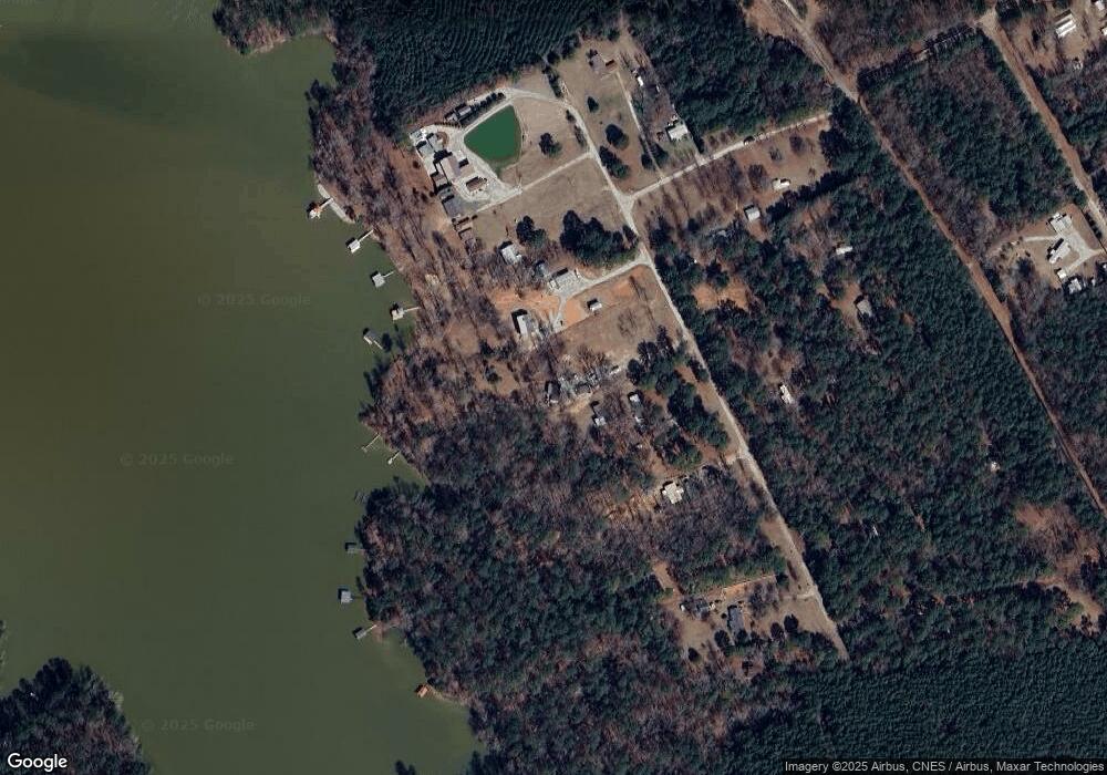
Map
Nearby Homes
- 0 Doe Dr
- Lot 62 Wisteria Dr
- Lot 27 Honeysuckle Dr
- Lot 27 Honeysuckle Trail
- 12 Doe Run
- L31 Willow Way
- LOT 51 Willow Way
- 07 Savannah Bay Dr
- 06 Savannah Bay Dr
- 10B Savannah Bay Dr
- 1034 N Pointe Ct
- 1034 Shore Line Dr
- 0 Outrigger Dr Unit 550086
- 2.19 ACRES Ridgeville Ct
- 1071 Outrigger Dr
- 1051 Macdonald St
- 1021 S Pointe Ct
- LOT 16 S Pointe Ct
- Lot 11 S Pointe Ct
- Lot 18 S Pointe Ct