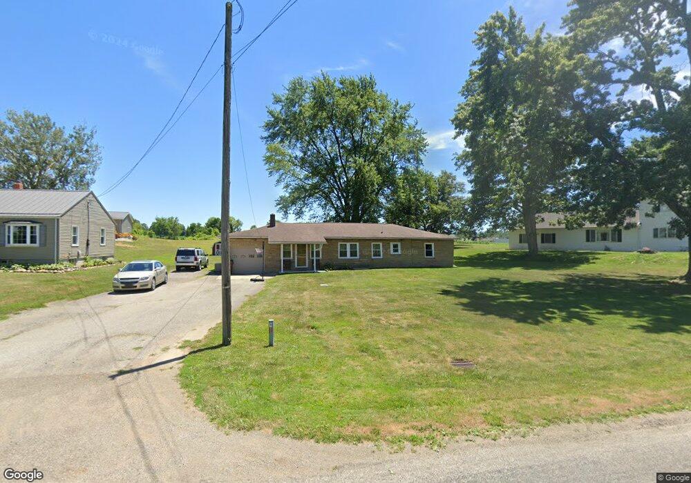
1085 County Road 1175 Ashland, OH 44805
Estimated Value: $141,189 - $199,000
3
Beds
1
Bath
1,248
Sq Ft
$139/Sq Ft
Est. Value
About This Home
This home is located at 1085 County Road 1175, Ashland, OH 44805 and is currently estimated at $173,797, approximately $139 per square foot. 1085 County Road 1175 is a home located in Ashland County with nearby schools including Mapleton Elementary School, Mapleton Middle School, and Mapleton High School.
Ownership History
Date
Name
Owned For
Owner Type
Purchase Details
Closed on
Dec 13, 2011
Sold by
Wayne Savings Community Bank
Bought by
Morrison Kristin L and Morrison Joshua J
Current Estimated Value
Home Financials for this Owner
Home Financials are based on the most recent Mortgage that was taken out on this home.
Original Mortgage
$47,405
Outstanding Balance
$31,691
Interest Rate
4.11%
Mortgage Type
New Conventional
Estimated Equity
$142,106
Purchase Details
Closed on
Mar 1, 1996
Sold by
Gierhart Bruce O
Bought by
Gray Douglas L
Purchase Details
Closed on
Jan 1, 1990
Bought by
Gierhart Bruce O
Create a Home Valuation Report for This Property
The Home Valuation Report is an in-depth analysis detailing your home's value as well as a comparison with similar homes in the area
Home Values in the Area
Average Home Value in this Area
Purchase History
| Date | Buyer | Sale Price | Title Company |
|---|---|---|---|
| Morrison Kristin L | $49,900 | -- | |
| Gray Douglas L | $72,000 | -- | |
| Gierhart Bruce O | -- | -- |
Source: Public Records
Mortgage History
| Date | Status | Borrower | Loan Amount |
|---|---|---|---|
| Open | Morrison Kristin L | $47,405 |
Source: Public Records
Tax History Compared to Growth
Tax History
| Year | Tax Paid | Tax Assessment Tax Assessment Total Assessment is a certain percentage of the fair market value that is determined by local assessors to be the total taxable value of land and additions on the property. | Land | Improvement |
|---|---|---|---|---|
| 2024 | $927 | $28,080 | $5,090 | $22,990 |
| 2023 | $927 | $28,080 | $5,090 | $22,990 |
| 2022 | $834 | $22,460 | $4,070 | $18,390 |
| 2021 | $836 | $22,460 | $4,070 | $18,390 |
| 2020 | $776 | $22,460 | $4,070 | $18,390 |
| 2019 | $700 | $19,650 | $4,040 | $15,610 |
| 2018 | $734 | $19,650 | $4,040 | $15,610 |
| 2017 | $742 | $19,650 | $4,040 | $15,610 |
| 2016 | $670 | $17,860 | $3,670 | $14,190 |
| 2015 | $646 | $17,860 | $3,670 | $14,190 |
| 2013 | $950 | $25,210 | $3,660 | $21,550 |
Source: Public Records
Map
Nearby Homes
- 99 Harold Dr
- 95 Harold Dr
- 32 Terrace Dr
- 16 Terrace Dr
- 67 Harold Dr
- 3 Terrace Dr
- 1173 Township Road 753
- 1520 Orange Rd Unit 22
- 1520 Orange Rd
- 1191 State Route 511
- 1438 Peachtree Dr
- 0 Westlake Dr
- 900 County Road 801
- 1471 Troy Rd
- 945 Virginia Ave
- 885 State Route 58
- 410 E 9th St
- 1022 Union St
- 634 Marlo Ave
- 255 E 9th St
- 1085 Co Rd 1175
- 1083 County Road 1175
- 1092 County Road 1175
- 1089 County Road 1175
- 1077 County Road 1175
- 1064 County Road 1175
- 1063 County Road 1175
- 1063 Co Rd 1175
- 1062 County Road 1175
- 1067 County Road 1175
- 847 1054
- 847 Twp Rd 1054
- 1056 County Road 1175
- 1049 County Road 1175
- 1089 Township Road 975
- 1045 County Road 1175
- 1046 County Road 1175
- 1101 County Road 1175
- 1093 Township Road 975
- 1102 County Road 1175