1085 Keokuk Ave Unit 1083 Hazleton, IA 50641
Estimated Value: $194,000 - $288,000
3
Beds
2
Baths
1,260
Sq Ft
$203/Sq Ft
Est. Value
About This Home
This home is located at 1085 Keokuk Ave Unit 1083, Hazleton, IA 50641 and is currently estimated at $256,038, approximately $203 per square foot. 1085 Keokuk Ave Unit 1083 is a home located in Buchanan County with nearby schools including Little Husky Learning Center, Wings Park Elementary School, and Parkside Elementary School.
Ownership History
Date
Name
Owned For
Owner Type
Purchase Details
Closed on
Nov 17, 2011
Sold by
Estate Of Charleen M Alsip
Bought by
Nefzger Charla
Current Estimated Value
Purchase Details
Closed on
Mar 24, 2007
Sold by
Alsip Robyn and Nefzger Charla
Bought by
Alsip Charleen M
Create a Home Valuation Report for This Property
The Home Valuation Report is an in-depth analysis detailing your home's value as well as a comparison with similar homes in the area
Home Values in the Area
Average Home Value in this Area
Purchase History
| Date | Buyer | Sale Price | Title Company |
|---|---|---|---|
| Nefzger Charla | -- | None Available | |
| Alsip Charleen M | -- | None Available |
Source: Public Records
Tax History Compared to Growth
Tax History
| Year | Tax Paid | Tax Assessment Tax Assessment Total Assessment is a certain percentage of the fair market value that is determined by local assessors to be the total taxable value of land and additions on the property. | Land | Improvement |
|---|---|---|---|---|
| 2025 | $1,700 | $176,480 | $11,350 | $165,130 |
| 2024 | $1,700 | $158,060 | $9,210 | $148,850 |
| 2023 | $1,734 | $158,060 | $9,210 | $148,850 |
| 2022 | $1,866 | $130,250 | $7,210 | $123,040 |
| 2021 | $1,838 | $130,250 | $7,210 | $123,040 |
| 2020 | $1,838 | $119,810 | $6,430 | $113,380 |
| 2019 | $1,774 | $119,810 | $6,430 | $113,380 |
| 2018 | $1,648 | $121,290 | $9,560 | $111,730 |
| 2017 | $1,586 | $121,290 | $9,560 | $111,730 |
| 2016 | $1,552 | $117,298 | $10,790 | $106,508 |
| 2015 | $1,552 | $117,298 | $10,790 | $106,508 |
| 2014 | $1,652 | $124,554 | $15,580 | $108,974 |
Source: Public Records
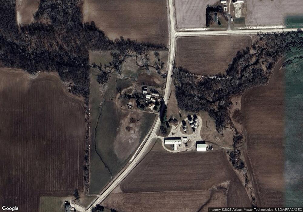
Map
Nearby Homes
- 201 Westline Dr
- 1894 105th St
- 207 1st St N
- 104 Monroe St S
- 106 Madison St S
- 1836 105th St
- 0 S Frederick & Wildwood Ln Unit NBR20254283
- 1128 1st Ave SW
- 817 7th St SE
- 00 Q Ave
- 0 Q Ave
- 919 1st Ave SE
- 973 S Frederick Ave
- 418 7th Ave SE
- 825 1st Ave SW
- 719 S Frederick Ave
- 720 S Frederick Ave
- 28 12th Ave SE
- 100 Hillside Dr W
- 1213 Elm St
- 1090 Keokuk Ave
- 2073 108th St
- 1103 Keokuk Ave
- 1102 Keokuk Ave
- 1083 Keokuk Ave
- 2053 105th St
- 2032 105th St
- 2107 108th St
- 1131 Keokuk Ave
- 2035 105th St
- 2023 105th St
- 1021 Keokuk Ave
- 1055 Keokuk Ave
- 2138 108th St
- 0 Hwy C57 & Keokuk Ave Unit 6317040
- 0 Hwy C57 & Keokuk Ave Unit 694744
- 0 108th St
- 0 108th St
- 2073 118th St
- 1163 Keokuk Ave