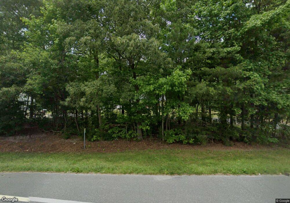
10850 Dupont Blvd Lincoln, DE 19960
Lincoln NeighborhoodEstimated Value: $161,346 - $386,000
--
Bed
--
Bath
1,525
Sq Ft
$204/Sq Ft
Est. Value
About This Home
This home is located at 10850 Dupont Blvd, Lincoln, DE 19960 and is currently estimated at $311,337, approximately $204 per square foot. 10850 Dupont Blvd is a home with nearby schools including Mispillion Elementary School, Milford Central Academy, and Milford Senior High School.
Ownership History
Date
Name
Owned For
Owner Type
Purchase Details
Closed on
Jan 10, 2018
Sold by
Shannon Brian G and Shannon Patricia E
Bought by
Lemus Jose and Lemus Julia A
Current Estimated Value
Purchase Details
Closed on
Jan 8, 2018
Sold by
Shannon Brian G and Shannon Patricia E
Bought by
Lemus Jose and Lemus Julia A
Purchase Details
Closed on
Oct 12, 2011
Bought by
Shannon Brian G Patricia E Shannon
Purchase Details
Closed on
Oct 11, 2011
Bought by
Shannon Brian G Patricia E Shannon
Create a Home Valuation Report for This Property
The Home Valuation Report is an in-depth analysis detailing your home's value as well as a comparison with similar homes in the area
Home Values in the Area
Average Home Value in this Area
Purchase History
| Date | Buyer | Sale Price | Title Company |
|---|---|---|---|
| Lemus Jose | $32,500 | -- | |
| Lemus Jose | $32,500 | -- | |
| Shannon Brian G Patricia E Shannon | -- | -- | |
| Shannon Brian G Patricia E Shannon | -- | -- |
Source: Public Records
Tax History Compared to Growth
Tax History
| Year | Tax Paid | Tax Assessment Tax Assessment Total Assessment is a certain percentage of the fair market value that is determined by local assessors to be the total taxable value of land and additions on the property. | Land | Improvement |
|---|---|---|---|---|
| 2025 | $1,160 | $3,700 | $3,700 | $0 |
| 2024 | $1,176 | $3,700 | $3,700 | $0 |
| 2023 | $1,220 | $3,700 | $3,700 | $0 |
| 2022 | $934 | $3,700 | $3,700 | $0 |
| 2021 | $205 | $3,700 | $3,700 | $0 |
| 2020 | $206 | $3,700 | $3,700 | $0 |
| 2019 | $207 | $3,700 | $3,700 | $0 |
| 2018 | $208 | $3,700 | $0 | $0 |
| 2017 | $211 | $3,700 | $0 | $0 |
| 2016 | $228 | $3,700 | $0 | $0 |
| 2015 | $161 | $3,700 | $0 | $0 |
Source: Public Records
Map
Nearby Homes
- 11248 Curt Dogg Rd
- 11240 Curt Dogg Rd
- 119 Hudson Mill Rd
- JEFFERSON Plan at Ingram Village
- 11064 N Union Church Rd
- 10709 N Union Church Rd
- Lot 2 N Union Church Rd
- Lot 1 N Union Church Rd
- 18691 Fleatown Rd
- Nelson Plan at Ingram Village
- Peterman II Plan at Ingram Village
- Drake Plan at Ingram Village
- Frank Plan at Ingram Village
- Vandelay Plan at Ingram Village
- Whatley Plan at Ingram Village
- Lloyd Plan at Ingram Village
- George Plan at Ingram Village
- Reston Plan at Ingram Village
- Brenner Plan at Ingram Village
- Jerry Plan at Ingram Village
- 10836 Dupont Blvd
- 10851 Dupont Blvd
- 10839 Dupont Blvd
- 17983 Fleatown Rd
- 10808 Dupont Blvd
- 10831 Dupont Blvd
- 10819 Dupont Blvd
- 74.9+/- Acres Rt 113
- 9.94 Ac Route 113
- 00 Fleatown Rd
- Lot 0 Fleatown Rd
- p. 135 Dupont Hwy
- 10807 Dupont Blvd
- 10786 Dupont Blvd
- 18015 Fleatown Rd
- 10769 Dupont Blvd
- 11624 Deerwood Rd
- 10761 Dupont Blvd
- 11376 Curt Dogg Rd
- 10748 Dupont Blvd
